The instrument's own words
page 1 · read by Gemma vision
40
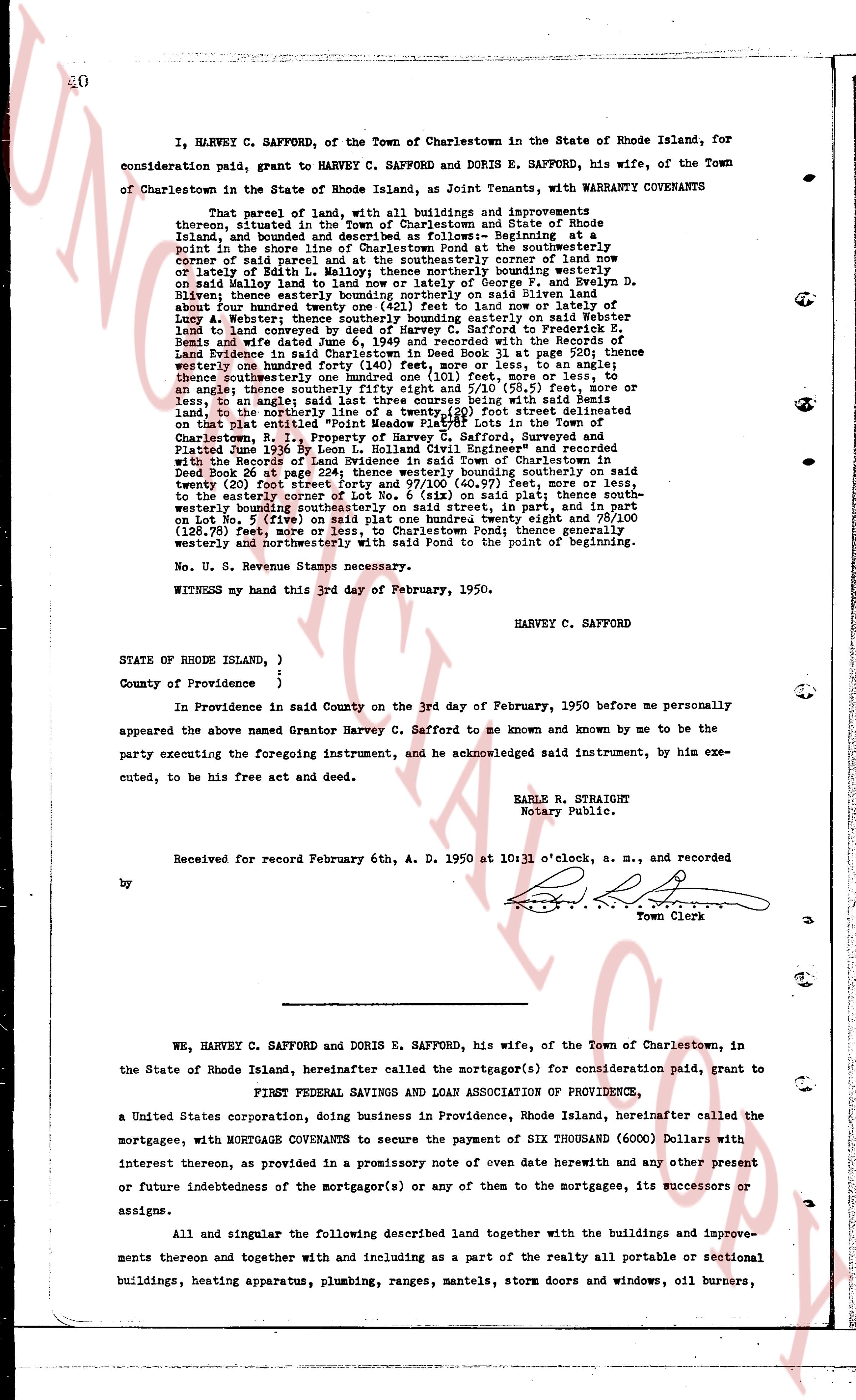
I, HARVEY C. SAFFORD, of the Town of Charlestown in the State of Rhode Island, for
consideration paid, grant to HARVEY C. SAFFORD and DORIS E. SAFFORD, his wife, of the Town
of Charlestown in the State of Rhode Island, as Joint Tenants, with WARRANTY COVENANTS
That parcel of land, with all buildings and improvements thereon, together
thereon, situated in the Town of Charlestown and State of Rhode Island, and bounded and
described as follows: Beginning at the southeasterly
point in the shore line of Charlestown Pond at the southeasterly corner of land now
owned by said parcel land now owned by the northeasterly corner of land now
or lately of Edith L. Hall; northerly thence bounding northerly on said westerly
Hall and [?] land to the northeasterly corner of George B. and Evelyn D.
Bliven; easterly thence bounding easterly on said Bliven land about
one hundred twenty feet to a point on land now or lately owned by
Louis A. Webster; southerly thence bounding southerly on said Webster
land to land conveyed to the State of Rhode Island by Deed in Book 23
Remis and wife dated June 6, 1949 and recorded with the Records of the
Land Evidence of said Town of Charlestown in Book 13 page 256; there
westerly one hundred forty (140) feet, more or less, to an angle;
thence northerly one hundred twenty (120) feet, more or less, to an
angle; thence southeasterly fifty eight 5/10 and eight 5/10 (58.5) feet, more or
less, to an angle; thence southeasterly one hundred (100) feet, more or less,
to an angle; thence easterly one hundred (100) feet, bounding being with said
land, to the northerly line of a twenty (20) foot street delineated
on that plat entitled "Point Lookout" and filed in the Town Clerk's office of
Charlestown, R. I., January 1, 1949, prepared by Harvey C. Safford, surveyed and
Platted June 23 1949 by Leon L. Holliday Civil Engineer" and recorded
with the Record of Land Evidence of the Town of Charlestown in
Deed Book 26 plat page 224; thence westerly bounding southerly on said
twenty (20) foot street one hundred (100) feet (100.7) feet, more or less,
to the easterly corner of Lot No. 6 (six) on said plat; thence southwester-
ly, bounding northerly on said Lot No. 6 (six) street, 148 feet, and in
on Lot No. 5 (five) on said plat one hundred twenty eight and 78/100
(128.78) feet, more or less, to the shore line of said Pond; thence south
westerly and northwesterly with said Pond to the point of beginning.
No. U. S. Revenue Stamps necessary.
WITNESS my hand this 3rd day of February, 1950.
HARVEY C. SAFFORD
STATE OF RHODE ISLAND, )
)
County of Providence in
)
In Providence in said County on the 3rd day of February, 1950 before me personally
appeared the named Grantor Harvey C. Safford to me known and by me to be the
party executing the foregoing instrument, and he acknowledged said instrument, by him exe-
cuted, to be his free act and deed.
EARLE R. STRAIGHT
Notary Public.
Received for record February 6th, A. D. 1950 at 10 o'clock, a. m., and recorded
by [signature]
Town Clerk
page 2 · read by Gemma vision
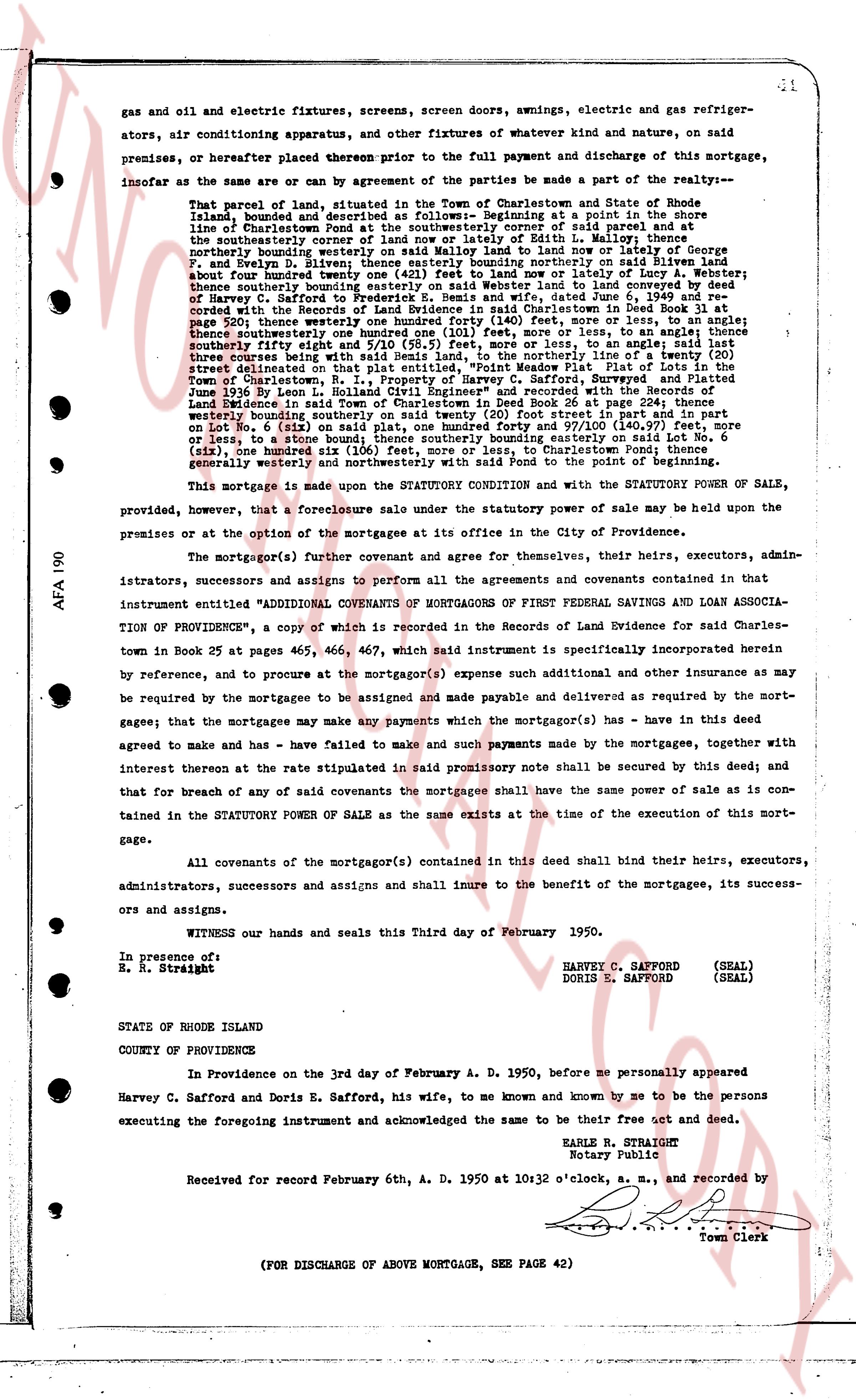
gas and oil and electric fixtures, screens, screens doors, awnings, electric and gas refriger-
ators, air conditioning apparatus, and other fixtures of whatever kind and nature, on said
premises, or hereafter placed thereon prior to the full payment and discharge of this mortgage,
insofar as the same are or can by agreement of the parties be made a part of the realty:-
That parcel of land, situated in the Town of Charlestown and State of Rhode
Island, bounded and described as follows:- Beginning at a point in the shore
line of Charlestown Pond at the southwestern corner of said parcel and at
the southeasterly corner of the land of George F. Safford in Lot 1, running
northerly bounding westerly on said Malloy land to land now or lately of George F.
Safford and Thomas J. Clarke, running thence northeasterly on said land
about four hundred twenty one (421) feet to land now or lately of A. Webster
thence easterly bounding northerly on said land to land now or lately of
Harvey C. Safford to Frederick S. Bemis and wife, dated June 6, 1949 and re-
corded at the Book of Land Evidence of Charlestown, Rhode Island, at page
520; thence westerly one hundred forty (140) feet, more or less, to an angle;
thence southwesterly one hundred forty (140) feet, more or less, to land now or
southeasterly fifty eight and 10/100 (58.10) feet, more or less, to an angle; said land
three acres weighing one hundred fifty eight and 10/100 (158.10) feet line of Lot 1 at page
510 street delineated on that plat entitled, "Point Viewson Map, Plat of Lots in the
Town of Charlestown, State of Rhode Island, as they appear on February 1, 1936"
June 1936 by L. Leon Howland Civil Engineer" and recorded with the Records of
Land Evidence in said Town of Charlestown in Book 25 page 466, running
easterly bounding southeasterly on said land one hundred foot street and in part
on Lot No. 6 (six) on said plat, one hundred forty and 97/100 (140.97) feet, more
or less, to an angle; thence southerly bounding southeasterly forty seventy (40.70) feet,
(six), one hundred six (106) feet, more or less, to Charlestown Pond; thence
generally westerly bounding southerly on the point of the pond, returning to the
beginning westerly area seventy six (76) feet.
This mortgage is made under the STATUTORY CONDITION and with the STATUTORY POWER OF SALE,
provided, however, that a foreclosure sale under the statutory power of sale may be held upon the
premises or at the option of the mortgagee at its office in the City of Providence.
The mortgagor(s) further covenant and agree for themselves, their heirs, executors, admin-
istrators, successors and assigns to perform all the agreements and covenants contained in
that instrument entitled "ADDITIONAL COVENANTS OF MORTGAGORS OF FIRST FEDERAL SAVINGS AND LOAN ASSOCIA-
TION OF PROVIDENCE", a copy of which is recorded in the Records of Land Evidence for said Charles-
town in Book 25 at pages 465, 466, 467, which said instrument is specifically incorporated herein
by reference, and to procure at the mortgagor(s) expense such additional and other insurance as may
be required by the mortgagee to be assigned and made payable and delivered as required by the mort-
gagee; that the mortgagees may make any payments which the mortgagor(s) has - have in this deed
agreed to make and has - have failed to make and such payments made by the mortgagee, together with
interest thereon at the rate stipulated in said promissory note shall be secured by this deed; and
that for breach of any of said covenants the mortgagee shall have the same power of sale as is con-
tained in the STATUTORY POWER OF SALE as the same exists at the time of the execution of this mort-
gage.
All covenants of the mortgagor(s) contained in this deed shall bind their heirs, executors,
administrators, successors and assigns and shall inure to the benefit of the mortgagee, its success-
ors and assigns.
WITNESS our hands and seals and this Third day of February 1950.
In presence of:
R. S. Straight
HARVEY C. SAFFORD (SEAL)
DORIS E. SAFFORD (SEAL)
STATE OF RHODE ISLAND
COUNTY OF PROVIDENCE
In Providence on the 3rd day of February A. D. 1950, before me personally appeared
Harvey C. Safford and Doris E. Safford, his wife, to me known and known by me to be the persons
executing the foregoing instrument and acknowledged the same to be their free act and deed.
EARLE R. STRAIGHT
Notary Public
Received for record February 6th, A. D. 1950 at 10:32 o'clock, a. m., and recorded by
[?]
Town Clerk
(FOR DISCHARGE OF ABOVE MORTGAGE, SEE PAGE 42)
The page as recorded