The instrument's own words
page 1 · read by Gemma vision
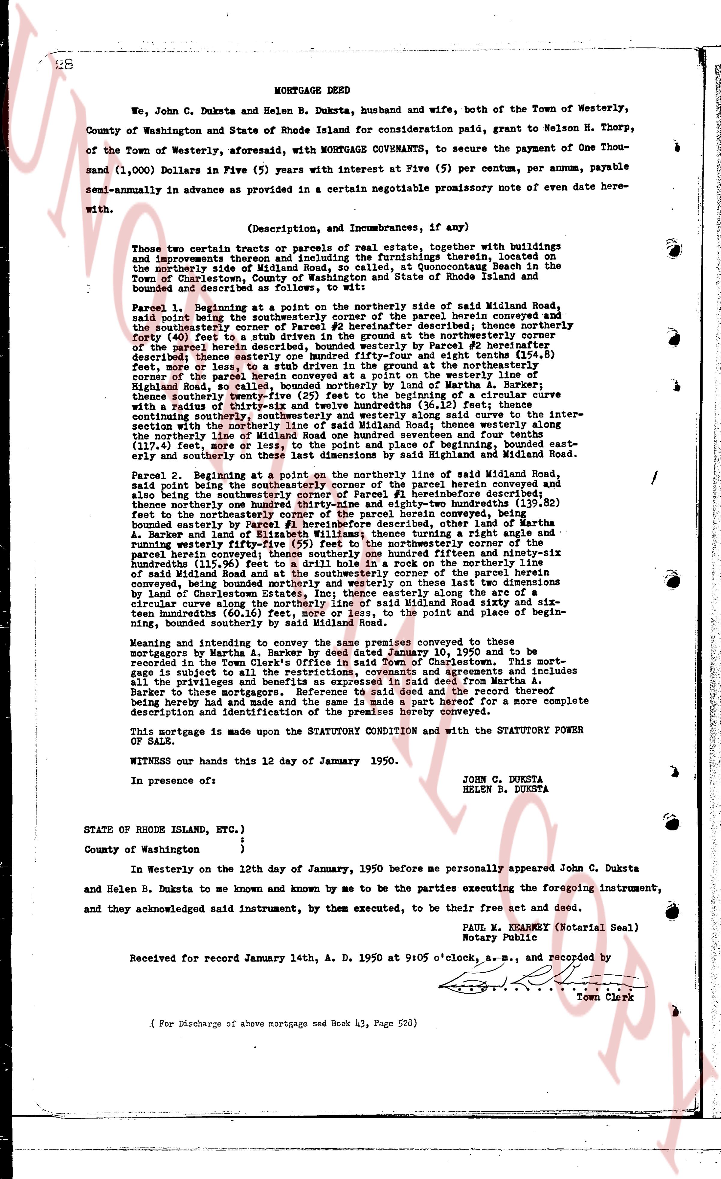
MORTGAGE DEED
We, John C. Duksta and Helen B. Duksta, husband and wife, both of the Town of Westerly, County of Washington and State of Rhode Island for consideration paid, grant to Nelson H. Thorp, of the Town of Westerly, aforesaid, with MORTGAGE COVENANTS, to secure the payment of One Thousand (1,000) Dollars in Five (5) years with interest at Five (5) per centum, per annum, payable semi-annually in advance as provided in a certain negotiable promissory note of even date herewith.
(Description, and imcumbrances, if any)
Those two certain tracts or parcels of real estate, together with buildings and improvements thereon and including the furnishings therein, located on the northerly side of Midlan Road, so called, at Conoguequut Beach in the Town of Charlestown, County of Washington, State of Rhode Island and more particularly described and bounded as follows, to wit:
Parcel 1. Beginning at a point on the northerly side of said Midlan Road, said point being the northeasterly corner of the northerly parcel herein conveyed and the southeasterly corner of Parcel #2 hereinafter described; thence northerly forty (40) feet to a point being the northeasterly corner of the northeasterly parcel of the parcel herein described, bounded westerly on the northerly boundary of Parcel #2 hereinafter described, thence southeasterly forty (40) feet from the right angle boundary (11.8) feet, more or less, to a stub driven in the ground on the northerly boundary of the parcel herein described, bounded northerly on the pasture, westerly line of Highland Road, so called, bounded northerly by its line of Martha A. Barker; whereafter thence southerly twenty-five (25) feet from the beginning of a curve with a radius of the circle being 100 feet, to the end of said curve (36.12) feet; thence continuing southeasterly, continuing southeasterly and westerly along the curve to the intersection of said curve with the northerly line of Midlan Road, thence westerly along the northerly line of Midlan Road one hundred seventy seven thousand and fourteen tenths (177.14) feet, more or less, to the point of beginning bounded eastward and easterly on the last dimensions by said Highland and Midlan Road.
Parcel 2. Beginning at a point on the northerly line of said Midlan Road, said point being the southeasterly corner of the northerly parcel herein conveyed and also being the southeasterly corner of Parcel #1 hereinbefore described; thence northerly twenty-five (25) feet to a point being the northeasterly corner of the (40.2) feet to the northeasterly corner of the parcel herein conveyed, being bounded easterly by Parcel #1 hereinafter described, thence right angle a runly and northerly twenty-five (25) feet to a point on the northerly boundary of the parcel herein conveyed; thence southerly one hundred ninety five and ninety-three hundredths (195.93) feet to the northerly line of Midlan Road and at the southeasterly corner of the parcel herein conveyed, being bounded northerly and westerly on these last two dimensions by land of Courtenay A. Barker, and easterly by Elizabeth Williams; thence more northerly and westerly along the curve to the intersection of said curve with the northerly line of Midlan Road sixty six and six tenths hundredths (66.6) feet, more or less, to the point of beginning, bounded southerly by said Midlan Road.
Meaning and intending to convey to the same premises conveyed to these mortgagors by Martha A. Barker and Courtenay A. Barker January 10, 1950 and to be recorded in the Town Clerk's Office in said Town of Charlestown. This mortgage is subject to all taxes, assessments, liens and agreements and includes all the privileges and benefits as expressed in said deed from Martha A. Barker to these mortgagors and is subject to said deed and the reservations thereof being here made and and the same is made a part hereof for a more complete description and identification of the premises hereby conveyed.
This mortgage is made upon the STATUTORY CONDITION and with the STATUTORY POWER OF SALE.
WITNESS our hands this 12 day of January 1950.
JOHN C. DUKSTA
HELEN B. DUKSTA
In presence of:
STATE of RHODE ISLAND, ETC.)
County of Washington }
}
In Westerly on the 12th day of January, 1950 before me personally appeared John C. Duksta and Helen B. Duksta to me known and known by me to be the parties executing the foregoing instrument, and they acknowledged said instrument, by them executed, to be their free act and deed.
PAUL M. KRANERT (Notarial Seal)
Notary Public
Received for record January 14th, A. D. 1950 at 9:05 o'clock, a. m., and recorded by [Seal]
Town Clerk
( For Discharge of above mortgage see Book 43, Page 583)
The page as recorded