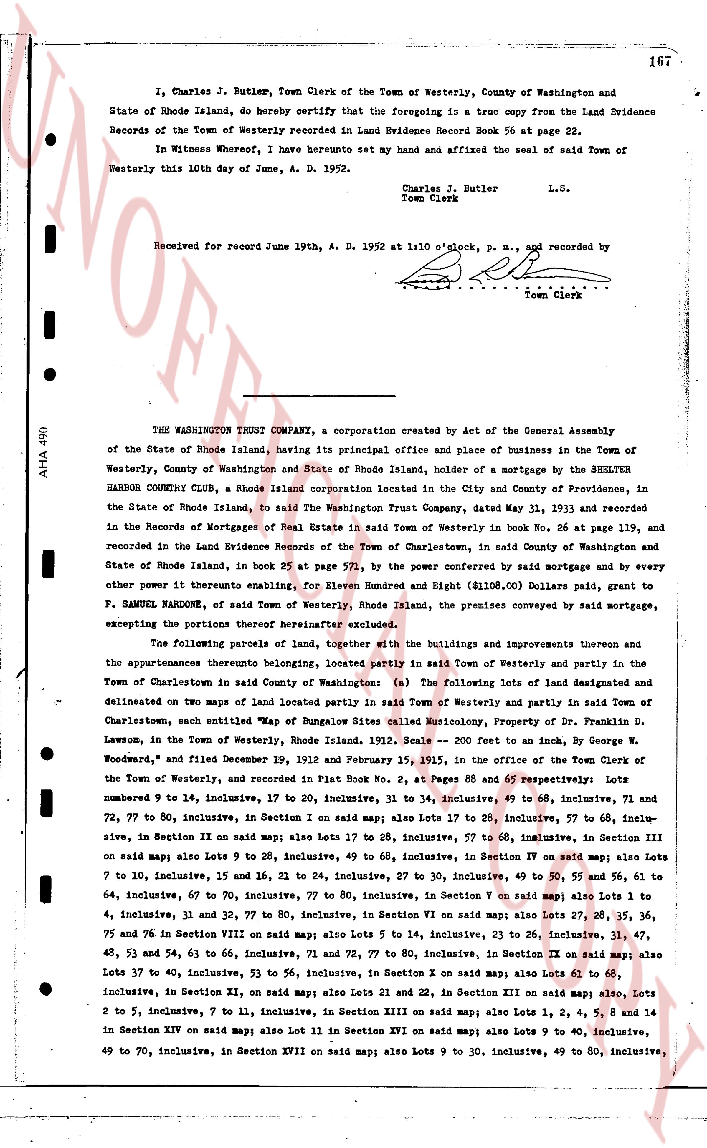
The instrument's own words
page 1 · read by Gemma vision
167
I, Charles J. Butler, Town Clerk of the Town of Westerly, County of Washington and State of Rhode Island, do hereby certify that the foregoing is a true copy from the Land Evidence Records of the Town of Westerly recorded in Land Evidence Record Book 56 at page 22.
In Witness whereof, I have hereunto set my hand and affixed the seal of said Town of Westerly this 10th day of June, A. D. 1952.
Charles J. Butler
Town Clerk L.S.
Received for record June 19th, A. D. 1952 at 1:10 o'clock, p. m., and recorded by
[signature]
Town Clerk
----
THE WASHINGTON TRUST COMPANY, a corporation created by Act of the General Assembly of the State of Rhode Island, having its principal office and place of business in the Town of Westerly, County of Washington and State of Rhode Island, holder of a mortgage by the SHELTER HARBOR COUNTRY CLUB, a Rhode Island corporation located in the City and County of Providence, in the State of Rhode Island, to said The Washington Trust Company, dated May 31, 1933 and recorded in the Records of Mortgages of Real Estate in said Town of Westerly in book No. 26 at page 139, and recorded in the Land Evidence Records of the Town of Charlestown, said County of Washington and State of Rhode Island, in book 25 at page 571, by the power conferred by said mortgage and by every other power to thereunto enabling, for Eleven Hundred and Eight ($1108.00) Dollars paid, grant to F. SAMUEL HARDNOW, of said Town of Westerly, Rhode Island, the premises conveyed by said mortgage, excepting the portions therefrom hereinafter excluded.
The following parcels of land, together with the buildings and improvements thereon and the appurtenances theretounto belonging, located partly in said Town of Westerly and partly in the Town of Charlestown in said County of Washington (a) The following lots of land designated and delineated on two maps of land located partly in said Town of Westerly and partly in said Town of Charlestown, each entitled "Map of Bungalow Sites called Musicology, Property of Dr. Franklin D. Lawson, in the Town of Westerly, Rhode Island, 1912. Scale 200 feet to an inch, By George W. Woodward," and filed December 19, 1912 and February 15, 1915, in the office of the Town Clerk of the Town of Westerly, and recorded in Plat Book No. 2, at Pages 68 and 65 respectively: Lots numbered 9 to 14, inclusive, 17 to 20, inclusive, 31 to 34, inclusive, 49 to 60, inclusive, 71 and 72, 77 to 80, inclusive, in Section I on said map; also Lots 17 to 20, inclusive, 57 to 68, inclusive, 72 to 77, 80 inclusive, in Section IX on said map; also Lots 17 to 28, inclusive, 57 to 68, inclusive, in Section III on said map; also Lots 9 to 28, inclusive, 49 to 68, inclusive, in Section IV on said map; also Lots 7 to 10, inclusive, 15 and 16, 21 to 24, inclusive, 27 to 30, inclusive, 49 to 50, 55 and 56, 61 to 64, inclusive, 67 to 70, inclusive, 77 to 80, inclusive, in Section V on said map; also Lots 1 to 4, inclusive, 31 and 32, 77 to 80, inclusive, in Section VI on said map; also Lots 27, 28, 35, 36, 75 and 76 in Section VIII on said map; also Lots 5 to 14, inclusive, 23 to 26, inclusive, 31, 47, 48, 53 and 54, 63 to 66, inclusive, 71 and 72, 77 to 80, inclusive, in Section IX on said map; also Lots 37 to 40, inclusive, 53 to 56, inclusive, in Section X on said map; also Lots 61 to 68, inclusive, in Section XI, on said map; also Lots 21 and 22, in Section XII on said map; also, Lots 2 to 5, inclusive, 7 to 11, inclusive, in Section XIII on said map; also Lots 1, 2, 4, 5, 8 and 14 in Section XIV on said map; also Lot 11 in Section XVI on said map; also Lots 9 to 40, inclusive, 49 to 70, inclusive, in Section XVII on said map; also Lots 9 to 30, inclusive, 49 to 80, inclusive,
The page as recorded