The instrument's own words
page 1 · read by Gemma vision
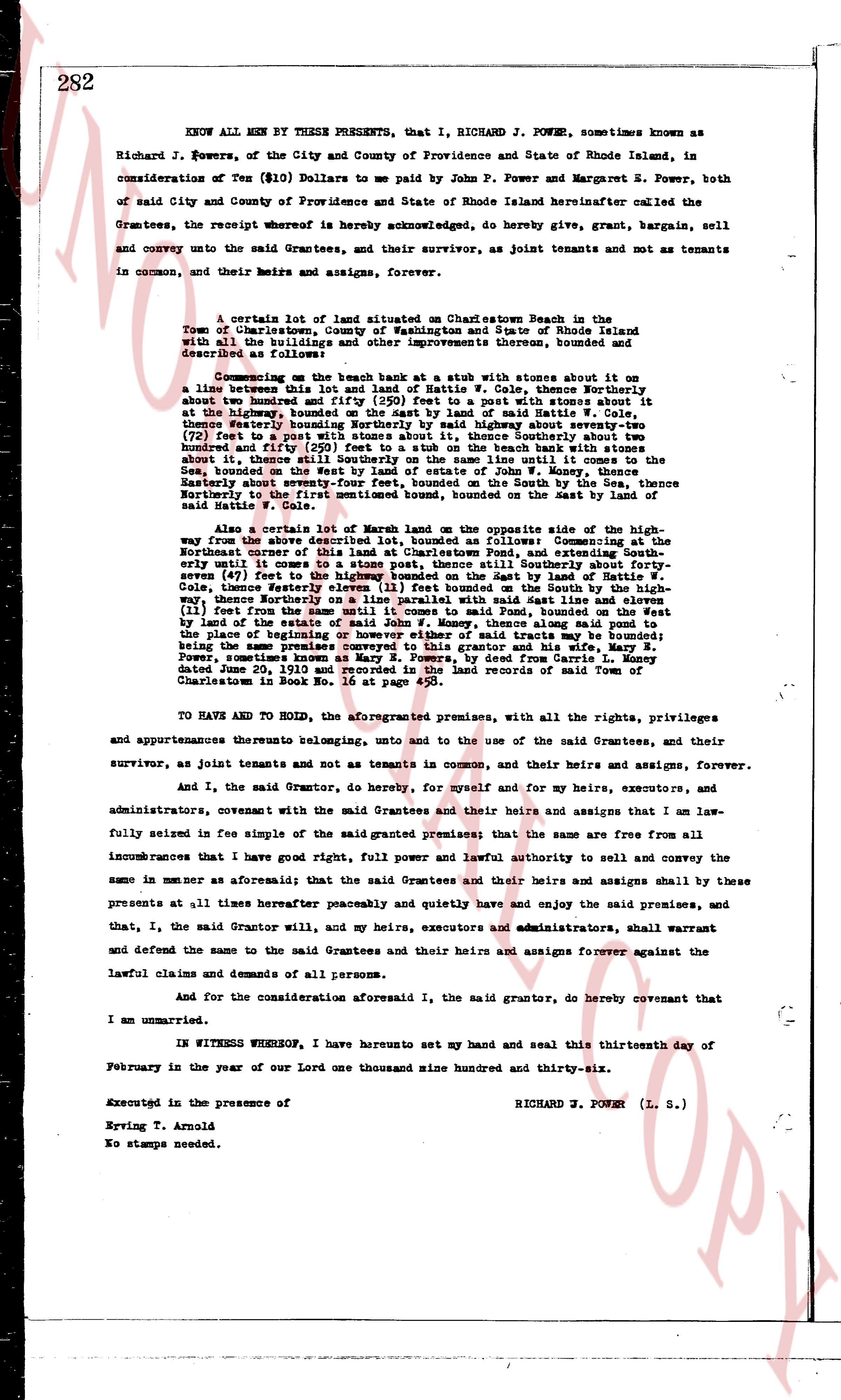
282
KNOW ALL MEN BY THESE PRESENTS, that I, RICHARD J. POWER, sometimes known as Richard J. Powers, of the City and County of Providence and State of Rhode Island, in consideration of Ten ($10) Dollars to me paid by John P. Powers and Margaret E. Power, both of said City and County of Providence and State of Rhode Island hereinafter called the Grantees, the receipt whereof is hereby acknowledged, do hereby give, grant, bargain, sell and convey unto the said Grantees, and their survivor, as joint tenants and not as tenants in common, and their heirs and assigns, forever.
A certain lot of land situated at Charlestown Beach in the Town of Charlestown, County of Washington and State of Rhode Island with all the buildings and other improvements thereon, bounded and described as follows:
Commencing on the beach bank at a stub with stones about it on a line between this lot and that of Lottie W. Cole, thence Northerly about the bounded and fifty (50) feet to a post with stones about it, thence Easterly about the highway, bounded on the East said highway about seventy-seven (77) feet to a post with stones about it, thence Southerly about two hundred and fifty (250) feet to a stub on the beach bank with stones about it, thence Westerly about the beach line until it comes to the Sea, bounded on the West by land of estate of John W. Mosey, thence Northerly about seventy-seven (77) feet on the South by the ocean, bounded on the Northerly to the first mentioned bound, bounded on the West by the mast of said Lottie W. Cole.
Also a certain lot of Marsh land on the opposite side of the highway from the above described lot, bounded as follows: Commencing at the Northwesterly corner of the said lot at a stone post, thence Southerly about forty-seven (47) feet to a post with stones about it, land by Lottie W. Cole, thence Easterly seventeen (17) feet bounded on the South by the highway, thence Northerly about forty-seven (47) feet with east line by Lottie W. Cole, thence Westerly eleven (11) feet from the same until it comes to said Pond, bounded on the West by land of the estate of John W. Mosey, thence along said Pond, bounded on the place of beginning or however either of said traits may be bounded; being a part of a larger lot of land conveyed to the grantor and his wife, Mrs. Power, sometimes known as Mary E. Power, by deed from Charles H. Power, dated June 20, 1919 and recorded in the land records of town of Charlestown in Book No. 18 at page 520.
TO HAVE AND TO HOLD, the aforementioned premises, with all the rights, privileges and appurtenances thereto belonging, unto and to the use of the said Grantees, and their survivor, as joint tenants and not as tenants in common, and their heirs and assigns, forever.
And I, the said Grantor, do hereby, for myself and for my heirs, executors, and administrators, covenant with the said Grantees and their heirs and assigns that I am lawfully seized in fee simple of the said granted premises; that the same are free from all incumbrances that I have good right, full power and lawful authority to sell and convey the same in manner as aforesaid; and that the said Grantees and their heirs and assigns shall by these presents at all times hereafter peaceably and quietly have and enjoy the said premises, and that, I, the said Grantor will, and my heirs, executors and administrators, shall warrant and defend the same to the said Grantees and their heirs and assigns forever against the lawful claims and demands of all persons.
And for the consideration aforesaid I, the said grantor, do hereby covenant that I am unmarried.
IN WITNESS WHEREOF, I have hereunto set my hand and seal this thirteenth day of February in the year of our Lord one thousand nine hundred and thirty-six.
Executed in the presence of RICHARD J. POWER (L. S.)
Erving T. Arnold
No stamps needed.
page 2 · read by Gemma vision
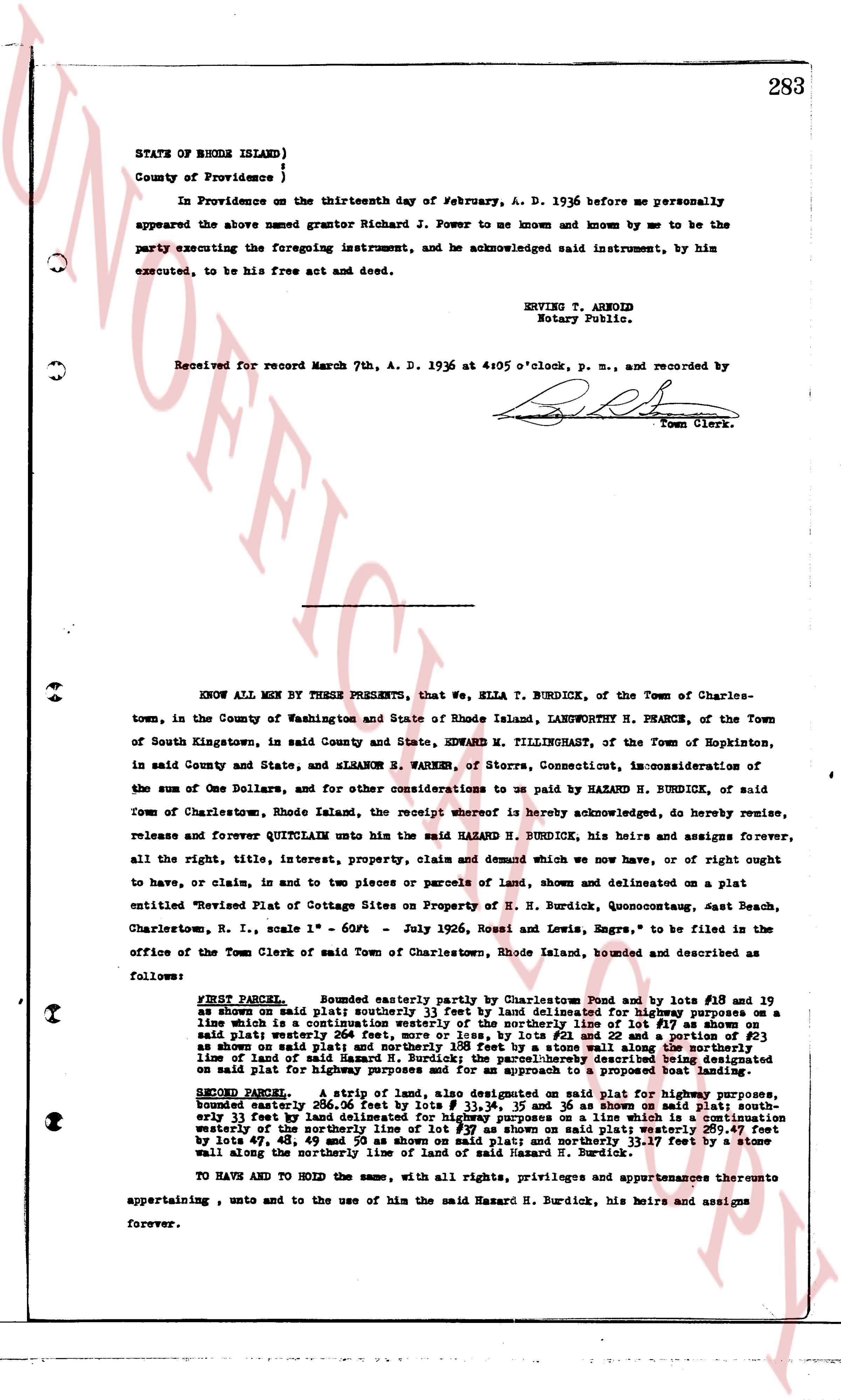
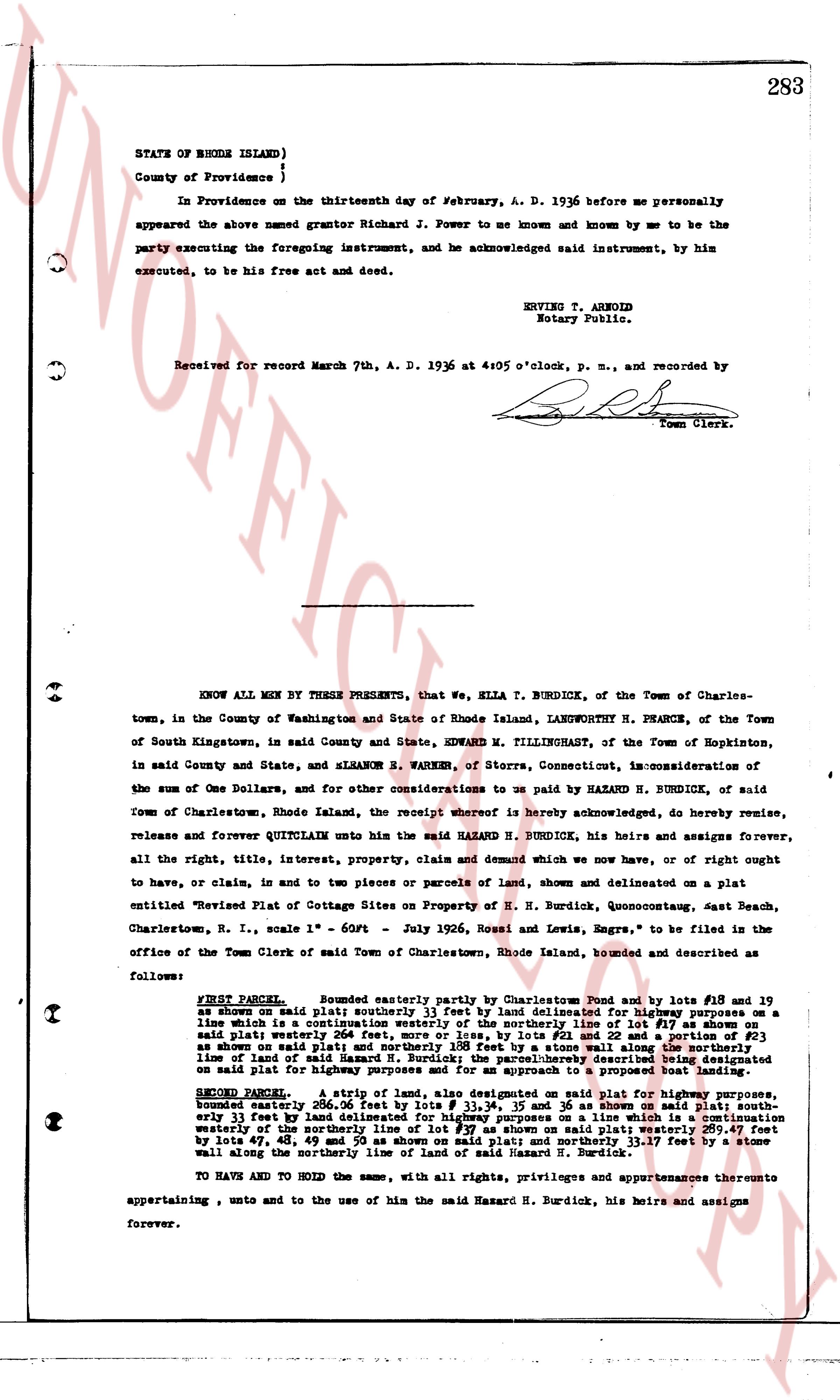
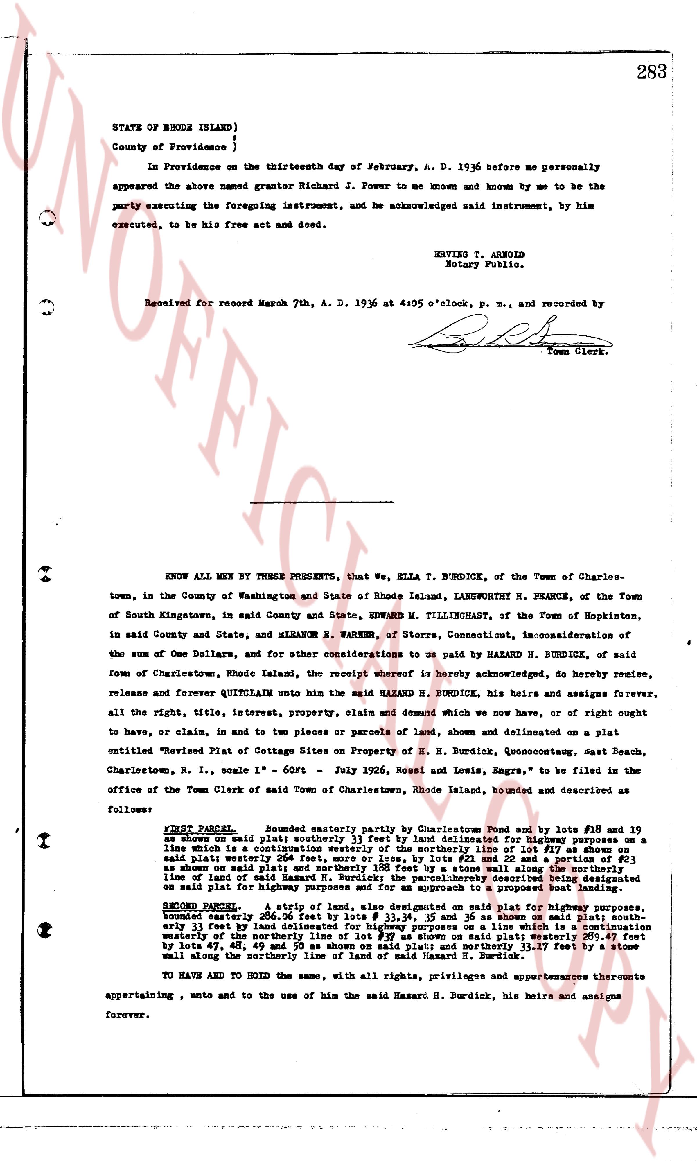
283
STATE OF RHODE ISLAND)
County of Providence )
In Providence on the thirteenth day of February, A. D. 1936 before me personally appeared the above named grantor Richard J. Power to me known and known by me to be the party executing the foregoing instrument, and he acknowledged said instrument, by him executed, to be his free act and deed.
ENRICE T. ARNOLD
Notary Public.
Received for record March 7th, A. D. 1936 at 4:05 o'clock, p. m., and recorded by [Signature]
Town Clerk.
----
KNOW ALL MEN BY THESE PRESENTS, that we, ELLA T. BURDICK, of the Town of Charlestown, in the County of Washington and State of Rhode Island, LANGWORTH H. PHARCE, of the Town of South Kingstown, in said County and State, EDWARD M. TILLINGHAST, of the Town of Hopkinton, in said County and State, and ELEANOR B. PARKER, of Storrs, Connecticut, in consideration of the sum of One Dollars, and for other considerations to us paid by HAZARD N. BURDICK, of said Town of Charlestown, Rhode Island, the receipt whereof is hereby acknowledged, do hereby remise, release and forever QUITCLAIM unto the said HAZARD N. BURDICK, his heirs and assigns forever, all the right, title, interest, property, claim and demand which we now have, or of right ought to have, or claim, in and to two pieces or parcels of land, shown and delineated on a plat entitled "Revised Plat of Cottage Sites on Property of H. N. Burdick, Quonocutaug, East Beach, Charlestown, R. I., scale 1" = 60ft - July 1926, Rossi and Lewis, Engrs." to be filed in the office of the Town Clerk of said Town of Charlestown, Rhode Island, bounded and described as follows:
FIRST PARCEL: Bounded easterly partly by Charlestown Pond and by lots #18 and 19 as shown on said plat; southerly 25.33 feet by land delineated for highway purposes on a line which is a continuation westerly of the southerly line of lot #18; westerly 111.17 feet by said plat; northerly 254 feet, more or less, by lots #12 and 22 and a portion of #23 of said shown plat; and easterly 111.17 feet by a stone wall along the northerly line of land of said Hazard N. Burdick; the parcel herein described is further bounded on the south by land paid for highway purposes and for an approach to a proposed boat landing.
SECOND PARCEL: A strip of land, also designated on said plat for highway purposes, bounded northerly 200.50 feet by lot #11; southerly 25.33 feet by land delineated for highway purposes on a line which is a continuation westerly of the southerly line of lot #18; easterly 111.17 feet by a stone wall and by lots 47, 48, 49 and 50 as shown on said plat; and northerly 33.17 feet by a stone wall along the northerly line of land of said Hazard N. Burdick.
TO HAVE AND TO HOLD the same, with all rights, privileges and appurtenances thereunto appertaining, unto and to the use of him the said Hazard N. Burdick, his heirs and assigns forever.
page 3 · read by Gemma vision
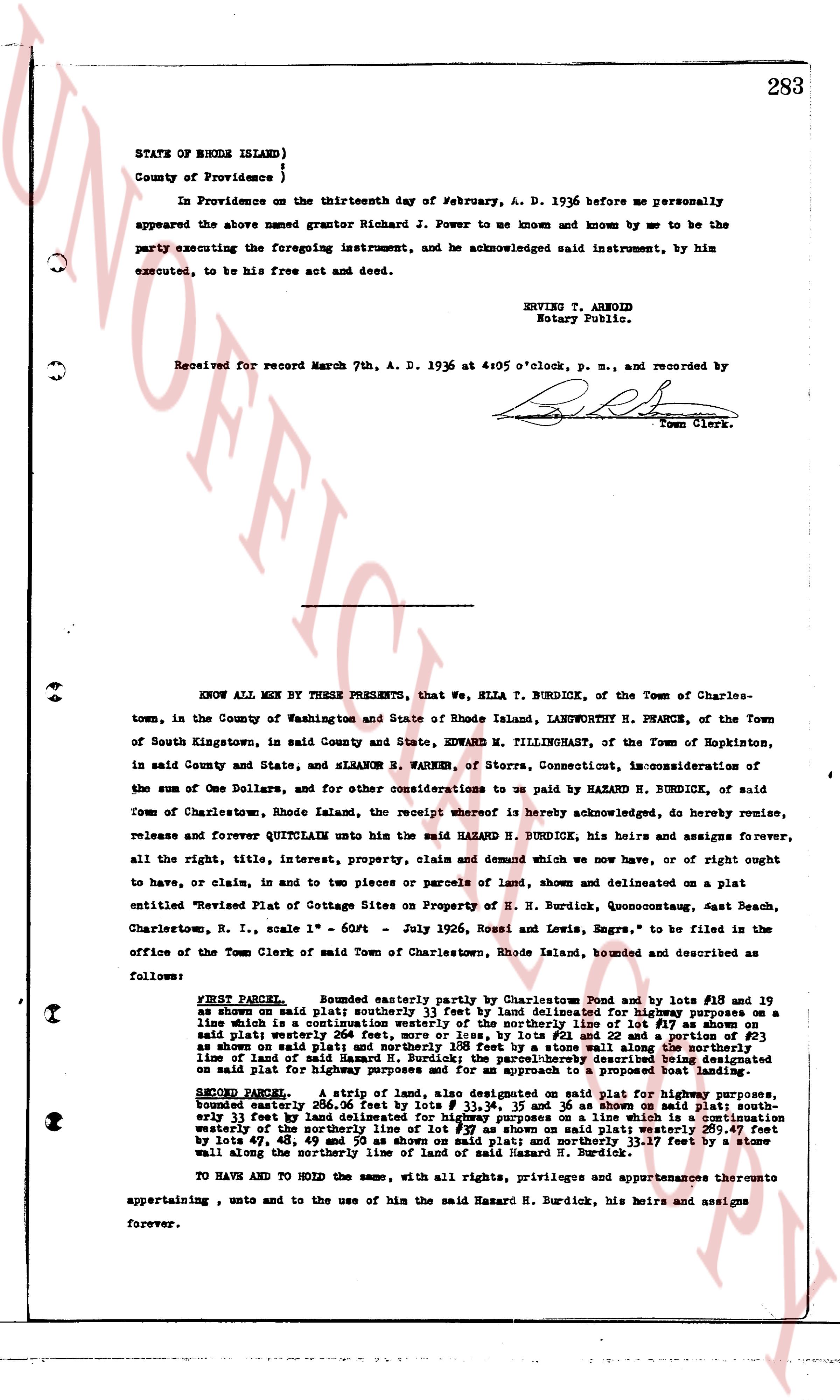
283
STATE OF RHODE ISLAND)
County of Providence )
In Providence on the thirteenth day of February, A. D. 1936 before me personally appeared the above named grantor Richard J. Power to me known and known by me to be the party executing the foregoing instrument, and he acknowledged said instrument, by him executed, to be his free act and deed.
ENRICE T. ARNOLD
Notary Public.
Received for record March 7th, A. D. 1936 at 4:05 o'clock, p. m., and recorded by
[Signature]
Town Clerk.
----
KNOW ALL MEN BY THESE PRESENTS, that we, ELLA T. BURDICK, of the Town of Charlestown, in the County of Washington and State of Rhode Island, LANGWORTH H. PHARCE, of the Town of South Kingstown, in said County and State, EDWARD M. TILLINGHAST, of the Town of Hopkinton, in said County and State, and ELEANOR B. PARKER, of Storrs, Connecticut, in consideration of the sum of One Dollars, and for other considerations to us paid by HAZARD N. BURDICK, of said Town of Charlestown, Rhode Island, the receipt whereof is hereby acknowledged, do hereby remise, release and forever QUITCLAIM unto the said HAZARD N. BURDICK, his heirs and assigns forever, all the right, title, interest, property, claim and demand which we now have, or of right ought to have, or claim, in and to two pieces or parcels of land, shown and delineated on a plat entitled "Revised Plat of Cottage Sites on Property of H. N. Burdick, Quonocutaug, East Beach, Charlestown, R. I., scale 1" = 60ft - July 1926, Rossi and Lewis, Engrs." to be filed in the office of the Town Clerk of said Town of Charlestown, Rhode Island, bounded and described as follows:
FIRST PARCEL: Bounded easterly partly by Charlestown Pond and by lots #18 and 19 as shown on said plat; southerly 25.33 feet by land delineated for highway purposes on a line which is a continuation westerly of the southerly line of lot #18; westerly 111.17 feet by said plat; northerly 254 feet, more or less, by lots #12 and 22 and a portion of #23 of said shown plat; and easterly 254 feet, more or less, by a stone wall along the northerly line of land of said Hazard N. Burdick; the parcel herein described is shown and delineated on said plat for highway purposes and for an approach to a proposed boat landing.
SECOND PARCEL: A strip of land, also designated on said plat for highway purposes, bounded and described as follows: Northerly 25.33 feet by land delineated for highway purposes, southerly 33.17 feet by land delineated for highway purposes on a line which is a continuation westerly of the southerly line of lot #18; easterly 111.17 feet by land delineated for highway purposes and by lots 47, 48, 49 and 50 as shown on said plat; and northerly 33.17 feet by a stone wall along the northerly line of land of said Hazard N. Burdick.
TO HAVE AND TO HOLD the same, with all rights, privileges and appurtenances thereunto appertaining, unto and to the use of him the said Hazard N. Burdick, his heirs and assigns forever.
page 4 · read by Gemma vision
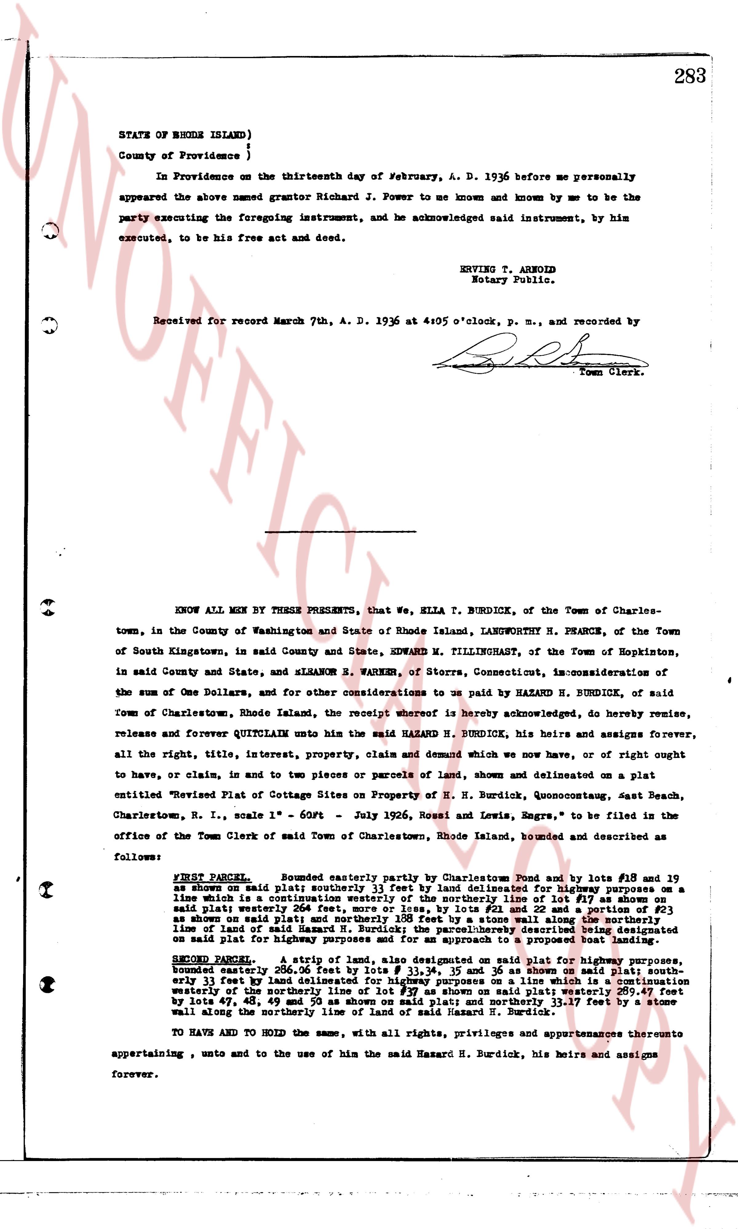
283
STATE OF RHODE ISLAND)
County of Providence )
In Providence on the thirteenth day of February, A. D. 1936 before me personally appeared the above named grantor Richard J. Power to me known and known by me to be the party executing the foregoing instrument, and he acknowledged said instrument, by him executed, to be his free act and deed.
ENRICE T. ARNOLD
Notary Public.
Received for record March 7th, A. D. 1936 at 4:05 o'clock, p. m., and recorded by [Signature]
Town Clerk.
----
KNOW ALL MEN BY THESE PRESENTS, that we, ELLA T. BURDICK, of the Town of Charlestown, in the County of Washington and State of Rhode Island, LANGWORTH H. PHARCE, of the Town of South Kingstown, in said County and State, EDWARD M. TILLINGHAST, of the Town of Hopkinton, in said County and State, and ELEANOR B. PARKER, of Storrs, Connecticut, in consideration of the sum of One Dollars, and for other considerations to us paid by HAZARD N. BURDICK, of said Town of Charlestown, Rhode Island, the receipt whereof is hereby acknowledged, do hereby remise, release and forever QUITCLAIM unto the said HAZARD N. BURDICK, his heirs and assigns forever, all the right, title, interest, property, claim and demand which we now have, or of right ought to have, or claim, in and to two pieces or parcels of land, shown and delineated on a plat entitled "Revised Plat of Cottage Sites on Property of H. N. Burdick, Quonsetcount, East Beach, Charlestown, R. I., scale 1" = 60ft - July 1926, Rossi and Lewis, Engrs." to be filed in the office of the Town Clerk of said Town of Charlestown, Rhode Island, bounded and described as follows:
FIRST PARCEL: Bounded easterly partly by Charlestown Pond and by lots #18 and 19 as shown on said plat; southerly 25 1/2 feet by land delineated for highway purposes on a line which is a continuation westerly of the southerly line of lot #18; westerly 113.17 feet by said plat; northerly 256 feet more or less, by lots #12 and 22 and a portion of #23 of said shown plat; and easterly 113.17 feet by a stone wall along the northerly line of land of said Hazard N. Burdick; the parcels described in this deed are delineated on said plat for highway purposes and for an approach to a proposed boat landing.
SECOND PARCEL: A strip of land, also designated on said plat for highway purposes, bounded northerly 200.50 feet by lot #11; southerly 25 1/2 feet by land delineated for highway purposes on a line which is a continuation westerly of the southerly line of lot #18; easterly 113.17 feet by lot #12; and westerly by lots 47, 48, 49 and 50 as shown on said plat; and northerly 113.17 feet by a stone wall along the northerly line of land of said Hazard N. Burdick.
TO HAVE AND TO HOLD the same, with all rights, privileges and appurtenances thereunto appertaining, unto and to the use of him the said Hazard N. Burdick, his heirs and assigns forever.
page 5 · read by Gemma vision
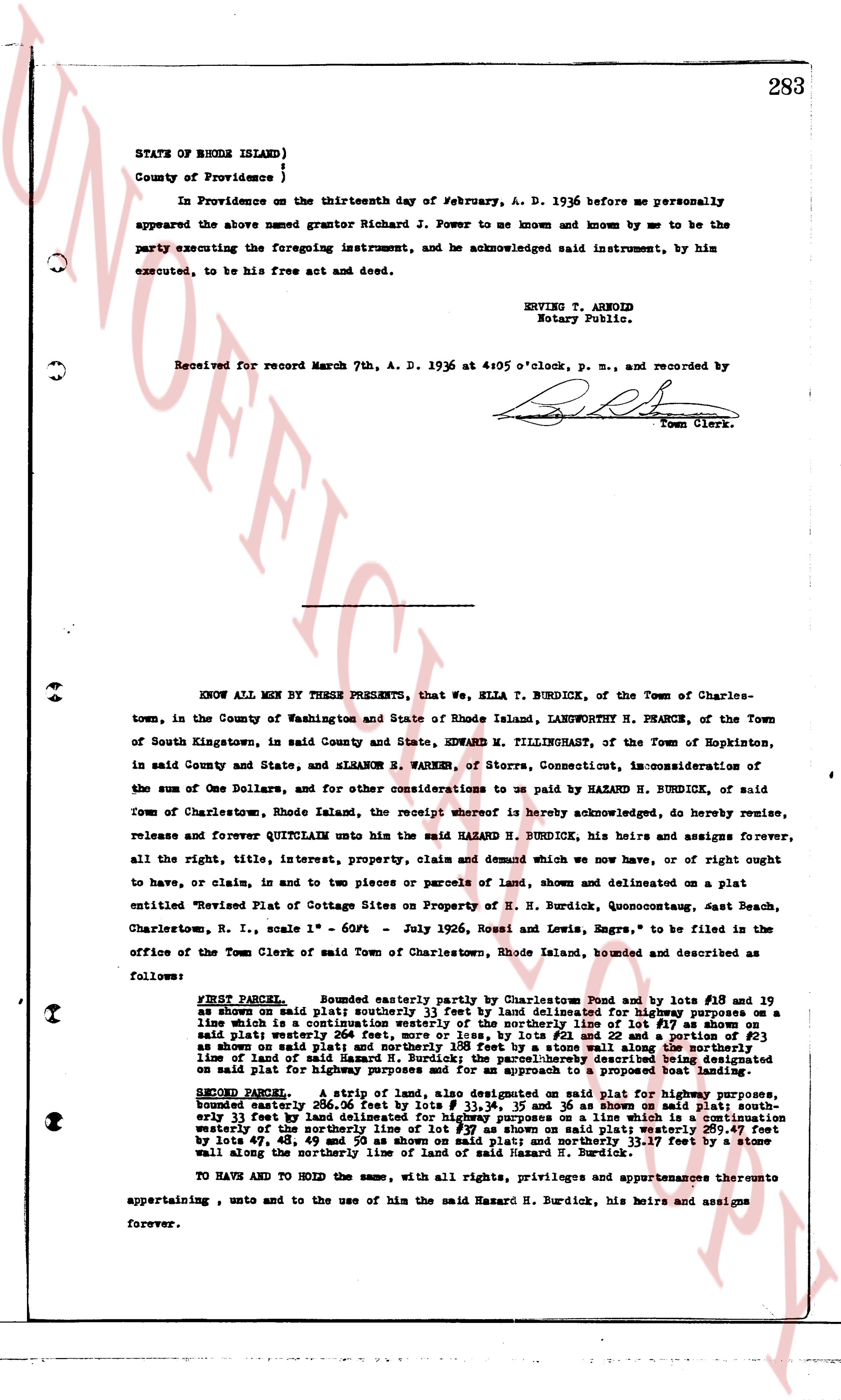
283
STATE OF RHODE ISLAND)
County of Providence )
In Providence on the thirteenth day of February, A. D. 1936 before me personally appeared the above named grantor Richard J. Power to me known and known by me to be the party executing the foregoing instrument, and he acknowledged said instrument, by him executed, to be his free act and deed.
ENRICE T. ARNOLD
Notary Public.
Received for record March 7th, A. D. 1936 at 4:05 o'clock, p. m., and recorded by [Signature]
Town Clerk.
----
KNOW ALL MEN BY THESE PRESENTS, that we, ELLA T. BURDICK, of the Town of Charlestown, in the County of Washington and State of Rhode Island, LANGWORTH H. PHARCE, of the Town of South Kingstown, in said County and State, EDWARD M. TILLINGHAST, of the Town of Hopkinton, in said County and State, and ELEANOR B. PARKER, of Storrs, Connecticut, in consideration of the sum of One Dollars, and for other considerations to us paid by HAZARD H. BURDICK, of said Town of Charlestown, Rhode Island, the receipt whereof is hereby acknowledged, do hereby remise, release and forever QUITCLAIM unto the said HAZARD H. BURDICK, his heirs and assigns forever, all the right, title, interest, property, claim and demand which we now have, or of right ought to have, or claim, in and to two pieces or parcels of land, shown and delineated on a plat entitled "Revised Plat of Cottage Sites on Property of H. H. Burdick, Quoconctaug, East Beach, Charlestown, R. I., scale 1" = 60ft - July 1926, Rossi and Lewis, Engrs." to be filed in the office of the Town Clerk of said Town of Charlestown, Rhode Island, bounded and described as follows:
FIRST PARCEL: Bounded easterly partly by Charlestown Pond and by lots #18 and 19 as shown on said plat; southerly 25 1/2 feet by land delineated for highway purposes on a line which is a continuation westerly of the southerly line of lot #18; westerly 110.11 feet by land on said plat; northerly 256 feet more or less, by lots #12 and 22 and a portion of #23 of said shown plat; and easterly 110.11 feet by a stone wall along the northerly line of land of said Hazard H. Burdick; the parcels described in the first and second parcels on said plat for highway purposes and for an approach to a proposed boat landing.
SECOND PARCEL: A strip of land, also designated on said plat for highway purposes, bounded northerly 200.50 feet by land delineated for highway purposes, bounded southerly 11 feet by land delineated for highway purposes on a line which is a continuation westerly of the southerly line of lot #18; easterly 11 feet by land on said plat; and westerly by lots 47, 48, 49 and 50 as shown on said plat; and northerly 13.17 feet by a stone wall along the northerly line of land of said Hazard H. Burdick.
TO HAVE AND TO HOLD the same, with all rights, privileges and appurtenances thereunto appertaining, unto and to the use of him the said Hazard H. Burdick, his heirs and assigns forever.
page 6 · read by Gemma vision
283
STATE OF RHODE ISLAND)
County of Providence )
In Providence on the thirteenth day of February, A. D. 1936 before me personally appeared the above named grantor Richard J. Power to me known and known by me to be the party executing the foregoing instrument, and he acknowledged said instrument, by him executed, to be his free act and deed.
ENRICE T. ARNOLD
Notary Public.
Received for record March 7th, A. D. 1936 at 4:05 o'clock, p. m., and recorded by
[Signature]
Town Clerk.
----
KNOW ALL MEN BY THESE PRESENTS, that we, ELLA T. BURDICK, of the Town of Charlestown, in the County of Washington and State of Rhode Island, LANGWORTH H. PHARCE, of the Town of South Kingstown, in said County and State, EDWARD M. TILLINGHAST, of the Town of Hopkinton, in said County and State, and ELEANOR B. PARKER, of Storrs, Connecticut, in consideration of the sum of One Dollars, and for other considerations to us paid by HAZARD N. BURDICK, of said Town of Charlestown, Rhode Island, the receipt whereof is hereby acknowledged, do hereby remise, release and forever QUITCLAIM unto the said HAZARD N. BURDICK, his heirs and assigns forever, all the right, title, interest, property, claim and demand which we now have, or of right ought to have, or claim, in and to two pieces or parcels of land, shown and delineated on a plat entitled "Revised Plat of Cottage Sites on Property of H. N. Burdick, Quoconctaug, East Beach, Charlestown, R. I., scale 1" = 60ft - July 1926, Rossi and Lewis, Engrs." to be filed in the office of the Town Clerk of said Town of Charlestown, Rhode Island, bounded and described as follows:
FIRST PARCEL: Bounded easterly partly by Charlestown Pond and by lots #18 and 19 as shown on said plat; southerly 25 1/2 feet by land delineated for highway purposes on a line which is a continuation westerly of the southerly line of lot #18; westerly 113.17 feet by a stone wall said plat; westerly 204 feet, more or less, by lot #21 and 22 and a portion of #23 as shown on said plat; and northerly 113.17 feet by a stone wall along the northerly line of land of said Hazard N. Burdick; the parcels described in this deed are delineated on said plat for highway purposes and for an approach to a proposed boat landing.
SECOND PARCEL: A strip of land, also designated on said plat for highway purposes, bounded northerly 200.50 feet by lot #20 as shown on said plat; easterly 33.17 feet and southerly 33 feet by land delineated for highway purposes on a line which is a continuation westerly of the southerly line of lot #18; and westerly 200.50 feet, more or less, by lots 47, 48, 49 and 50 as shown on said plat; and northerly 33.17 feet by a stone wall along the northerly line of said Hazard N. Burdick.
TO HAVE AND TO HOLD the same, with all rights, privileges and appurtenances thereunto appertaining, unto and to the use of hin of the said Hazard N. Burdick, his heirs and assigns forever.
page 7 · read by Gemma vision
283
STATE OF RHODE ISLAND)
County of Providence )
In Providence on the thirteenth day of February, A. D. 1936 before me personally appeared the above named grantor Richard J. Power to sue known and known by me to be the party executing the foregoing instrument, and he acknowledged said instrument, by him executed, to be his free act and deed.
ENRICE T. ARNOLD
Notary Public.
Received for record March 7th, A. D. 1936 at 4:05 o'clock, p. m., and recorded by [Signature]
Town Clerk.
----
KNOW ALL MEN BY THESE PRESENTS, that we, ELLA T. BURDICK, of the Town of Charlestown, in the County of Washington and State of Rhode Island, LANGWORTH H. PHARCE, of the Town of South Kingstown, in said County and State, EDWARD M. TILLINGHAST, of the Town of Hopkinton, in said County and State, and ELEANOR B. PARKER, of Storrs, Connecticut, in consideration of the sum of One Dollars, and for other considerations to us paid by HAZARD N. BURDICK, of said Town of Charlestown, Rhode Island, the receipt whereof is hereby acknowledged, do hereby remise, release and forever QUITCLAIM unto the said HAZARD N. BURDICK, his heirs and assigns forever, all the right, title, interest, property, claim and demand which we now have, or of right ought to have, or claim, in and to two pieces or parcels of land, shown and delineated on a plat entitled "Revised Plat of Cottage Sites on Property of H. N. Burdick, Quonocutaug, East Beach, Charlestown, R. I., scale 1" = 60ft - July 1926, Rossi and Lewis, Engrs." to be filed in the office of the Town Clerk of said Town of Charlestown, Rhode Island, bounded and described as follows:
FIRST PARCEL: Bounded easterly partly by Charlestown Pond and by lots #18 and 19 as shown on said plat; southerly 25 1/2 feet by land delineated for highway purposes on a line which is a continuation westerly of the southerly line of lot #18; westerly 113.17 feet by a stone wall said plat; westerly 204 feet, more or less, by lots #21 and 22 and a portion of #23 as shown on said plat; and northerly 113.17 feet by a stone wall along the northerly line of land of said Hazard N. Burdick; the parcels described in this instrument are delineated on said plat for highway purposes and for an approach to a proposed boat landing.
SECOND PARCEL: A strip of land, also designated on said plat for highway purposes, bounded westerly 200.50 feet by the southerly line of lot #20 as shown on said plat; easterly 11 feet by land delineated for highway purposes on a line which is a continuation westerly of the southerly line of lot #18; southerly 11 feet by land delineated on said plat by lots 47, 48, 49 and 50 as shown on said plat; and northerly 11.17 feet by a stone wall along the northerly line of said Hazard N. Burdick.
TO HAVE AND TO HOLD the same, with all rights, privileges and appurtenances thereunto appertaining, unto and to the use of him the said Hazard N. Burdick, his heirs and assigns forever.
page 8 · read by Gemma vision
283
STATE OF RHODE ISLAND)
County of Providence )
In Providence on the thirteenth day of February, A. D. 1936 before me personally appeared the above named grantor Richard J. Power to me known and known by me to be the party executing the foregoing instrument, and he acknowledged said instrument, by him executed, to be his free act and deed.
ENRICE T. ARNOLD
Notary Public.
Received for record March 7th, A. D. 1936 at 4:05 o'clock, p. m., and recorded by
[Signature]
Town Clerk.
----
KNOW ALL MEN BY THESE PRESENTS, that we, ELLA T. BURDICK, of the Town of Charlestown, in the County of Washington and State of Rhode Island, LANGWORTH H. PHARCE, of the Town of South Kingstown, in said County and State, EDWARD M. TILLINGHAST, of the Town of Hopkinton, in said County and State, and ELEANOR B. PARKER, of Storrs, Connecticut, in consideration of the sum of One Dollars, and for other considerations to us paid by HAZARD N. BURDICK, of said Town of Charlestown, Rhode Island, the receipt whereof is hereby acknowledged, do hereby remise, release and forever QUITCLAIM unto the said HAZARD N. BURDICK, his heirs and assigns forever, all the right, title, interest, property, claim and demand which we now have, or of right ought to have, or claim, in and to two pieces or parcels of land, shown and delineated on a plat entitled "Revised Plat of Cottage Sites on Property of H. N. Burdick, Quonocutaug, East Beach, Charlestown, R. I., scale 1" = 60ft - July 1926, Rossi and Lewis, Engrs." to be filed in the office of the Town Clerk of said Town of Charlestown, Rhode Island, bounded and described as follows:
FIRST PARCEL: Bounded easterly partly by Charlestown Pond and by lots #18 and 19 as shown on said plat; southerly 25.11 feet by land delineated for highway purposes on a line which is a continuation westerly of the southerly line of lot #18; westerly 111.11 feet by said plat; northerly 254 feet, more or less, by lots #12 and 22 and a portion of #23 of said shown plat; and easterly 111.11 feet by a stone wall along the northerly line of land of said Hazard N. Burdick; the parcel herein described is further bounded on said plat for highway purposes and for an approach to a proposed boat landing.
SECOND PARCEL: A strip of land, also designated on said plat for highway purposes, bounded and described as 20.00 feet wide, 25.11 feet on the southerly line, and easterly 33.17 feet by land delineated for highway purposes on a line which is a continuation westerly of the southerly line of lot #18; northerly 20.00 feet by a stone wall and by lots 47, 48, 49 and 50 as shown on said plat; and northerly 33.17 feet by a stone wall along the northerly line of land of said Hazard N. Burdick.
TO HAVE AND TO HOLD the same, with all rights, privileges and appurtenances thereunto appertaining, unto and to the use of him the said Hazard N. Burdick, his heirs and assigns forever.
page 9 · read by Gemma vision
283
STATE OF RHODE ISLAND)
County of Providence }
In Providence on the thirteenth day of February, A. D. 1936 before me personally
appeared the above named grantor Richard J. Power to me known and known by me to be the
party executing the foregoing instrument, and he acknowledged said instrument, by him
executed, to be his free act and deed.
ENRICE T. ARNOLD
Notary Public.
Received for record March 7th, A. D. 1936 at 4:05 o'clock, p. m., and recorded by
[Signature]
Town Clerk.
----
KNOW ALL MEN BY THESE PRESENTS, that we, ELLA T. BURDICK, of the Town of Charles-
town, in the County of Washington and State of Rhode Island, LANGWORTH H. PHARCE, of the Town
of South Kingstown, in said County and State, EDWARD M. TILLINGHAST, of the Town of Hopkinton,
in said County and State, and ELEANOR B. PARKER, of Storrs, Connecticut, in consideration of
the sum of One Dollars, and for other considerations to us paid by HAZARD N. BURDICK, of said
Town of Charlestown, Rhode Island, the receipt whereof is hereby acknowledged, do hereby remise,
release and forever QUITCLAIM unto the said HAZARD N. BURDICK, his heirs and assigns forever,
all the right, title, interest, property, claim and demand which we now have, or of right ought
to have, in, claim to, and in two pieces or parcels of land, shown and delineated on a plat
entitled "Revised Plat of Cottage Sites on Property of H. N. Burdick, Quoconctaug, East Beach,
Charlestown, R. I., scale 1" = 60ft - July 1926, Rossi and Lewis, Engrs." to be filed in the
office of the Town Clerk of said Town of Charlestown, Rhode Island, bounded and described as
follows:
FIRST PARCEL: Bounded easterly partly by Charlestown Pond and by lots #18 and 19
as shown on said plat; southerly 22.37 feet by land delineated for highway purposes on a
line which is a continuation westerly of the southerly line of lot #18 as shown on said plat;
said parcel westerly 204 feet, more or less, by lots #21 and 22 and a portion of #23
as shown on said plat; and northerly 204 feet by a stone wall along the northerly
line of land of said Hazard N. Burdick; the parcel herein described is shown and delineated
on said plat for highway purposes and for an approach to a proposed boat landing.
SECOND PARCEL: A strip of land, also designated on said plat for highway purposes,
bounded and described as 20.00 feet wide, 25.37 feet in length, and running generally
easterly 23 feet by land delineated for highway purposes on a line which is a continuation
westerly of the southerly line of lot #18 as shown on said plat; bounded easterly and west
by lots 47, 48, 49 and 50 as shown on said plat; and northerly 23.17 feet by a stone
wall along the northerly line of land of said Hazard N. Burdick.
TO HAVE AND TO HOLD the same, with all rights, privileges and appurtenances thereunto
appertaining, unto and to the use of him the said Hazard N. Burdick, his heirs and assigns
forever.
page 10 · read by Gemma vision
283
STATE OF RHODE ISLAND)
County of Providence )
In Providence on the thirteenth day of February, A. D. 1936 before me personally appeared the above named grantor Richard J. Power to me known and known by me to be the party executing the foregoing instrument, and he acknowledged said instrument, by him executed, to be his free act and deed.
ENRICE T. ARNOLD
Notary Public.
Received for record March 7th, A. D. 1936 at 4:05 o'clock, p. m., and recorded by
[Signature]
Town Clerk.
----
KNOW ALL MEN BY THESE PRESENTS, that we, ELLA T. BURDICK, of the Town of Charlestown, in the County of Washington and State of Rhode Island, LANGWORTH H. PHARCE, of the Town of South Kingstown, in said County and State, EDWARD M. TILLINGHAST, of the Town of Hopkinton, in said County and State, and ELEANOR B. PARKER, of Storrs, Connecticut, in consideration of the sum of One Dollars, and for other considerations to us paid by HAZARD N. BURDICK, of said Town of Charlestown, Rhode Island, the receipt whereof is hereby acknowledged, do hereby remise, release and forever QUITCLAIM unto the said HAZARD N. BURDICK, his heirs and assigns forever, all the right, title, interest, property, claim and demand which we now have, or of right ought to have, or claim, in and to two pieces or parcels of land, shown and delineated on a plat entitled "Revised Plat of Cottage Sites on Property of H. N. Burdick, Quoconctaug, East Beach, Charlestown, R. I., scale 1" = 60ft - July 1926, Rossi and Lewis, Engrs." to be filed in the office of the Town Clerk of said Town of Charlestown, Rhode Island, bounded and described as follows:
FIRST PARCEL: Bounded easterly partly by Charlestown Pond and by lots #18 and 19 as shown on said plat; southerly 25 1/2 feet by land delineated for highway purposes on a line which is a continuation westerly of the southerly line of lot #18; westerly 113.17 feet by a stone wall said plat; westerly 204 feet, more or less, by lots #21 and 22 and a portion of #23 as shown on said plat; and northerly 113.17 feet by a stone wall along the northerly line of land of said Hazard N. Burdick; the parcel herein described is shown and delineated on said plat for highway purposes and for an approach to a proposed boat landing.
SECOND PARCEL: A strip of land, also designated on said plat for highway purposes, bounded northerly 200.50 feet by lot #20 as shown on said plat; easterly 25 1/2 feet and southerly 113.17 feet by land delineated for highway purposes on a line which is a continuation westerly of the southerly line of lot #18; and westerly 200.50 feet, more or less, by lots 47, 48, 49 and 50 as shown on said plat; and northerly 113.17 feet by a stone wall along the northerly line of said Hazard N. Burdick.
TO HAVE AND TO HOLD the same, with all rights, privileges and appurtenances thereunto appertaining, unto and to the use of him the said Hazard N. Burdick, his heirs and assigns forever.
page 11 · read by Gemma vision
283
STATE OF RHODE ISLAND)
County of Providence )
In Providence on the thirteenth day of February, A. D. 1936 before me personally appeared the above named grantor Richard J. Power to me known and known by me to be the party executing the foregoing instrument, and he acknowledged said instrument, by him executed, to be his free act and deed.
ENRICE T. ARNOLD
Notary Public.
Received for record March 7th, A. D. 1936 at 4:05 o'clock, p. m., and recorded by [Signature]
Town Clerk.
----
KNOW ALL MEN BY THESE PRESENTS, that we, ELLA T. BURDICK, of the Town of Charlestown, in the County of Washington and State of Rhode Island, LANGWORTH H. PHARCE, of the Town of South Kingstown, in said County and State, EDWARD M. TILLINGHAST, of the Town of Hopkinton, in said County and State, and ELEANOR B. PARKER, of Storrs, Connecticut, in consideration of the sum of One Dollars, and for other considerations to us paid by HAZARD N. BURDICK, of said Town of Charlestown, Rhode Island, the receipt whereof is hereby acknowledged, do hereby remise, release and forever QUITCLAIM unto the said HAZARD N. BURDICK, his heirs and assigns forever, all the right, title, interest, property, claim and demand which we now have, or of right ought to have, or claim, in and to two pieces or parcels of land, shown and delineated on a plat entitled "Revised Plat of Cottage Sites on Property of H. N. Burdick, Quonocutcong, East Beach, Charlestown, R. I., scale 1" = 60ft - July 1926, Rossi and Lewis, Engrs." to be filed in the office of the Town Clerk of said Town of Charlestown, Rhode Island, bounded and described as follows:
FIRST PARCEL: Bounded easterly partly by Charlestown Pond and by lots #18 and 19 as shown on said plat; southerly 25.33 feet by land delineated for highway purposes on a line which is a continuation westerly of the southerly line of lot #18; westerly 111.11 feet by said plat; northerly 254 feet, more or less, by lots #12 and 22 and a portion of #23 of said shown plat; and easterly 111.11 feet by a stone wall along the northerly line of land of said Hazard N. Burdick; the parcel herein described is further bounded on the said plat for highway purposes and for an approach to a proposed boat landing.
SECOND PARCEL: A strip of land, also designated on said plat for highway purposes, bounded and described as 20.00 feet wide, 25.33 feet on the east, and 25.33 feet northerly 33.17 feet by land delineated for highway purposes on a line which is a continuation westerly of the southerly line of lot #18; northerly 111.11 feet by land delineated by lots 47, 48, 49 and 50 as shown on said plat; and northerly 33.17 feet by a stone wall along the northerly line of land of said Hazard N. Burdick.
TO HAVE AND TO HOLD the same, with all rights, privileges and appurtenances thereunto appertaining, unto and to the use of him the said Hazard N. Burdick, his heirs and assigns forever.
The page as recorded