The instrument's own words
page 1 · read by Gemma vision
191
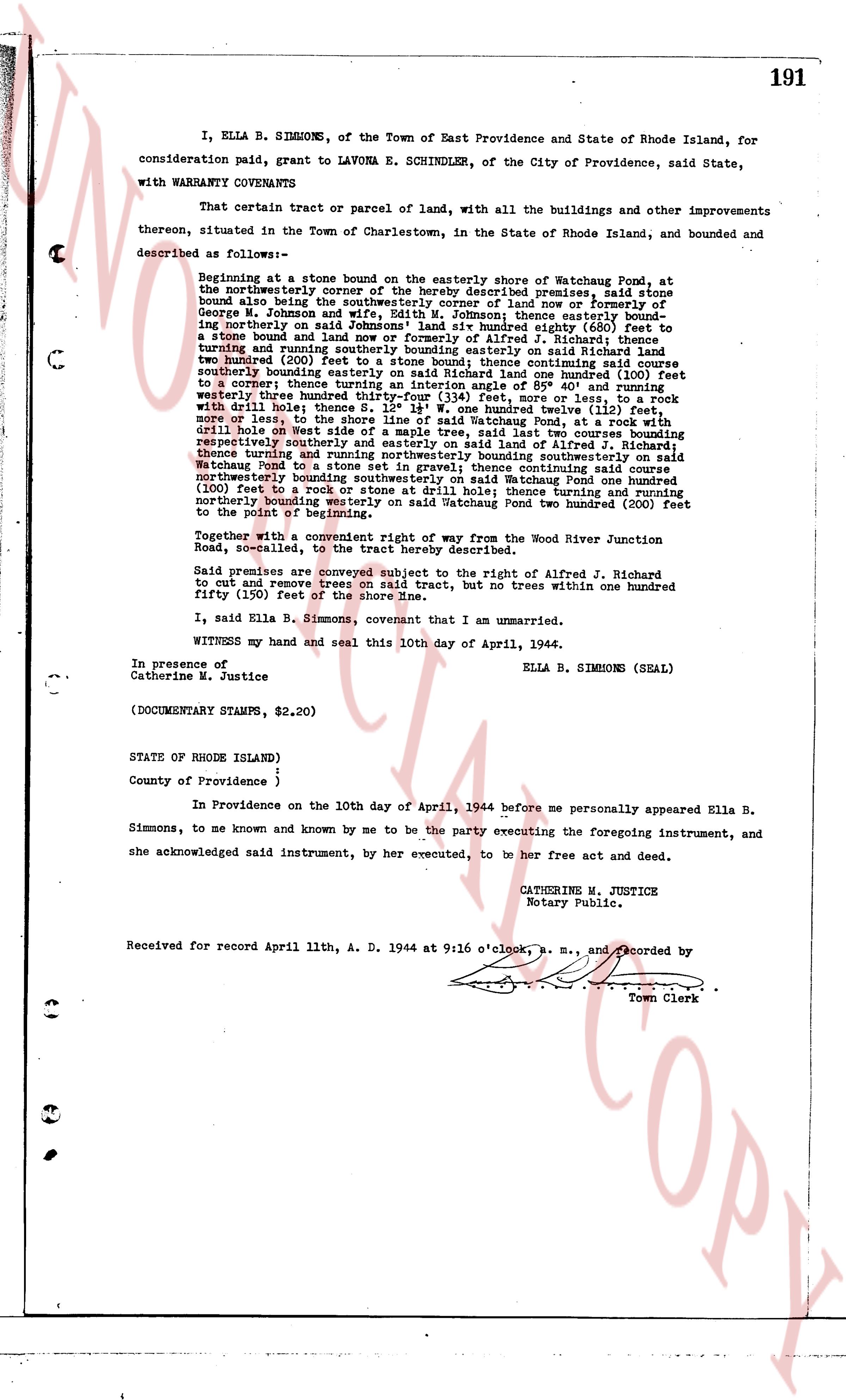
I, ELLA B. SIMMONS, of the Town of East Providence and State of Rhode Island, for consideration paid, grant to LAVONA E. SCHINDLER, of the City of Providence, said State, with WARRANTY COVENANTS
That certain tract or parcel of land, with all the buildings and other improvements thereon, situated in the Town of Charlestown, in the State of Rhode Island, and bounded and described as follows:
Beginning in a stone bound on the easterly shore of Watchstone Pond, at the northerly westernmost corner of the hereby described premises, said stone bound also being the southwesterly corner of land now or formerly of George W. Johnson and [?] W. Johnson thence easterly bound[?] northerly on said Johnson's land one hundred eighty (180) feet to a stone bound and line now or formerly of Alfred J. Richard; thence turning south easterly on said Richard's land seventy six (76) feet, and two hundred (200) feet to a stone bound; thence continuing said south easterly bound[?] south easterly on said Richard's land one hundred (100) feet to a corner; thence turning an interior angle of 85° 40' and turning north easterly three hundred (300) feet to a stone bound, one foot, more or less, to work with drill hole; thence S. 15° 14' W. one hundred twelve (112) feet, more or less, to the north westerly shore of Watchstone Pond, at a root with drill hole on west side of a maple tree, said last two courses bounding respectively northerly and north easterly on land of Alfred J. Richard; thence turning thence and turning northerly northwesterly bounding southwesterly on said Watchstone Pond to a stone bound, thence continuing on said course northerly bounding westerly on said Watchstone Pond one hundred (100) feet to a rock with a stone at drill hole; thence turning and turning northerly bounding westerly on said Watchstone Pond two hundred (200) feet to the point of beginning.
Together with a convenient right of way from the Wood River Junction Road, north-called, to the tract hereby described.
Said premises are conveyed subject to the right of Alfred J. Richard to cut and remove trees on said tract, but no trees within one hundred fifty (150) feet of the shore of Watchstone Pond.
I, said Ella B. Simmons, covenant that I am unmarried.
WITNESS my hand and my seal this 10th day of April, 1944.
ELLA B. SIMMONS (SEAL)
In presence of
Catherine M. Justice
(DOCUMENTARY STAMPS, $2.20)
STATE OF RHODE ISLAND)
)
County of Providence )
In Providence on the 10th day of April, 1944 before me personally appeared Ella B. Simmons, to me known and by me to be the party executing the foregoing instrument, and she acknowledged said instrument, by her executed, to be her free act and deed.
CATHERINE M. JUSTICE
Notary Public.
Received for record April 11th, A. D. 1944 at 9:16 o'clock, B. M., and recorded by
Town Clerk
The page as recorded