The instrument's own words
page 1 · read by Gemma vision
278
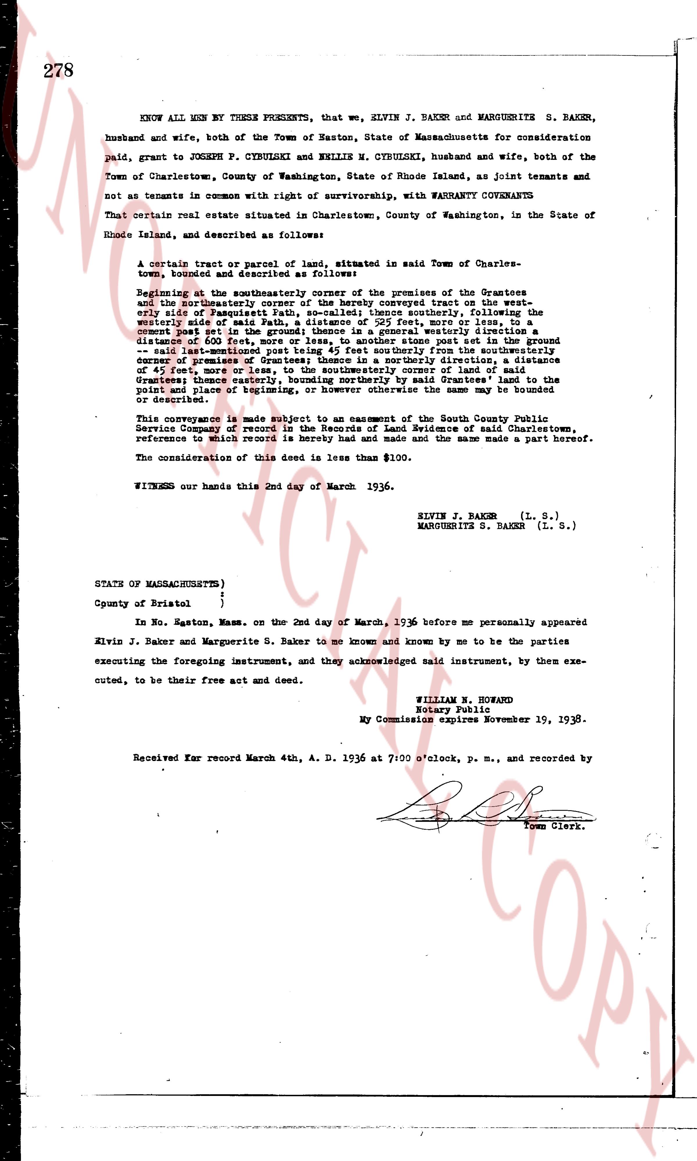
KNOW ALL MEN BY THESE PRESENTS, that we, ELVIN J. BAKER and MARGUERITE S. BAKER, husband and wife, both of the Town of Easton, State of Massachusetts consideraton for consideration paid, grant to JOSEPH P. CYBULSKI and NELLIE M. CYBULSKI, husband and wife, both of the Town of Charlestown, County of Washington, State of Rhode Island, as joint tenants and not as tenants in common with right of survivorship, with WARRANTY COVENANTS
That certain real estate situated in Charlestown, County of Washington, in the State of Rhode Island, and described as follows:
A certain tract or parcel of land, situated in said Town of Charlestown, bounded and described as follows:
Beginning at the southwesterner corner of the premises of the Grantees and the northwesterly corner of the hereby conveyed tract on the westerly side of Massachusetts Road, at a distance of 285 feet, more or less, to a corner said side of Massachusetts Road, thence northerly, following the westerly side of math Path, a distance of 285 feet, more or less, to a corner on a stone wall; thence east 310 feet, more or less, to a corner; thence westerly distance of 600 feet, more or less, to another stone post set in the ground; thence south 110 feet more or less, to a corner; thence further south to the boundary corner of premises of Grantees; thence in a northerly direction, a distance of 45 feet more or less to a corner; thence by a course of land of said Grantees; thence easterly, bounding northerly said Grantees' land to the point of place of beginning, or however otherwise the same may be bounded or described.
This conveyance is made subject to an easement of the South County Public Service Company of Record in the Records of Land Evidence of said Charlestown, reference to which record is hereby had and made and the same made a part hereof.
The consideration of this deed is less than $100.
WITNESS our hands this 2nd day of March 1936.
ELVIN J. BAKER (L. S.)
MARGUERITE S. BAKER (L. S.)
STATE OF MASSACHUSETTS)
County of Bristol )
In No. Easton, Mass., on the 2nd day of March 1936 before me personally appeared Elvin J. Baker and Marguerite S. Baker to me known and known by me to be the parties executing the foregoing instrument, and they acknowledged said instrument, by them executed, to be their free act and deed.
WILLIAM W. HOWARD
Notary Public
My Commission expires November 19, 1938.
Received for record March 4th, A. D. 1936 at 7:00 o'clock, p. m., and recorded by [?] Town Clerk.
The page as recorded