The instrument's own words
page 1 · read by Gemma vision
37
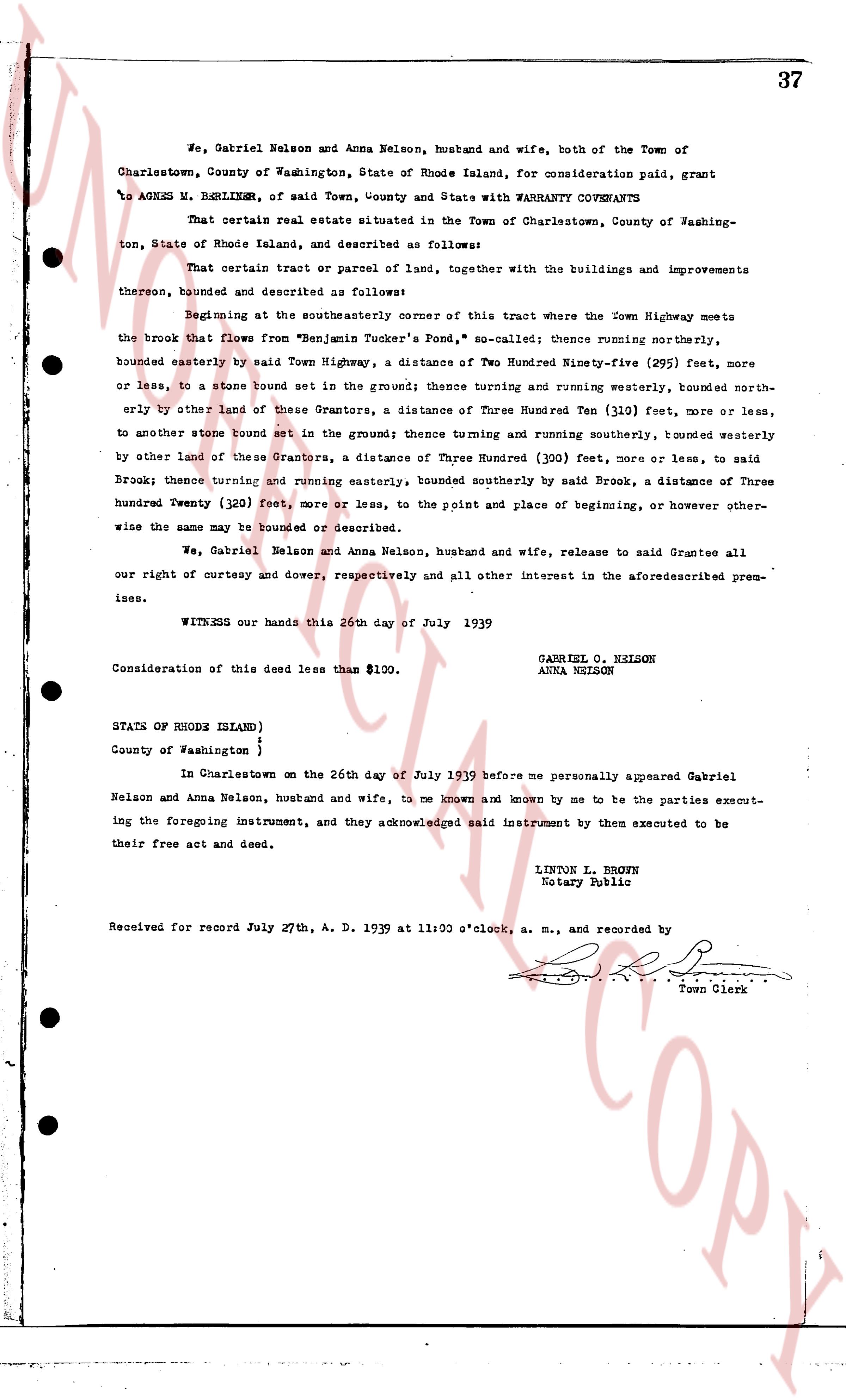
We, Gabriel Nelson and Anna Nelson, husband and wife, both of the Town of
Charlestown, County of Washington, State of Rhode Island, for consideration paid, grant
to AGNES M. BERLINER, of said Town, County and State with WARRANTY COVENANTS
That certain real estate situated in the Town of Charlestown, County of Washing-
ton, State of Rhode Island, and described as follows:
That certain tract or parcel of land, together with the buildings and improvements
thereon, bounded and described as follows:
Beginning at the southeasterly corner of this tract where the Town Highway meets
the brook that flows from "Benjamin Tucker's Pond," so called; thence running northerly,
bounded easterly by said Town Highway, a distance of Two Hundred Ninety-five (295) feet, more
or less, to a stone bound set in the ground; thence turning and running westerly, bounded north-
easterly by other land of these Grantors, a distance of Three Hundred Ten (310) feet, more or less,
to another stone bound set in the ground; thence turning and running southerly, bounded westerly
by other land of these Grantors, a distance of Three Hundred (300) feet, more or less, to said
Brook; thence turning and running easterly, bounded southerly by said Brook, a distance of Three
Hundred Twenty (320) feet, more or less, to the point and place of beginning, or however other-
wise the same may be bounded or described.
We, Gabriel Nelson and Anna Nelson, husband and wife, release to said Grantee all
our right of curtesy and dower, respectively and all other interest in the aforementioned prem-
ises.
WITNESS our hands this 26th day of July 1939
GABRIEL O. NELSON
ANNA NELSON
Consideration of this deed less than $100.
STATE OF RHODE ISLAND }
County of Washington }
In Charlestown on the 26th day of July 1939 before me personally appeared Gabriel
Nelson and Anna Nelson, husband and wife, to me known and known by me to be the parties execut-
ing the foregoing instrument, and they acknowledged said instrument by them executed to be
their free act and deed.
LINTON L. BROWN
Notary Public
Received for record July 27th, A. D. 1939 at 11:00 o'clock, a. m., and recorded by
[Signature]
Town Clerk
The page as recorded