The instrument's own words
page 1 · read by Gemma vision
33
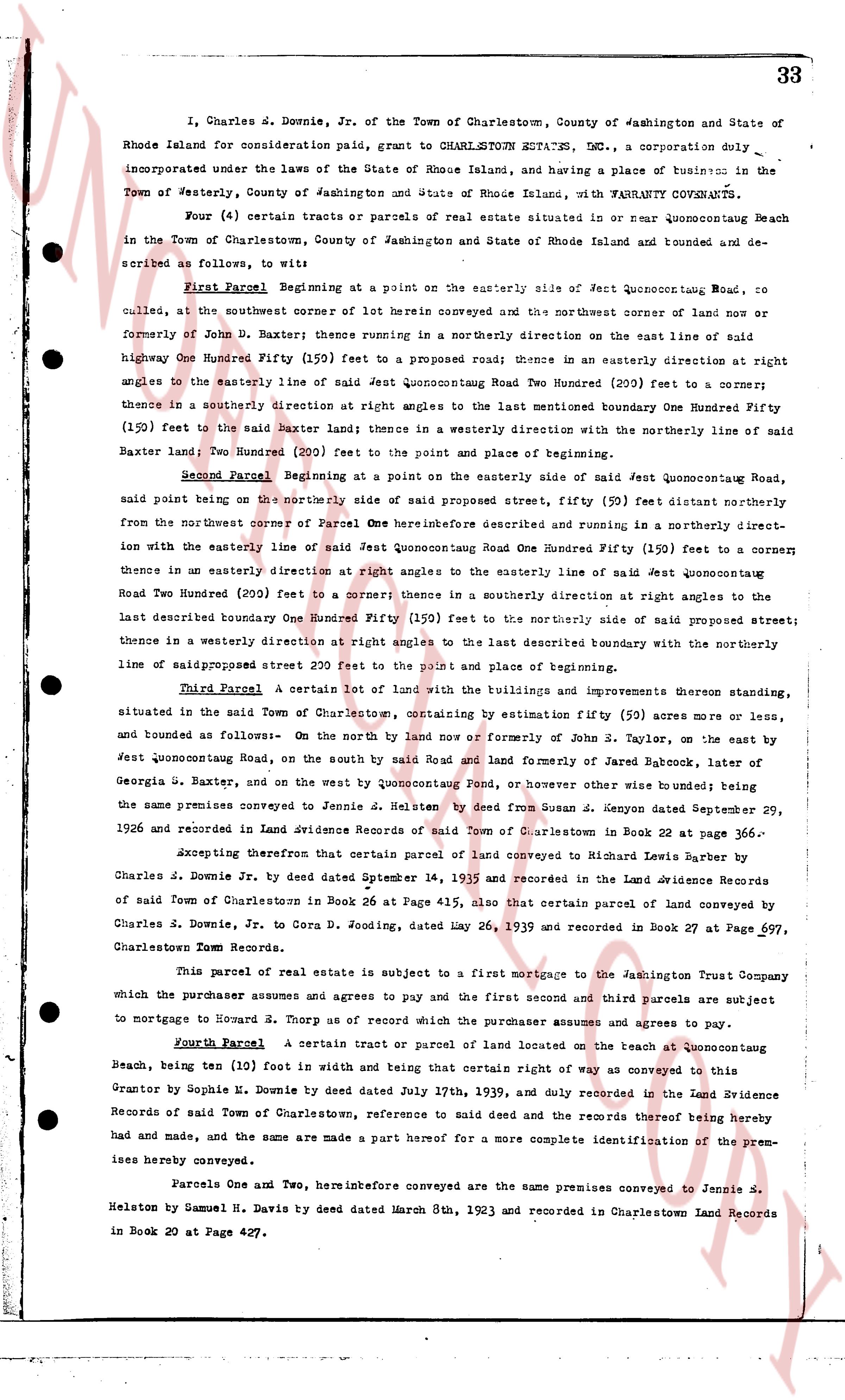
I, Charles E. Downie, Jr. of the Town of Charlestown, County of Washington and State of Rhode Island for consideration paid, grant to CHARLESTOWN ESTATES, INC., a corporation duly incorporated under the laws of the State of Rhode Island, and having a place of business in the Town of Westerly, County of Washington and State of Rhode Island, with WARRANTY COVENANTS.
Four (4) certain tracts or parcels of real estate situated in or near Quonocuttong Beach in the Town of Charlestown, County of Washington and State of Rhode Island and bounded and described as follows, to wit:
First Parcel Beginning at a point on the easterly side of Jest Quonocuttong Road, recalled, at the southwest corner of 101 herein conveyed and the northwest corner of land now or formerly of John D. Baxter thence running in a northerly direction on the east line of said highway One Hundred Fifty (150) feet to a proposed road; thence in an easterly direction at right angles to the easterly line of said Jest Quonocuttong Road Two Hundred (200) feet to a corner; thence in a southerly direction at right angles to the last mentioned boundary One Hundred Fifty (150) feet to the said Baxter land; thence in a westerly direction with the northerly line of said Baxter land; Two Hundred (200) feet to the point and place of beginning.
Second Parcel Beginning at a point on the easterly side of said Jest Quonocuttong Road, said point being on the northerly side of said proposed street, fifty (50) feet easterly distant from the northwest corner of Parcel One hereinbefore described and running in a northerly direction with the easterly line of said Jest Quonocuttong Road One Hundred Fifty (150) feet to a corner thence in an easterly direction at right angles to the easterly line of said Jest quonocuttong Road Two Hundred (200) feet to a corner thence in a southerly direction at right angles to the last described boundary One Hundred Fifty (150) feet to the northerly side of said proposed street; thence in a westerly direction at right angles to the last described boundary with the northerly line of saidproposed street 200 feet to the point and place of beginning.
Third Parcel A certain lot of land with the buildings and improvements thereon standing, situated in the said Town of Charlestown, containing by estimation fifty (50) acres more or less, and bounded as follows:- On the north by land now or formerly of John S. Taylor, on the east by Jest Quonocuttong Road, on the south by said Road and land formerly of Jared Babcock, later of Georgia S. Baxter, and on the west by Quonocuttong Pond, or however other wise bounded; said the same premises conveyed to Jennie S. Helston by deed from Susan K. Jenyon dated September 29, 1926 and recorded in Land Evidence Records of said Town of Charlestown in Book 22 at page 336.
Excepting therefrom that certain parcel of land conveyed to Richard Lewis Barber by Charles J. Downie Jr. by deed dated September 14, 1939 and recorded in the Land Evidence Records of said Town of Charlestown in Book 26 at Page 415, also that certain parcel of land conveyed by Charles J. Downie, Jr, to Cora G. Doding, dated May 26, 1939 and recorded in Book 27 at Page 697, Charlestown Town Records.
This parcel of real estate is subject to a first mortgage to the Jamestown Trust Company which the purchaser assumes and agrees to pay and the first mentioned and third parcels are subject to mortgage to Howard S. Thorp as of record which the purchaser assumes and agrees to pay.
Fourth Parcel A certain tract or parcel of land located on the beach at Quonocuttong Beach, being ten (10) feet in width and being that certain right of way as conveyed to this grantor by Sophie H. Downie by deed dated July 17th, 1939, and duly recorded in the Land Evidence Records of said Town of Charlestown, reference to said deed and the records thereof being hereby made and the same are made a part hereof for a more complete identification of the premises hereby conveyed.
Parcels One and Two, hereinbefore conveyed are the same premises conveyed to Jennie S. Helston by Samuel H. Davis by deed dated March 8th, 1923 and recorded in Charlestown Land Records in Book 20 at Page 427.
page 2 · read by Gemma vision
34
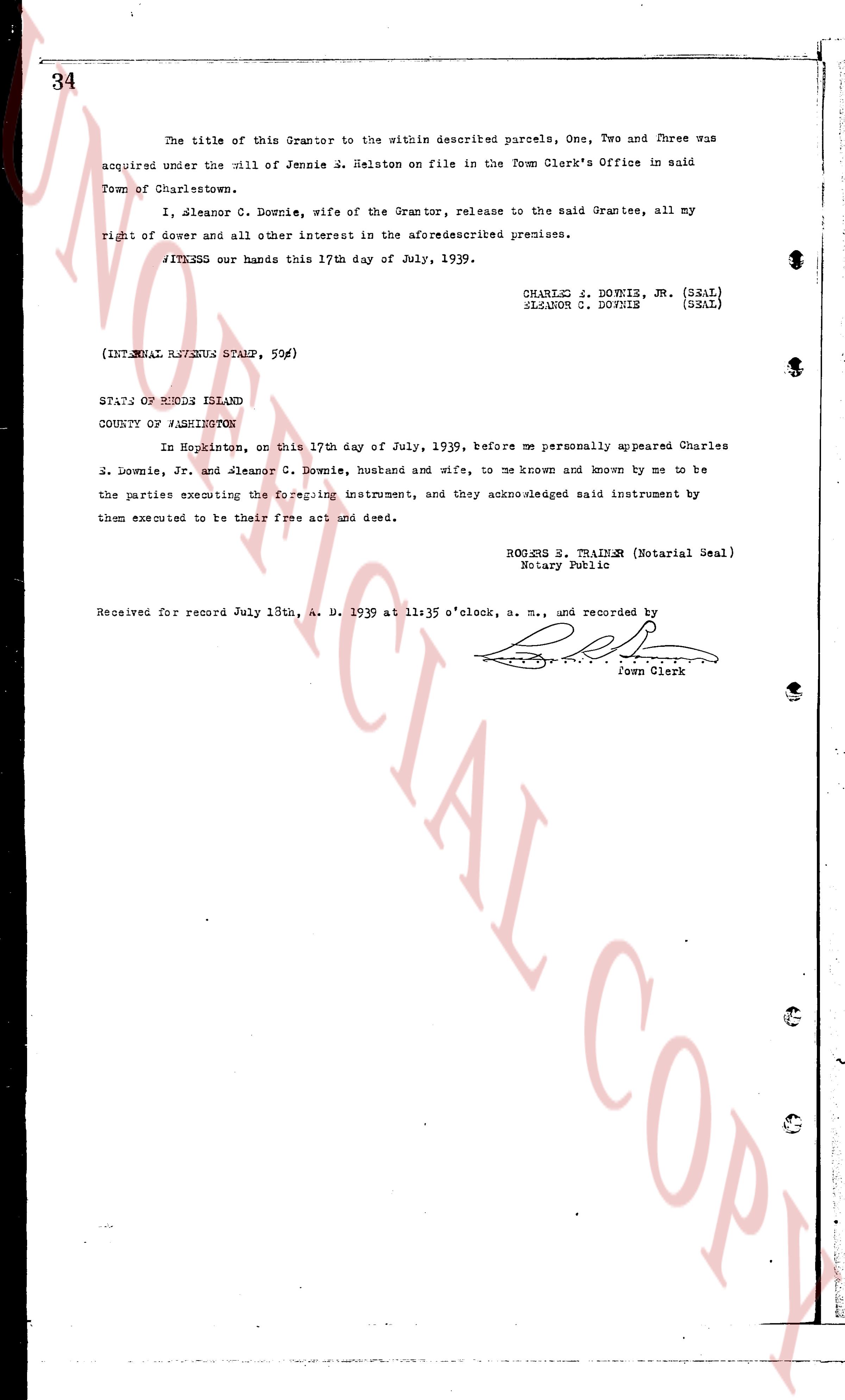
The title of this Grantor to the within described parcels, One, Two and Three was
acquired under the Will of Jennie S. Helston on file in the Town Clerk's Office in said
Town of Charlestown.
I, Eleanor C. Downie, wife of the Grantor, release to the said Grantee, all my
right of dower and all other interest in the aforementioned premises.
WITNESS our hands this 17th day of July, 1939.
CHARLES E. DOWNIE, JR. (SEAL)
ELEANOR C. DOWNIE (SEAL)
(INTERNAL REVENUE STAMP, 50¢)
STATE OF RHODE ISLAND
COUNTY OF WASHINGTON
In Hopkinton, on this 17th day of July, 1939, before me personally appeared Charles
E. Downie, Jr. and Eleanor C. Downie, husband and wife, to me known and known by me to be
the parties executing the foregoing instrument, and they acknowledged said instrument by
them executed to be their free act and deed.
ROBERT E. TRAINEN (Notarial Seal)
Notary Public
Received for record July 18th, A. D. 1939 at 11:35 o'clock, a. m., and recorded by [signature]
Town Clerk
The page as recorded