The instrument's own words
page 1 · read by Gemma vision
49
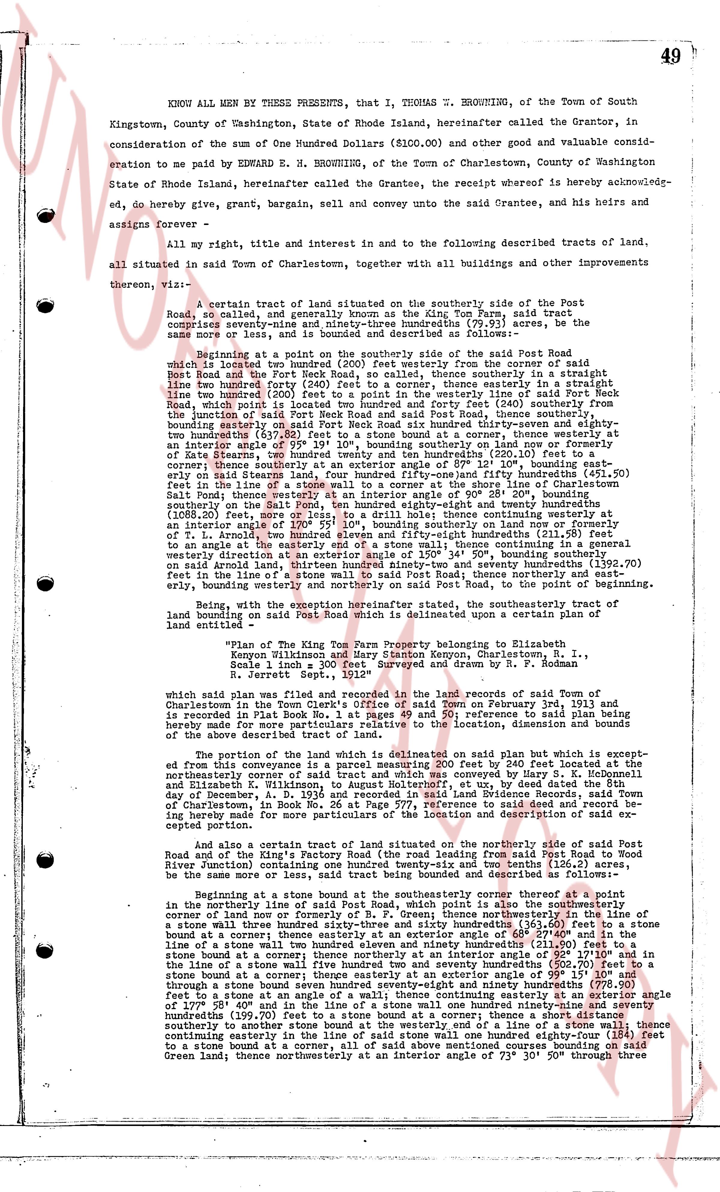
KNOW ALL MEN BY THESE PRESENTS, that I, THOMAS E. BROWNING, of the Town of South
Kingstown, County of Washington, State of Rhode Island, hereinafter called the Grantor, in
consideration of the sum of One Hundred Dollars ($100.00) and other good and valuable consid-
eration to me paid by EDWARD E. H. BROWNING, of the Town of Charlestown, County of Washington
State of Rhode Island, hereinafter called the Grantee, the receipt whereof is hereby acknowledged,
do, hereby give, grant, bargain, sell and convey unto the said Grantee, and his heirs and
assigns forever -
All my right, title and interest in and to the following described tracts of land,
all situated in said Town of Charlestown, together with all buildings and other improvements
thereon, viz: -
A certain tract of land situated on the southerly side of the Post
Road, so called, and generally known as the King Tom Farm, said tract
comprising approximately one hundred and seventy-one and seventy-five hundredths (171.75) acres, be the
same more or less, and is bounded and described as follows: -
Beginning at a point on the southerly side of the southerly side of the Post
Road which is located two hundred (200) feet westerly from the corner of said
Post Road and the Fort Green Road, thence southerly line of said Post Road, thence
line two hundred forty (240) feet to a corner, thence easterly in a straight line to
line two hundred (200) feet, thence northerly line of said Post Road, thence easterly line of
Post Road, which point is located two hundred and forty feet (240) southerly from the
junction of said Post Road and said Fort Green Road, thence southerly line of said Fort
Green Road, bounding easterly on said Post Neck Road six hundred thirty-three and seventy
two hundredths (633.72) feet, thence southerly line of said Fort Green Road, thence southerly to
an interior angle of 05° 19' 10" bounding southerly on said Post Neck Road now or formerly
of State Farm, on the southerly side of said Post Neck Road (280.10) feet, thence southerly to
corner; thence southerly at an exterior angle of 87° 12' 10" bounding easterly,
said tract running southerly line of said Fort Green Road, two hundred seventy-four hundredths
(274.00) feet in the line of a stone wall to a corner at the shore line of the Charlestown Shore
(Salt Pond), thence westerly at an interior angle of 90° 50' 20" bounding westerly,
(1088.20) feet, more or less, to a drift line; thence continuing westerly at an
interior angle of 101° 10' 20" bounding westerly, one thousand eighty-two and twenty hundredths
(1082.20) feet, more or less, to a drift line; thence continuing westerly at an
interior angle of 111° 10' 20" bounding westerly, on land now or formerly of
T. L. Arnold, two hundred eleven and eighty-five hundredths (211.85) feet, then steer
to an angle of the interior angle of 111° 10' 20" bounding westerly, then continuing
westerly direction at exterior angle 105° 34' 50", bounding southerly on
said erode land running southerly line of said Post Road, twenty-seven hundredths (200.70)
feet in the line of a stone wall to said Post Road, thence northerly and east-
erly, bounding easterly on said Post Road, to the point of beginning.
Referred to, with the exception hereinafter stated, the southeasterly tract of
land bounding on said Post Road which is delineated upon a plan certified of
entirety as -
"Plan of The King Tom Farm Property belonging to Elizabeth
Kenyon Wilkinson and Harry Stanton Kenyon, Charlestown, R. I.,
Scale 1 inch = 300 feet. Surveyed and drawn by R. F. Rodman in
Jerrett, Sept. 1921"
which said plan was filed and recorded in the land records of said Town of
Charlestown in the Town Clerk's Office of said Town on February 3rd, 1913 and
is recorded in Plat Book No. 60, page 11. Said reference to said plan being
hereby made for more particulars relative to the location, dimension and bounds
of the above described tract.
The portion of the land which is delineated on said plan but which is except-
ed from this conveyance is a parcel measuring 200 feet by 240 feet located at the
northerly corner of said tract and is now or formerly of Elizabeth
and Elizabeth K. Wilkinson, to August Holtermann, et ux., by deed dated the 8th
day of December, 1934, recorded in the Land Evidence of the Town of Charlestown, in
Book No. 26 at Page 577, reference to said deed and record being re-
hereby made for more particulars of the location and description of said except-
ed portion.
And also a certain tract of land situated on the northerly side of said Post
Road and of the King's Factory Road (the road leading from said Post Road to West
Green vicinity) containing approximately one hundred and ten and twenty hundredths (110.20)
be the same more or less, is said tract being bounded and described as follows: -
Beginning at a point bound at the southeasterly corner thereof at a point
in the northerly line of said Post Road, thence northerly in the line of a
corner of land now or formerly of P. R. Green, thence northerly in the line of a
stone wall three hundred seventy-four and sixty-seven hundredths (374.67) feet to the
line of a stone wall at a corner; thence easterly at an exterior angle of 68° 27' 40" in the
line of a stone wall three hundred forty-four and seventy-two hundredths (344.72) feet to a
stone bound at a corner; thence northerly at an interior angle of 92° 27' 10" and in
the line of a stone wall three hundred forty-four and seventy-two hundredths (344.72) feet to a
stone bound at a corner; thence easterly at an exterior angle of 99° 15' 10" and
through a stone bound at a corner, thence easterly seventy-four hundredths (74.00) feet
to a stone bound at a corner, thence continuing easterly at an exterior angle of
107° 20' 20" and in the line of a stone wall one hundred ninety-seven and seventy
hundredths (197.70) feet to a stone bound at a corner; thence a short distance
southerly to another stone bound at the westerly end of a line of a stone wall; thence
continuing easterly in the line of a stone wall one hundred ninety-seven and seventy feet
to a stone bound at a corner, all of said above mentioned bounds coursing on said
Green land; thence northerly at an interior angle of 73° 30' 50" through three
page 2 · read by Gemma vision
51
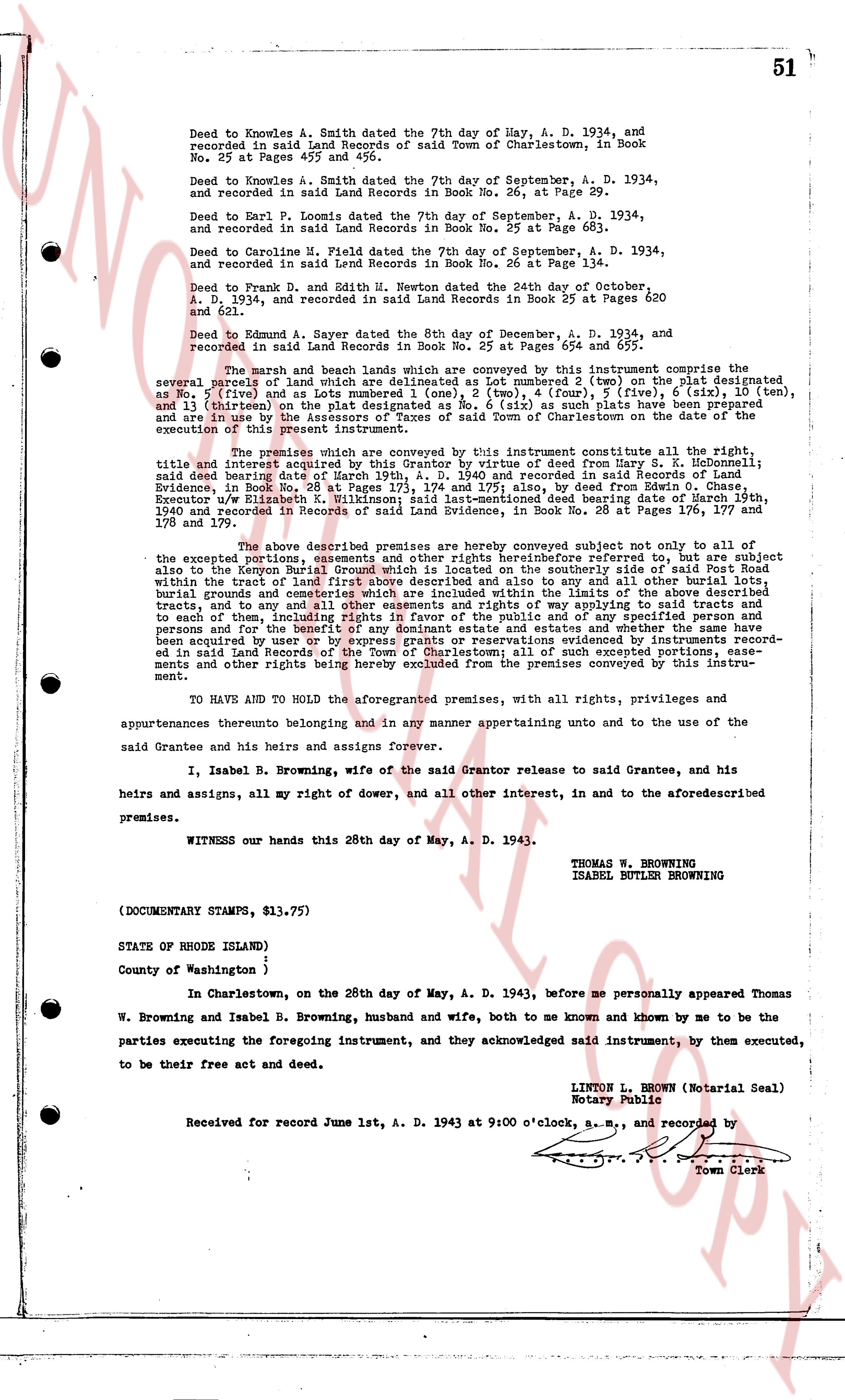
Deed to Knowles A. Smith dated the 29th day of May, A. D. 1934, and recorded in said Land Records of said Town of Charlestown, in Book No. 25 at Pages 457 and 458.
Deed to Knowles A. Smith dated the 7th day of September, A. D. 1934, and recorded in said Land Records in Book No. 26, at Page 29.
Deed to Earl P. Loomis dated the 7th day of September, A. D. 1934, and recorded in said Land Records in Book No. 25 at Page 683.
Deed to Caroline M. Field dated the 7th day of September, A. D. 1934, and recorded in said Land Records in Book No. 25 at Page 134.
Deed to Frank D. and Edith H. Newton dated the 24th day of October, A. D. 1934, and recorded in said Land Records in Book 25 at Pages 620 and 621.
Deed to Edmund A. Sayner dated the 8th day of December, A. D. 1934, and recorded in said Land Records in Book No. 25 at Pages 654 and 655.
The march and the beach lands which are conveyed by this instrument comprise the several parcels of marsh and land which are delineated as Lot number 2 (one), (ten) on the plat designated as No. 1 (first) and as Lot numbers 5 (five), 7 (seven), 8 (eight), 10 (ten), and 13 (thirteen) on the plat designated as No. 6 (six) as such plats have been prepared and are here by incorporated into and made a part of this deed and the grantee is hereby cautioned of the execution of this present instrument.
The premises which are conveyed by this instrument constitute all the right, title and interest acquired by the Grantor by virtue of Deed from Harry S. R. Heckmondt; said deed bearing Date of March 19th, A. D. 1940 and recorded in said Records of Land Evidence, in Book No. 26 at Page 111, and also by virtue of Deed from the Executor w/ Executor ELizabeth K. Wilkinson; said last-mentioned deed bearing date of March 19th, 1940 and recorded in Records of said Land Evidence, in Book No. 26 at Pages 176 and 177.
The above described premises are conveyed subject not only to the reservations and the excepted portion, easements and other rights heretofore referred to, but also to a subject also to the Kenyon Burial Ground which is located on the southerly side of said Post Road within the tract of land first above described and also to any and all other burial grounds within the tract of land first above described and also to all rights of way over the above described tracts, and to any and all other easements and rights of way applying to said tracts and to each of them, including all rights of way for the purpose of way to the beach for all persons and for the benefit of any dominant estate and estates and whether the same have been acquired by use or by grant, and also to all other reservations and exceptions mentioned and recorded in said Land Records of the Town of Charlestown; all of such excepted portions, easements and other rights being hereby excluded from the premises conveyed by this instrument.
TO HAVE AND TO HOLD the aforesaid premises, with all its rights, privileges and appurtenances thereunto belonging and in any manner appertaining untunto and to the use of the said Grantee and his heirs and assigns Forever.
I, Isabel B. Browning, wife of the said Grantor release to said Grantee, and his heirs and assigns, all my right of dower, and all other interest, in and to the aforementioned premises.
WITNESS our hands this 26th day of May, A. D. 1943.
THOMAS W. BROWNING
ISABEL BUTLER BROWNING
(DOCUMENTARY STAMPS, $13.75)
STATE OF RHODE ISLAND)
County of Washington )
In Charlestown, on the 26th day of May, A. D. 1943, before me personally appeared Thomas W. Browning and Isabel B. Browning, husband and wife, both to me known and known by me to be the parties executing the foregoing instrument, and they acknowledged said instrument; by them executed, to be for their free benefit and act deed.
LINTON L. BROWN (Notarial Seal)
Notary Public
Received for record June 1st, A. D. 1943 at 9:00 o'clock, a. m., and recorded by [?] Town Clerk
The page as recorded