The instrument's own words
page 1 · read by Gemma vision
394
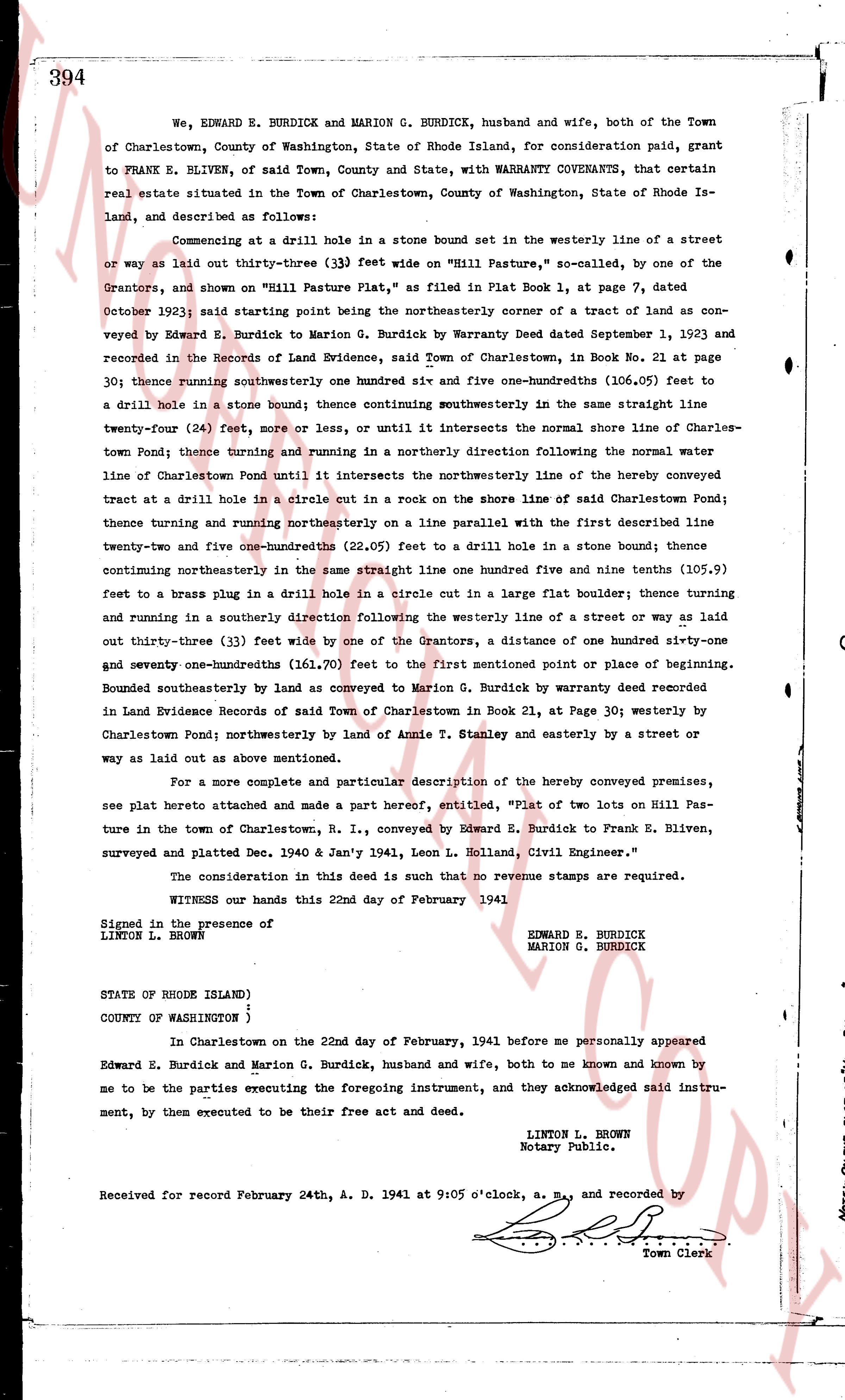
We, EDWARD E. BURDICK and MARION G. BURDICK, husband and wife, both of the Town of Charlestown, County of Washington, State of Rhode Island, for consideration paid, grant to FRANK E. BLIVEN, of said Town, County and State, with WARRANTY COVENANTS, that certain real estate situated in the Town of Charlestown, County of Washington, State of Rhode Island, land, and described as follows:
Commencing at a drill hole in a stone bound set in the westerly line of a street or way as laid out thirty-three (33) feet wide on "Hill Pasture," so called, by one of the Grantors, and shown on "Hill Pasture Plat," as filed in Plat Book 1, at page 7, dated October 1932; said starting point being the northeasterly corner of a tract of land as conveyed Edward E. Burdick to Marion G. Burdick by Warranty Deed dated September 1, 1923 and recorded in the Records of Land Evidence, said Town of Charlestown, in Book No. 21 at page 30; thence running southwesternly one hundred six and five one-hundredths (106.05) feet to a drill hole in a stone bound; thence continuing southwesternly in the same straight line twenty-four (24) feet, more or less, or until it intersects the normal shore line of Charlestown Pond; thence turning and running in a northerly direction following the normal water line of Charlestown Pond until it intersects the northeasterly line of the hereby conveyed tract at a drill hole in a circle cut in a rock on the shore line of said Charlestown Pond; thence turning and running northeasterly on a line parallel with the first described line twenty-one and five one-hundredths (22.05) feet to a drill hole in a stone bound; thence continuing northeasterly in the same straight line one hundred five and nine tenths (105.9) feet to a brass plug in a drill hole in a circle cut in a large flat boulder; thence turning and running in a southerly direction orthogonally following the westerly line of a street or way as laid out thirty-three (33) feet wide by one of the Grantors, a distance of one hundred sixty-one and seventy-one hundredths (161.70) feet to the first mentioned point or place of beginning. Bounded southeasterly by land as conveyed to Marion G. Burdick, by warranty deed recorded in Land Evidence Records of said Town of Charlestown in Book 21, at Page 30; westerly by Charlestown Pond; northwesterly by land of Annie E. Stanley and easterly by a street or way as laid out as above mentioned.
For a more complete and particular description of the hereby conveyed premises, see plat hereto attached and made a part hereof, entitled, "Plat of two lots on Hill Pasture in the town of Charlestown, R. I., conveyed by Edward E. Burdick to Frank E. Bliven, surveyed and platted Dec. 1940 & Jan'y 1941, Leon L. Holland, Civil Engineer."
The consideration in this deed is such that no revenue stamps are required.
WITNESS our hands this 22nd day of February 1941
Signed in the presence of EDWARD E. BURDICK
LINTON L. BROWN MARION G. BURDICK
STATE OF RHODE ISLAND)
COUNTY OF WASHINGTON )
In Charlestown on the 22nd day of February, 1941 before me personally appeared Edward E. Burdick and Marion G. Burdick, husband and wife, both to me known and known by me to be the parties executing the foregoing instrument, and they acknowledged said instrument, by them executed to be their free act and deed.
LINTON L. BROWN
Notary Public.
Received for record February 24th, A. D. 1941 at 9:05 o'clock, a. m., and recorded by
[Signature]
Town Clerk
The page as recorded