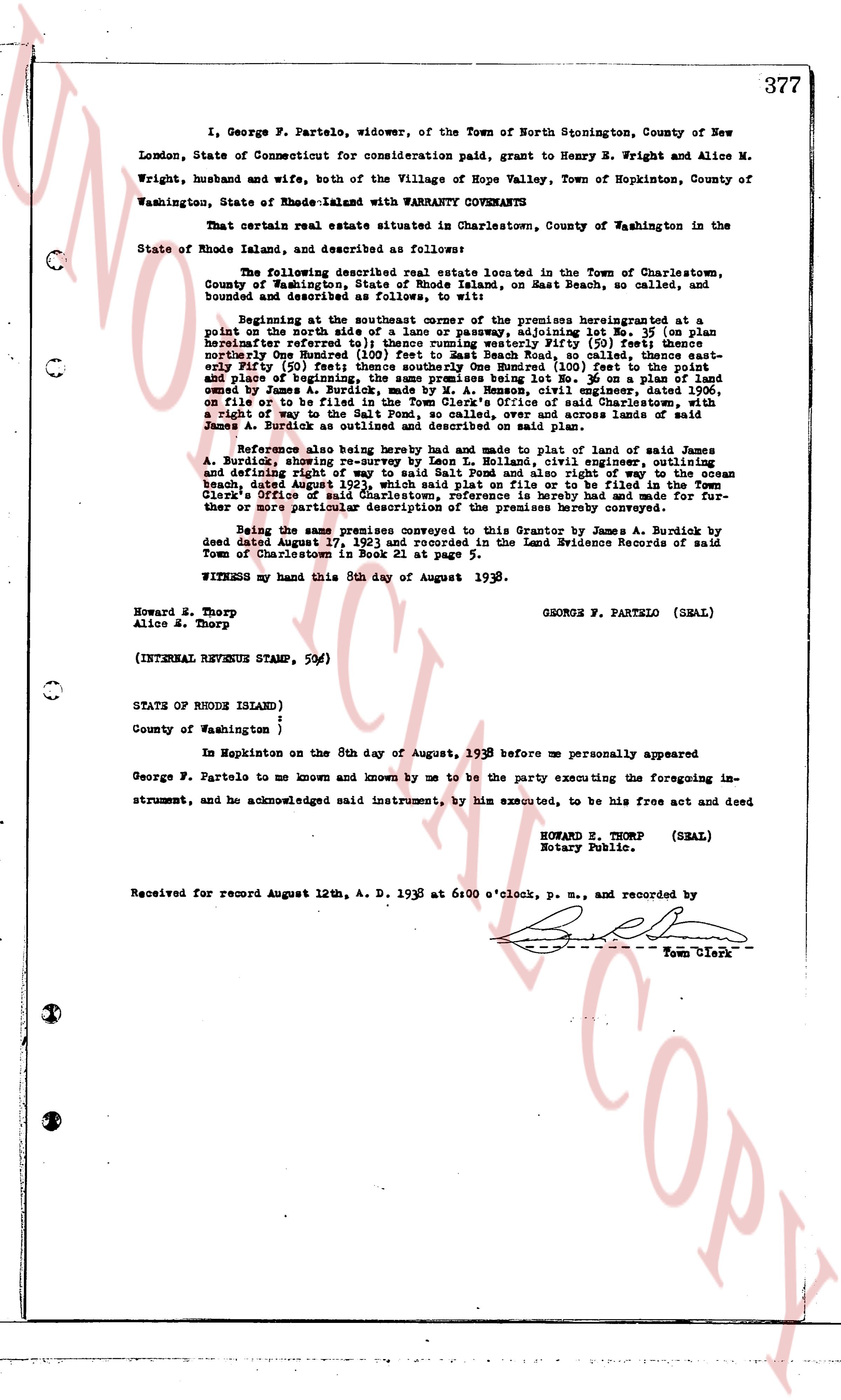
The instrument's own words
page 1
377
I, George F. Partelo, widower, of the Town of North Stonington, County of New
London, State of Connecticut for consideration paid, grant to Henry M. Wright and Alice M.
Wright, husband and wife, both of the Village of Hope Valley, Town of Hopkinton, County of
Washington, State of Rhode-Island with WARRANTY COVENANTS
That certain real estate situated in Charlestown, County of Washington in the
State of Rhode Island, and described as follows:
The following described real estate located in the Town of Charlestown,
County of Washington, State of Rhode Island, on Beach St., so called, and
bounded and described as follows, to wit:
Beginning at the southeast corner of the premises herein granted at a
point on the north side of a thirty foot wide roadway, adjoining lot No 35 (on plan
hereafter referred to) thence running westerly fifty (50) feet thence
northwesterly one hundred (100) feet to the center of Beach St., so called, thence east-
erly fifty (50) feet; thence southerly One Hundred (100) feet (to the point and
said point being the place of beginning) adjoining lot No 36, on plan, said lot being
owned by James A. Burdick, made by M. A. Benson, civil engineer, outlining
on file to be filed in the Town Clerk's Office of said Charlestown, with a
right of Way to the Salt Pond and the ocean, over and across the premises of
James A. Burdick as outlined and described on said plan.
Reference also being hereby had and made to plat of land of said James
A. Burdick above mentioned, made by M. A. Benson, civil engineer, dated 1906,
and defining right of way to said Salt Pond and also right of way to the ocean
beach, dated August 1906, said plat to be on file to be filed in the Town
Clerk's Office of said Charlestown, reference is hereby had and made for fur-
ther or more particular description of the premises hereby conveyed.
Being the same premises conveyed to the Grantor by James A. Burdick by
deed dated August 17, 1923 and recorded in the Land Evidence Records of said
Town of Charlestown in Book 21 at page 5.
WITNESS my hand this 8th day of August 1938.
George F. Partelo (SEAL)
Howard M. Thorp
Alice M. Thorp
(INTERNAL REVENUE STAMP, 50¢)
STATE OF RHODE ISLAND )
County of Washington )
In Mapkinston on the 8th day of August, 1938 before me personally appeared
George F. Partelo to me known and known by me to be the party executing the foregoing im-
strument, and he acknowledged said instrument, by him executed, to be his free act and deed
HOWARD E. THORP (SEAL)
Rotary Public.
Received for record August 12th, A. D. 1938 at 6:00 o'clock p. m., and recorded by
[Signature] Town Clerk
The page as recorded