The instrument's own words
page 1 · read by Gemma vision
285
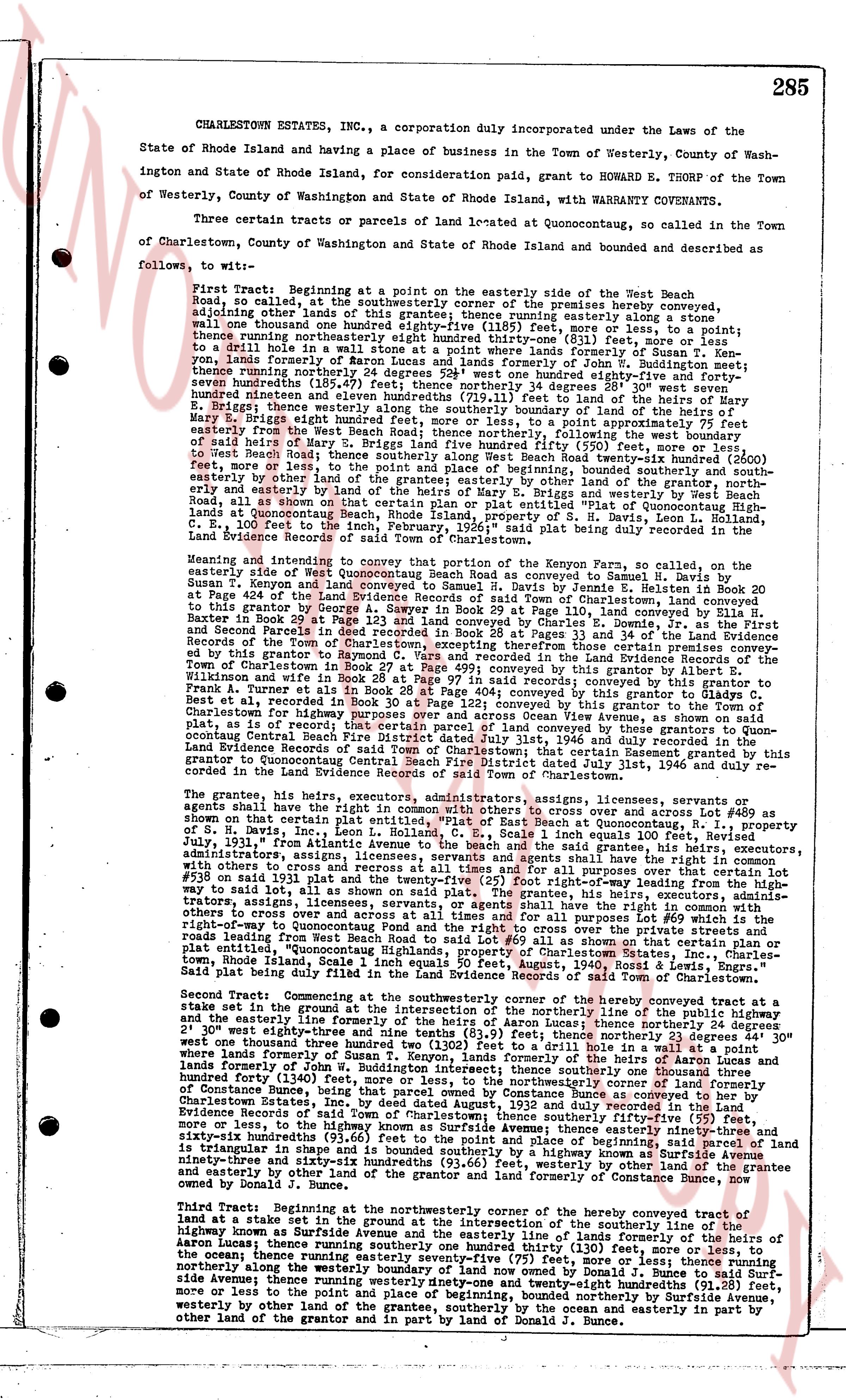
CHARLESTOWN ESTATES, Inc., a corporation duly incorporated under the Laws of the
State of Rhode Island and having a place of business in the Town of Westerly, County of Wash-
ington and State of Rhode Island, for consideration paid, grant to HOWARD E. THORP of the Town
of Westerly, County of Washington and State of Rhode Island, with WARRANTY COVENANTS
Three certain tracts or parcels of property located at Quonsetoconda, so called in the Town
of Charlestown, County of Washington and State of Rhode Island and bounded and described as
follows, to wit:
First Tract: Beginning at a point on the easterly side of the West Beach Road,
so called, at the southeasterly corner of the premises hereby conveyed, adjoining other lands of the grantor; thence running southerly a distance one
wall one hundred thousand one hundred eighty-four (1185) feet, more or less, to a point; thence
running northerly one hundred eighty-seven hundred ninety-one (81) feet, more or less, to
a drill hole in a stone wall; thence running southeasterly one hundred eighty-seven hundred twen-
ty-one, lands formerly of Noron Lucas and lands formerly of John W. B. Wuddington meet; thence
thence running southeasterly one hundred eighty-seven hundred twenty-one, bounded easterly by
seven hundreds (184.7) feet; thence northerly 34 degrees 38' 20" west thence 197
hundred ninety-one feet to a drill hole in a stone wall; thence running southeasterly one hundred
eighty-one feet; thence westerly along the southerly boundary of the land of heirs of
S. H. Davis, Inc., seventy-four hundred ninety-two (74.92) feet point hypotenuse of 187
feet easterly from the West Beach Road; thence northerly, following the west boundary of
said heirs of S. H. Davis, Inc., one hundred eighty-seven hundred twenty-one feet to a drill hole
of said heirs; thence northerly 34 degrees 38' 20" east thence 197 feet to a drill hole; thence
easterly by other land of the grantee; thence running southerly, bounded southerly and south-
easterly by other land of the grantee; thence running easterly by lands of Gary E. Briggs and westerly by West Beach
Road, as all shown on that certain plan of the lands of Howard E. Thorp, Gary E. Briggs and others
at Quonsetoconda, Beach, Rhode Island, property of S. H. Davis, Inc., Leon L. Rohland, C.
E. Scale, 1 inch equals 100 feet, Rev. 1, June 1946, recorded in Book 30, page 285 in the
Land Evidence Records of the Town of Charlestown.
Meaning and intending to convey that portion of the westerly corner of the Kenyon Farm, so called, the
easterly side of West Beach Road, as shown on that certain plan conveyed to Samuel H. Davis by
Susan T. Kenyon and land conveyed to Samuel H. Davis by Jenese E. Helton in Record Book 20 at
Page 404 of the Land Evidence Records of the Town of Charlestown; and further meaning and intending
to this grantor by George A. Sawyer in Record Book 29 at Page 110, land conveyed by Eliza H.
Baker in Record Book 20 at Page 404; and further meaning and intending to convey the First
and Second Parcels in deed recorded in Book 26 at Pages 33 and 34 of the Land Evidence
Records of the Town of Charlestown; and further meaning and intending to convey the premises con-
veyed by this grantor to Raymond C. Vars and recorded in the Land Evidence Records of the
Town of Charlestown in Record Book 29 at Page 110; and further meaning and intending to
Wilkinson and woff in Book 26 at Page 97 in said records; conveyance to grantor Albert E.
Francis in Record Book 26 at Page 97; and further meaning and intending to convey by grantor Albert E.
Francis to a third party by highway purposes and over and across Ocean View Avenue, as shown on said
plat, as is or represents the land of the grantor; and further meaning and intending to convey by
Condemnation Central Beach Fire District filed July 31st, 1946 and duly recorded in the
Land Evidence Records of the Town of Charlestown; and further meaning and intending to convey this
grantor to Quonsetoconda Central Beach Fire District filed July 31st, 1946 and duly recorded in
the Land Evidence Records of the Town of Charlestown.
The grantee, his heirs, executors, administrators, assigns, licensees, servants, agents and
servants shall have the right in common with others to cross over and cross over lot #489 as shown
on that certain plan of the lands of Howard E. Thorp, Gary E. Briggs and others, property of
S. H. Davis, Inc., Leon L. Rohland, C. E. Scale, 1 inch equals 100 feet, Rev. 1,
July 31st, 1946 filed in the Land Evidence Records of the Town of Charlestown, the grantee, his heirs, executors,
administrators, assigns, licensees, servants and agents shall have the right
with others to cross over and cross over the land of the grantor, and all purposes over that certain lot
#538 on said plan with 31 feet the twenty-five (25) feet right of way, as shown on said plat. The grantee, his heirs, executors,
administrators, assigns, licensees, servants and agents shall have the right
with others to cross over and cross over at all times and for all purposes that lot #69 which is the
right-of-way to Quonsetoconda Central Beach Fire District, and the right of way over and across the
roads leading from West Beach Road to said lot #50 as all shown on that certain plan or plat
of the lands of Howard E. Thorp, Gary E. Briggs and others, at Quonsetoconda, Beach, Rhode Island,
Scale 1 inch equals 50 feet, August, 1950, "Rossi & Lewis, Engrs." The
said plat being filed in the Land Evidence Records of the Town of Charlestown.
Second Tract: Commencing at the southwesterly corner of the hereby conveyed tract at a
stake set in the ground at the intersection of the northerly line of the property including the boundary
of the westerly line of the first tract herein described; thence running northerly 34 degrees 38'
20" west thirty-eight and nine tenths (38.9) feet; thence northerly 32 degrees 44' 30" east one hundred
twenty-one thousand three hundredths (121.03) feet to a drill hole in a stone wall; thence running
north into lands formerly of Susan T. Kenyon, lands formerly of the heirs of Arthur A. Kenyon and
lands formerly of George A. Sawyer, one hundred eighty-seven hundred twenty-one feet, more or
hundred forty (1340) feet, more or less, to a drill hole in a stone wall; thence running southeasterly
three hundred forty (340) feet, more or less, to a drill hole in a stone wall; thence running southeasterly
over land formerly of the heirs of Arthur A. Kenyon, land formerly conveyed by Bounce Constance as heir by
Providence then to the said town of Charlestown; thence southerly fifty-five (55) feet,
more or less, to the southwesterly corner of the hereby conveyed tract; thence running southeasterly
sixty-six hundredths (93.66) feet to the point and place of beginning, said parcel of land the
triangular in shape, as shown on that certain plan of the lands of Howard E. Thorp, Gary E. Briggs and
sixty-three and six tenths hundredths (93.66) feet, westerly by other land of the grantee and
easterly by other land of the grantee, and southerly by land formerly of Constance Bunce, now
owned by Donald J. Bunce.
Third Tract: Beginning at the northwesterly corner of the hereby conveyed tract at a
stake set in the ground at the intersection of the southerly line of the boundary line of the
highway known as Sunrise Avenue and the easterly line of lands formerly of the heirs of
Asaon Moore, thence running southeasterly one hundred eighty-four (184) feet, more or less, to
the ocean; thence running easterly seventy-five (75) feet, more or less, to a point; thence running
northerly along the westerly boundary of land now owned by Donald J. Bunce to said Sur-
nise Avenue; thence running northwesterly one hundred eighty-four (184) feet, more or less, to a
more or less to the point and place of beginning, bounded northerly by Sunrise Avenue, west-
erly by other land of the grantee, southerly by the ocean, and easterly in part by the
other land of the grantor and in part by land of Donald J. Bunce.
page 2 · read by Gemma vision
286
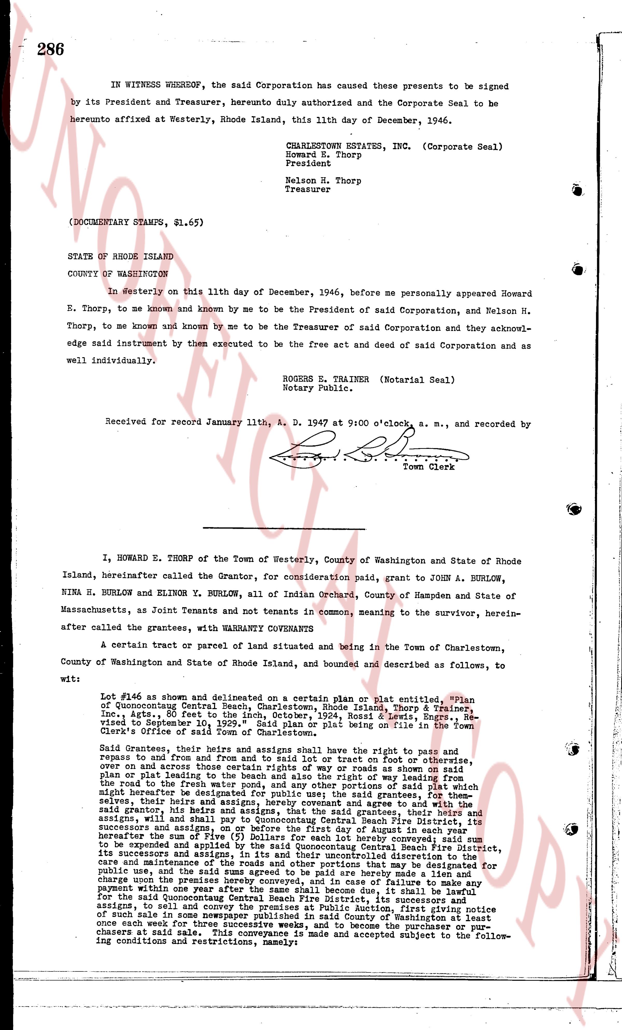
IN WITNESS WHEREOF, the said Corporation has caused these presents to be signed by its President and Treasurer, hereunto duly authorized and the Corporate Seal to be hereunto affixed at Westerly, Rhode Island, this 11th day of December, 1946.
CHARLESTOWN ESTATES, INC. (Corporate Seal)
Howard E. Thorp
President
Nelson N. Thorp
Treasurer
(DOCUMENTARY STAMPS, $1.65)
STATE OF RHODE ISLAND
COUNTY OF WASHINGTON
In Westerly on this 11th day of December, 1946, before me personally appeared Howard E. Thorp, to me known and known by me to be the President of said Corporation, and Nelson H. Thorp, to me known and known by me to be the Treasurer of said Corporation and they acknowledge said instrument by them executed to be the free act and deed of said Corporation as and well individually.
ROGERS E. TRAINER (Notarial Seal)
Notary Public.
Received for record January 11th, A. D. 1947 at 9:00 o'clock, a. m., and recorded by
[Signature]
Town Clerk
----
I, HOWARD E. THORP of the Town of Westerly, County of Washington and State of Rhode Island, hereinafter called the Grantor, for consideration paid, grant to JOHN A. BURLOW, NINA H. BURLOW and ELINOR Y. BURLOW, all of Indian Orchard, County of Hampden and State of Massachusetts, as Joint Tenants and not tenants in common, meaning to the survivor, hereinafter called the grantees, with WARRANTY COVENANTS
A certain tract or parcel of land situated and being in the Town of Charlestown, County of Washington and State of Rhode Island, and bounded and described as follows, to wit:
Lot #46 as shown and delineated on a certain plan or plat entitled, "Plan of Quonsetcogut Central Beach, Charlestown, Rhode Island, showing Building Lines, Inc., Agts., 80 ft to the inch, October, 1924, Rossi & Lewis, Engrs., Revised to September 10, 1929," said Plan or plat being on file in the Town's Clerk's Office of said Town of Charlestown.
Said Grantees, their heirs and assigns and assigns shall have the right to pass, fail to pass, repair and end and from one side to the other said lot or tract on foot or otherwise, over and across the center street, any way or roads as shown on said plan or plat leading to the beach and the right also way of the right leading from the roads to the beach and from the beach to the roads, portions of said right which might hereafter be designated for public use; the said grantees, for themselves, their heirs and assigns, by this indenture agreement and agree to and with the said grantor, his heirs and assigns, that the said Grantees and their heirs and assigns, will and shall pay to Quonsetcogut Central Beach Fire District, its successors and assigns, a sum of Five ($5) Dollars for each lot hereby conveyed said sum to be repaid and applied as a loan to the Quonsetcogut Central Beach Fire District, its successors and assigns, in its discretion and in their uncontrolled discretion to the care and maintenance of the roads and other improvements that may be made for public use, and the said sums agreed to be paid are hereby made a lien and charge upon the premises here conveyed, and in the event of failure to make payment within one year after the same shall become due, it shall be lawful for the said Quonsetcogut Central Beach Fire District, its successors and assigns, to sell and convey the premises at Public Auction, first giving notice of such sale in some one of the newspapers published in said County of Washington at least once each week for three successive weeks before the premises are sold to the highest bidders at said sale. This conveyance is made and accepted subject to the following conditions and restrictions, namely:
The page as recorded