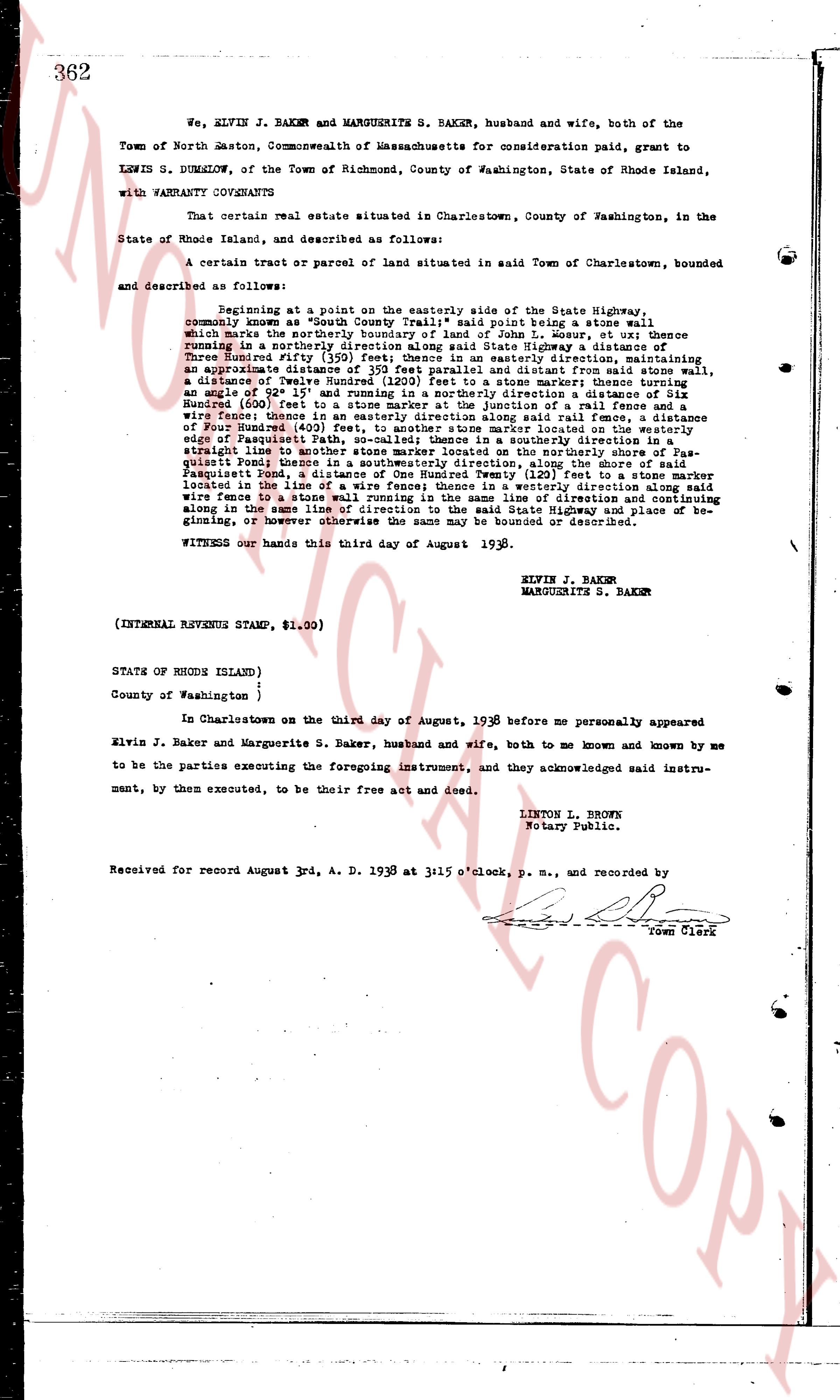
The instrument's own words
page 1
362
We, ELVIN J. BAKER and MARGUERITE S. BAKER, husband and wife, both of the
Town of North Easton, Commonwealth of Massachusetts for consideration paid, grant to
LEWIS S. DUMSALOW, of the Town of Richmond, County of Washington, State of Rhode Island,
with WARRANTY COVENANTS
That certain real estate situated in Charlestown, County of Washington, in the
State of Rhode Island, and described as follows:
A certain tract or parcel of land situated in Town of Charlestown, bounded
and described as follows:
Beginning at a point on the easterly side of the State Highway,
commonly known as "South County Trail"; said point being a stone wall
which marks the easterly boundary of the land of John S. Brown; thence
running in a northerly direction along said stone wall and boundary, thence
Three Hundred fifty (350) feet in a northerly direction, thence running
an approximate distance of 195 feet to parallel direction and diverge
an approximate distance of Twelve Hundred (1200) feet to a stone marker; thence turning
and running in a northerly direction an approximate distance of Three
Hundred (300) feet to a stone marker at the junction of a rail fence and a
stone wall; thence continuing in a northerly direction a distance of Three
Hundred (300) feet to a stone marker; thence turning and running in a distance
of Four Hundred (400) feet, to another stone marker located on the westerly side
of Passaquash Pond; thence running along said rail fence to a point on a
straight line leading to another stone marker located on the northerly shore of Pas-
quash Pond; thence running in a northerly direction along State Highway a distance of
Two Hundred (200) feet to a stone wall; thence running from said stone wall,
Passaquash pond, a distance of One Hundred Twenty (120) feet to a stone marker
located in the line of the State Highway; thence running in a northerly direction along
wire fence to a stone wall running in the same line of direction and continuing
along in the same line of direction along the State Highway to the place of be-
ginning, or however otherwise the same may be bounded or described.
WITNESS our hands this third day of August 1938.
ELVIN J. BAKER
MARGUERITE S. BAKER
(INTERNAL REVENUE STAMP, $1.00)
STATE OF RHODE ISLAND)
County of Washington )
:
In Charlestown on the third day of August, 1938 before me personally appeared
Elvin J. Baker and Marguerite S. Baker, husband and wife, both to me known and known by me
to be the parties executing the foregoing instrument, and they acknowledged said instru-
ment, by them executed, to be their free act and deed.
LINTON L. BROWN
Notary Public.
Received for record August 3rd, A. D. 1938 at 3:15 o'clock, p. m., and recorded by
Town Clerk
The page as recorded