The instrument's own words
page 1 · read by Gemma vision
279
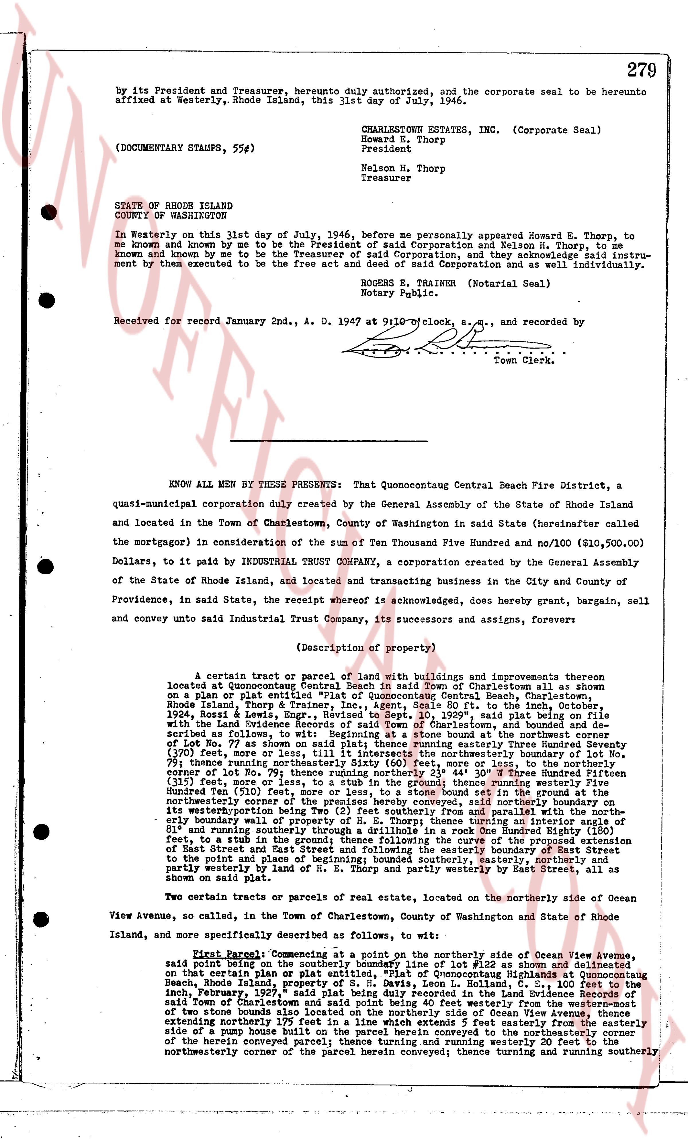
by its President and Treasurer, hereto duly authorized, and the corporate seal to be hereunto affixed at Westerly, Rhode Island, this 31st day of July, 1946.
CHARLESTOWN ESTATES, INC. (Corporate Seal)
Howard E. Thorp
President
Nelson H. Thorp
Treasurer
STATE OF RHODE ISLAND
COUNTY OF WASHINGTON
In Westerly on this 31st day of July, 1946, before me personally appeared Howard E. Thorp, to me known and known by me to be the President of said Corporation and Nelson H. Thorp, to me known and known by me to be the Treasurer of said Corporation, and they acknowledge said instrument by them executed to be the free act and deed of said Corporation as well as their own individually.
ROBERN E. TRAINER (Notarial Seal)
Notary Public.
Received for record January 2nd, A. D. 1947 at 9:10 o'clock, a.m., and recorded by
Town Clerk.
----
KNOW ALL MEN BY THESE PRESENTS: That Quonocontaug Central Beach Fire District, a quasi-municipal corporation duly created by the General Assembly of the State of Rhode Island and located in the Town of Charlestown, County of Washington in said State (hereinafter called the mortgagor) in consideration of the sum of Ten Thousand Five Hundred and no/100 ($10,500.00) Dollars, to it paid by INDUSTRIAL TRUST COMPANY, a corporation created by the General Assembly of the State of Rhode Island, and located and transacting business in the City and County of Providence, in said State, the receipt whereof is acknowledged, does hereby grant, bargain, sell and convey unto said Industrial Trust Company, its successors and assigns, forever:
(Description of property)
A certain tract or parcel of land with buildings and improvements thereon located at Quonocontaug Central Beach in said Town of Charlestown also an shown on a plan or plat entitled "Plat of Quonocontaug Central Beach, Charlestown, Rhode Island, Thorp & Thorp Engineers" recorded in Book 20, page 76, in the land evidence, 1934, Roszi & Lewis Engrs., Revised to Sept 10, 1929", saying plat being on file with the Town Land Evidence Recorder, and more fully described as follows: Beginning at a stone subscribed as follows, to wit: Beginning at a stone found at the northwestern corner of Lot No. 77 as shown on said plat; thence running easterly Three Hundred Seventy ($370) feet, more or less, to the northeasterly corner of Lot No. 77; thence running southerly 79 feet; thence running northeasterly Sixty (60) feet, more or less, to the northeasterly corner of Lot No. 79; thence running easterly One Hundred Fifty-Five (155) feet, more or less, to a stub in the ground thence running westerly Five Hundred Twenty-one (521) feet, more or less, to a stub set in the ground; thence running northwesterly corners of the premise hereby conveyed, said northeasterly boundary on the easterly boundary wall of property of W. E. Thorp; thence turning an interior angle of 81 and running easterly to a stub in the ground; thence following the curve of the proposed extension of East Street and running easterly to a stub in the ground; thence running southeasterly to the point and place of beginning; bounded southerly, easterly, northerly and westerly by land of W. E. Thorp and partly westerly by East Street, all as shown on said plat.
Two certain tracts or parcels of real estate, located on the northerly side of Ocean View Avenue, so called, in the Town of Charlestown, County of Washington and State of Rhode Island, and more specifically described as follows, to wit:
First Parcel: Commencing at a point on the northerly side of Ocean View Avenue, said point being on the line between Lot 15 and Lot 16 as shown on a plan or plat certain that certain plan or plat entitled "Plat of Quonocontaug Central Beach, Rhode Island, property of S. H. Davis, Leon L. Colihan, R. E. S. 100 feet to the inch, February 1, 1937" recorded in the Land Evidence of said Town in Book 23, page 113, said Town of Charlestown and said point being 40 feet westerly from the western-most edge of two stone boundary walls running parallel to said Ocean View Avenue; thence running extending northerly 175 feet in a line which extends 5 feet easterly from the easterly side of a pump of a well on said first parcel herein conveyed to the northeasterly corner of the herein conveyed parcel; thence running easterly 20 feet to the northeasterly corner of the herein conveyed corner of the herein conveyed; thence turning and running southerly
The page as recorded