The instrument's own words
page 1 · read by Gemma vision
107
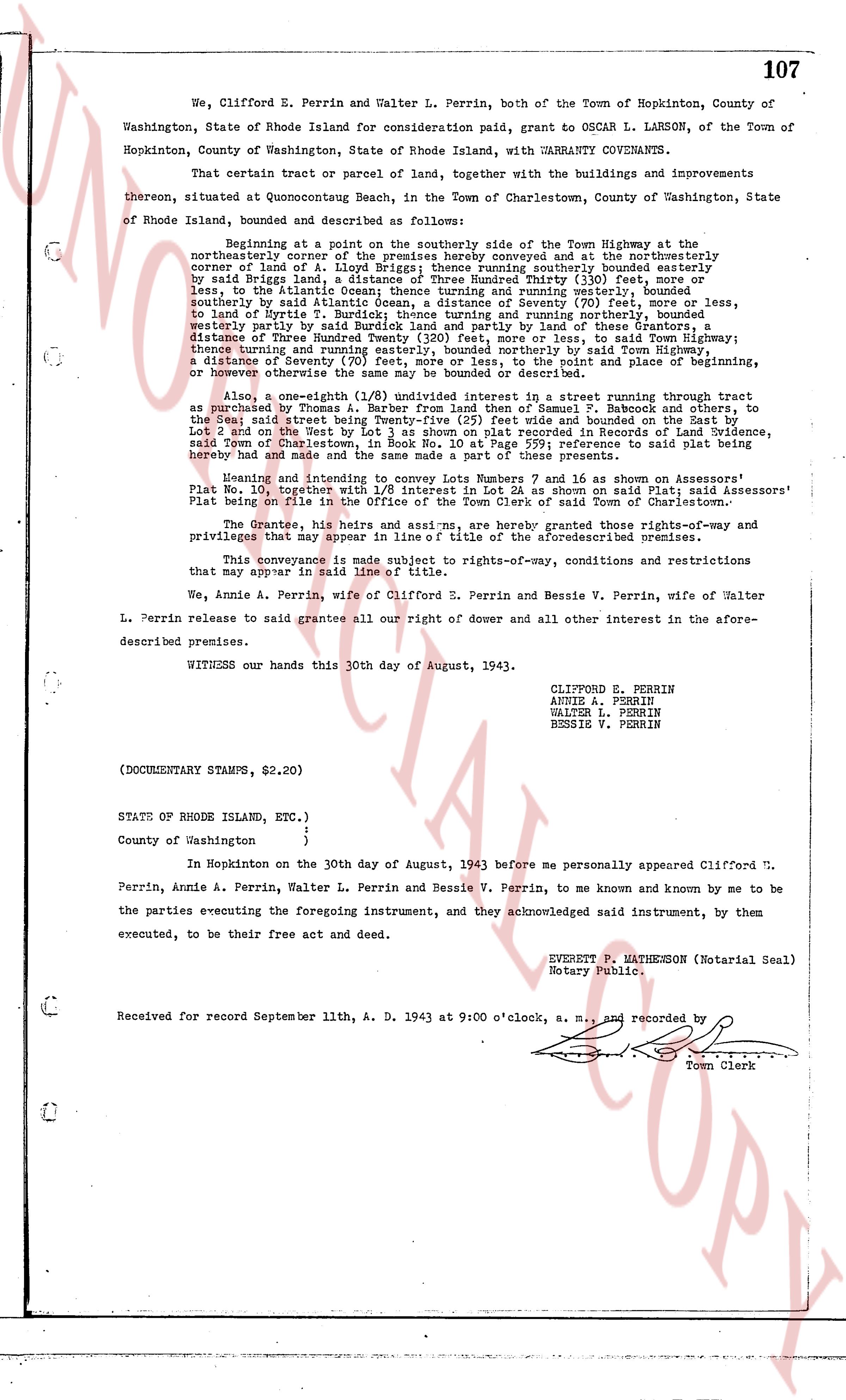
We, Clifford E. Perrin and Walter L. Perrin, both of the Town of Hopkinton, County of Washington, State of Rhode Island for consideration paid, grant to OSCAR L. LARSON, of the Town of Hopkinton, County of Washington, State of Rhode Island, with WARRANTY COVENANTS.
That certain tract or parcel of land, together with the buildings and improvements thereon, situated at Quonocutong Beach, in the Town of Charlestown, County of Washington, State of Rhode Island, bounded and described as follows:
Beginning at a point on the southerly side of the Town Highway at the northeasterly corner of the premises hereby conveyed and at the northeasterly corner of land of A. Lampley; thence running southeasterly bounded partly by said Briggs land, a distance of Three Hundred Thirty (330) feet, more or less, to the Atlantic Ocean; thence running southeasterly, bounded southeasterly by said Atlantic Ocean, a distance of Seventy (70) feet, more or less, to said Nyrite T. Burdick; thence running and northerly running, bounded westerly partly by said Atlantic Ocean and partly by land of these premises, a distance of Three Hundred Twenty (320) feet, more or less, to said Town Highway; thence running west and northerly running, bounded northerly by said Town Highway, a distance of Seventy (70) feet, more or less, to the point and place of beginning, the whole premises containing approximately 0.23 acres.
Also, a one-eighth (1/8) undivided interest in a street running through tract as purchased by Thomas A. Barber land from den Samuel T. Babcock and others, to the East street bounded north and south by said tract and bounded on the West Lot 2 and on the West by Lot 1 as shown on plat recorded in Records of Land Evidence, said Town of Charlestown, Rhode Island, reference is said plat being hereby made and hand and the same made a part of these presents.
Meaning and intending to convey Lots Number 7 and 16 as shown on Assessors' Plat No. 120 Hopkinton west of the Town Highway on said plat in said Assessors' Plat being on file in the Office of the Town Clerk of said Town of Charlestown.
The Grantee, his heirs and asns, are hereby granted those rights-of-way and privileges that may appear in line of title of the aforementioned premises.
This conveyance is made subject to rights-of-way, conditions and restrictions that may appear in said line of title.
We, Annie A. Perrin, wife of Clifford E. Perrin and Bessie V. Perrin, wife of Walter L. Perrin release to said grantee all our right of dower and all other interest in the aforementioned premises.
WITNESS our hands this 30th day of August, 1943.
CLIFFORD E. PERRIN
ANNIE A. PERRIN
WALTER L. PERRIN
BESSIE V. PERRIN
(DOCUMENTARY STAMPS, $2.20)
STATE OF RHODE ISLAND, ETC.)
County of Washington }
}
In Hopkinton on the 30th day of August, 1943 before me personally appeared Clifford E. Perrin, Annie A. Perrin, Walter L. Perrin and Bessie V. Perrin, to me known and by me to be the parties executing the foregoing instrument, and they acknowledged said instrument, by them executed, to be their free act and deed.
EVERETT P. MATHENSON (Notarial Seal)
Notary Public.
Received for record September 11th, A. D. 1943 at 9:00 o'clock, a. m., and recorded by [?]
Town Clerk
The page as recorded