The instrument's own words
page 1 · read by Gemma vision
189
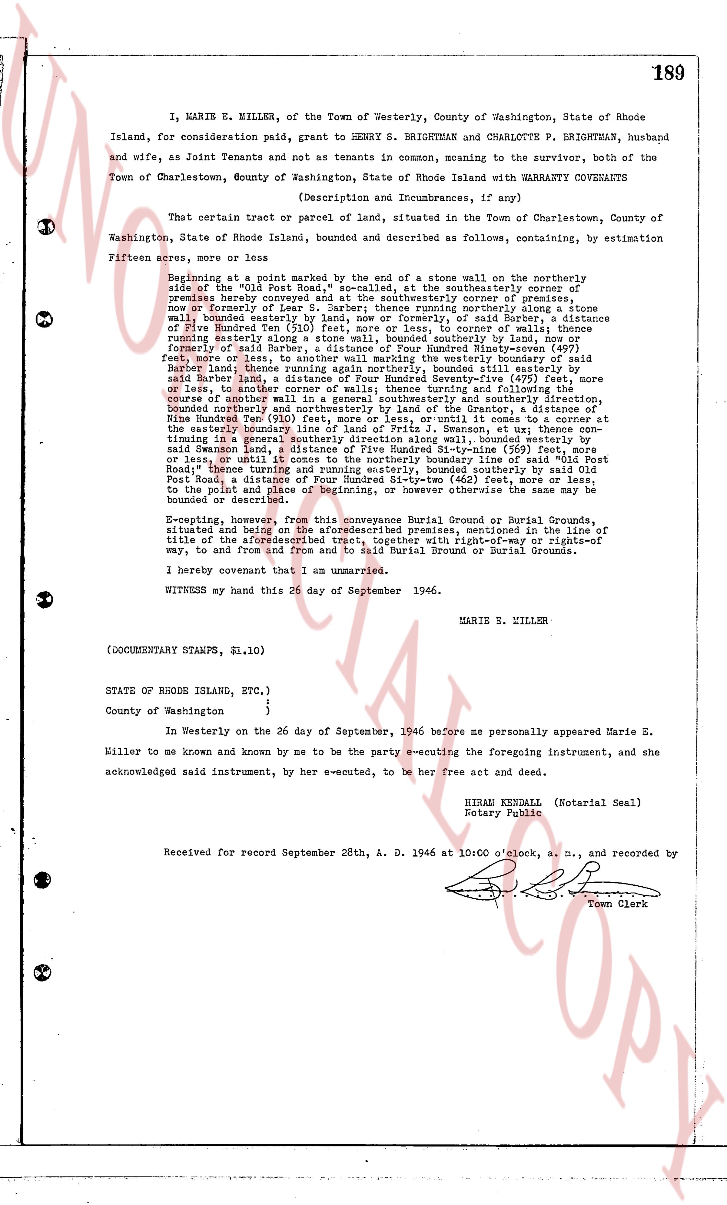
I, MARIE E. MILLER, of the Town of Westerly, County of Washington, State of Rhode Island, for consideration paid, grant to HENRY S. BRIGHTMAN and CHARLOTTE P. BRIGHTMAN, husband and wife, as Joint Tenants and not as tenants in common, meaning to the survivor, BRIGHTMAN, both of the Town of Charlestown, County of Washington, State of Rhode Island with WARRANTY COVENANTS
(Description and Incumbrances, if any)
That certain tract or parcel of land, situated in the Town of Charlestown, County of Washington, State of Rhode Island, bounded and described as follows, containing, by estimation
Fifteen acres, more or less.
Beginning at a point marked by the end of a stone wall on the northerly side across the "Old Post Road," so-called, at the southeasterly corner of premises hereby conveyed and at the southeasterly corner of premises, now or formerly of said Barber, a line running southwesterly along said stone wall, bounded easterly by land, now or formerly, of said Barber, a distance of Five Hundred Ten (510) feet, more or less, to corner of walls; thence running westerly along said wall, bounded southerly by land, now or formerly of said Barber, a distance of Five Hundred Ninety-nine (599) feet, more or less, to corner of walls; thence running easterly along the western boundary of said Barber land, thence running again northerly along bounded, still easterly by said Barber land, a distance of Four Hundred Seventy-five (475) feet, more or less, to corner of another wall; thence running westerly to corner of walls; thence running northerly along the boundary line of premises now or formerly of said Barber, a distance of Five Hundred Twenty (520) feet, more or less, to boundary northerly and northwesterly by land of the Grantor, a distance of Nine Hundred Two (902) feet, more or less, with course as given in the record of the easterly boundary line of land of Fritz S. Emaxson, et ux; thence running southeasterly along a stone wall, bounded east, (500) feet, more or less, to said Swanson land, a distance of Five Hundred Thirty-nine (539) feet, more or less, to corner of walls; thence running southeasterly along the boundary line of said Post Road, a distance of Four Hundred Fifty-two (452) feet, more or less, to the point and place of beginning, and running otherwise. Be assumed that the same be bounded or described.
E-excepting, however, from this conveyance Burial Ground or Burial Grounds, situated and being on the aforesaid premises, mentioned in the line of title of the aforesaid tract, together with right-of-way or rights-of way, to and from and from and to said Burial Ground or Burial Grounds.
I hereby covenant that I am unmarried.
WITNESS my hand this 26 day of September 1946.
MARIE E. MILLER
(DOCUMENTARY STAMPS, $1.10)
STATE OF RHODE ISLAND, ETC.)
)
County of Washington )
In Westerly on the 26 day of September, 1946 before me personally appeared Marie E. Miller to me known and known by me to be the party e-cuting the foregoing instrument, and she acknowledged said instrument, by her e-cuted, to be her free act and deed.
HIRAM KENDALL (Notarial Seal)
Notary Public
Received for record September 28th, A. D. 1946 at 10:00 o'clock, a. m., and recorded by [?]
Town Clerk
The page as recorded