The instrument's own words
page 1 · read by Gemma vision
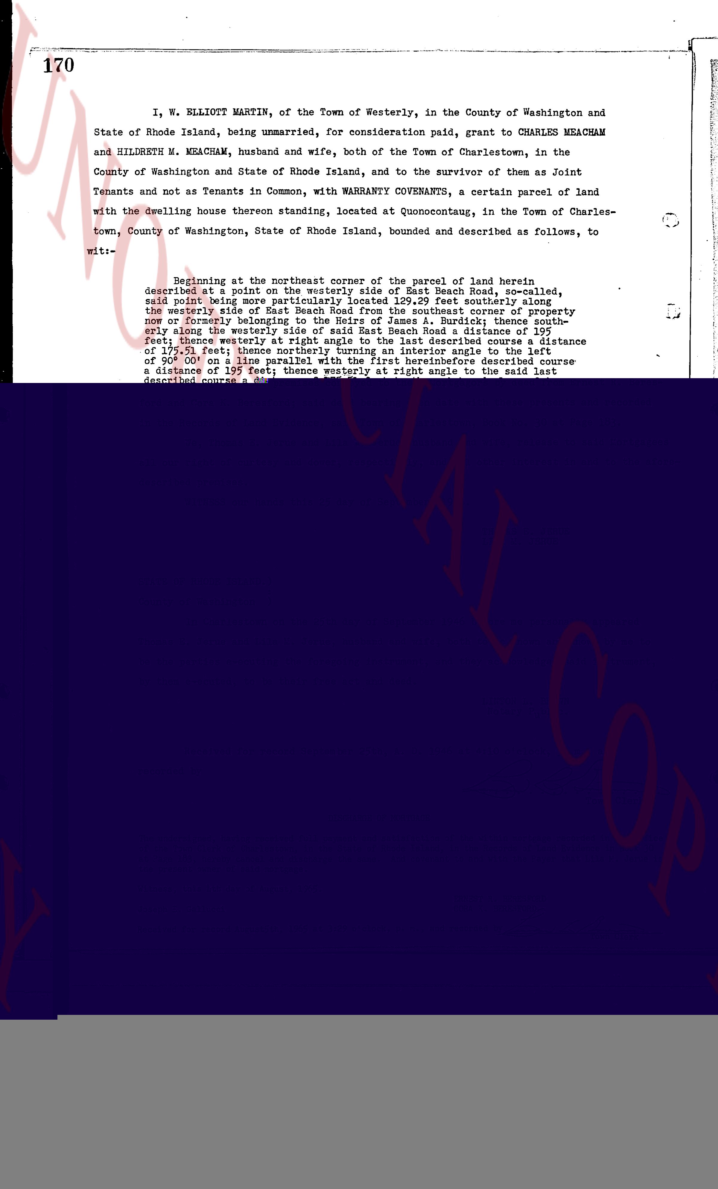
170
I, W. ELLIOTT MARTIN, of the Town of Westerly, in the County of Washington and
State of Rhode Island, being unmarried, for consideration paid, grant to CHARLES MEACHAM
and HILDRETH M. MEACHAM, husband and wife, both of the Town of Charlestown, in the
County of Washington and State of Rhode Island, and to the survivor of them as Joint
Tenants and not as Tenants in Common, with WARRANTY COVENANTS, a certain parcel of land
with the dwelling house thereon standing, located at Quonoccutaug, in the Town of Charles-
town, County of Washington, State of Rhode Island, bounded and described as follows, to
wit:--
Beginning at the northeast corner of the parcel of land herein
described at a point on the easterly side of East Beach Road, as called,
said point being more particularly located 109.29 feet southerly along
the westerly side of East Beach Road from the southeast corner of property
now or formerly belonging to [?] [?] [?], bounded north-
easterly along the westerly side of said East Beach Road a distance of 197-
feet; thence westerly at right angle to the said last described line a distance
of 175.51 feet; thence northerly turning an interior angle to the left
of 90° 00' on a line parallel with the first hereinbefore described course
a distance of 197 feet; thence westerly at right angle to the said last
described course,
page 2 · read by Gemma vision
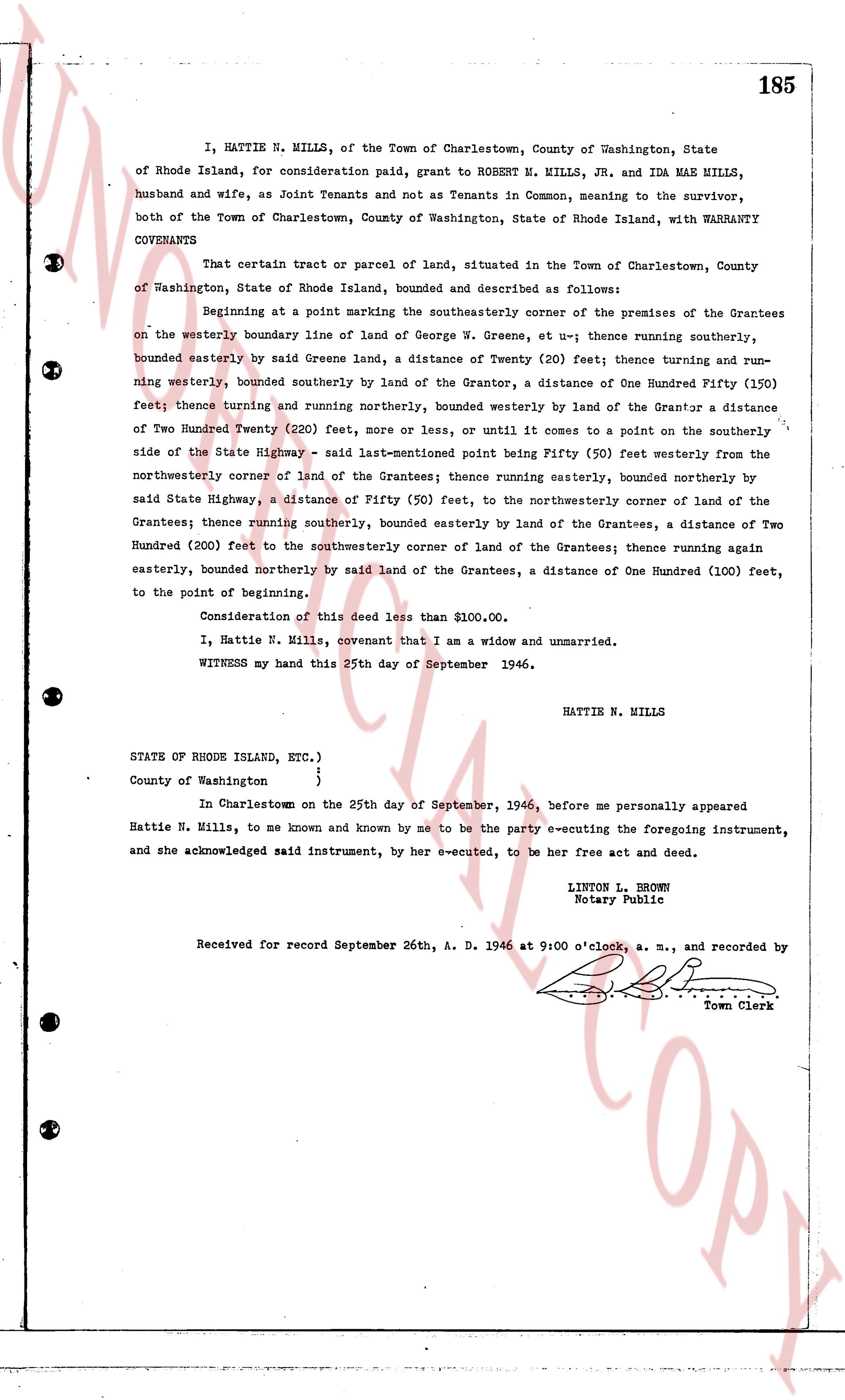
185
I, HATTIE N. MILLS, of the Town of Charlestown, County of Washington, State of Rhode Island, for consideration paid, grant to ROBERT M. MILLS, JR. and IDA MAE MILLS, husband and wife, as Joint Tenants and not as Tenants in Common, meaning to the survivor, both of the Town of Charlestown, County of Washington, State of Rhode Island, with WARRANTY COVENANTS
That certain tract or parcel of land, situated in the Town of Charlestown, County of Washington, State of Rhode Island, bounded and described as follows:
Beginning at a point marking the southeasterly corner of the premises of the Grantees on the westerly boundary line of land of George W. Greene, et ux-- thence running southerly, bounded easterly by said Greene land, a distance of Twenty (20) feet; thence turning and running westerly, bounded southerly by land of the Grantor, a distance of One Hundred Fifty (150) feet; thence turning and running northerly, bounded westerly by land of the Grantor a distance of Two Hundred Twenty (220) feet, more or less, or until it comes to a point on the southerly side of the State Highway - said last-mentioned point being Fifty (50) feet westerly from the northwesterly corner of land of the Grantees; thence running easterly, bounded northerly by said State Highway, a distance of Fifty (50) feet, to the northwesterly corner of land of the Grantees; thence running southerly, bounded easterly by land of the Grantees, a distance of Two Hundred (200) feet to the southwesterly corner of land of the Grantees; thence running again easterly, bounded northerly by said land of the Grantees, a distance of One Hundred (100) feet, to the point of beginning.
Consideration of this deed less than $100.00.
I, Hattie N. Mills, covenant that I am a widow and unmarried.
WITNESS my hand this 25th day of September 1946.
HATTIE N. MILLS
STATE OF RHODE ISLAND, ETC.)
County of Washington }
In Charlestown on the 25th day of September, 1946, before me personally appeared Hattie N. Mills, to me known and known by me to be the party executing the foregoing instrument, and she acknowledged said instrument, by her executed, to be her free act and deed.
LINTON L. BROWN
Notary Public
Received for record September 26th, A. D. 1946 at 9:00 o'clock, a. m., and recorded by [?] Town Clerk
page 3 · read by Gemma vision
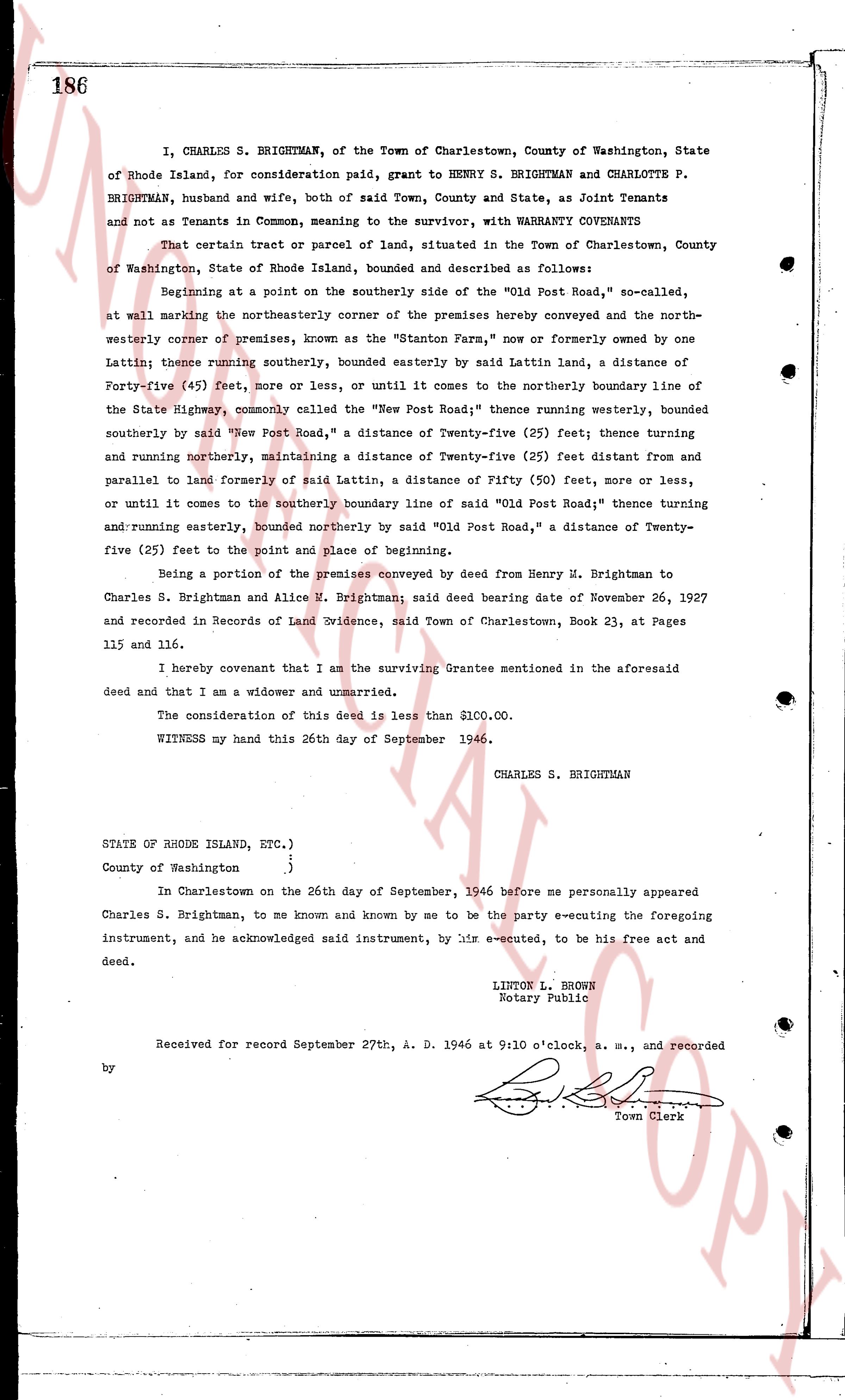
186
I, CHARLES S. BRIGHTMAN, of the Town of Charlestown, County of Washington, State of Rhode Island, for consideration paid, grant to HENRY S. BRIGHTMAN and CHARLOTTE P. BRIGHTMAN, husband and wife, both of said Town, County and State, as Joint Tenants and not as Tenants in Common, meaning to the survivor, with WARRANTY COVENANTS
That certain tract or parcel of land, situated in the Town of Charlestown, County of Washington, State of Rhode Island, bounded and described as follows:
Beginning at a point on the southerly side of the "Old Post Road," so-called, at wall marking the northeasterly corner of the premises hereby conveyed and the northwesterly corner of premises, known as the "Stanton Farm," now or formerly owned by one Lattin; thence running southerly, bounded easterly by said Lattin land, a distance of Forty-five (45) feet, more or less, or until it comes to the northerly boundary line of the State Highway, commonly called the "New Post Road"; thence running westerly, bounded southerly by said "New Post Road," a distance of Twenty-five (25) feet; thence running westerly and running northerly, maintaining a distance of Twenty-five (25) feet distant from and parallel to land formerly of said Lattin, a distance of Fifty (50) feet, more or less, or until it comes to the southerly boundary line of said "Old Post Road"; thence running and running easterly, bounded northerly by said "Old Post Road," a distance of Twenty-five (25) feet to the point and place of beginning.
Being a portion of the premises conveyed by deed from Henry H. Brightman to Charles S. Brightman and Alice U. Brightman; said deed bearing date of November 26, 1927 and recorded in Records of Land Evidence, said Town of Charlestown, Book 23, at Pages 115 and 116.
I hereby covenant that I am the surviving Grantee mentioned in the aforesaid deed and that I am a widower and unmarried.
The consideration of this deed is less than $100.00.
WITNESS my hand this 26th day of September 1946.
CHARLES S. BRIGHTMAN
STATE OF RHODE ISLAND, ETC.)
County of Washington }
In Charlestown on the 26th day of September, 1946 before me personally appeared Charles S. Brightman, to me known and known by me to be the party executing the foregoing instrument, and he acknowledged said instrument, by his e-executed, to be his free act and deed.
LINTON L. BROWN
Notary Public
Received for record September 27th, A. D. 1946 at 9:10 o'clock, a. m., and recorded by [Signature] Town Clerk
The page as recorded