The instrument's own words
page 1 · read by Gemma vision
662
IN THE DISTRICT COURT OF THE UNITED STATES
IN AND FOR THE DISTRICT OF RHODE ISLAND
UNITED STATES OF AMERICA
PETITIONER
vs. } Misc. No. 156
}
DUCKWORTH CARRIE E. AND J. E. RUISI
ET AL., }
DEPENDANTS
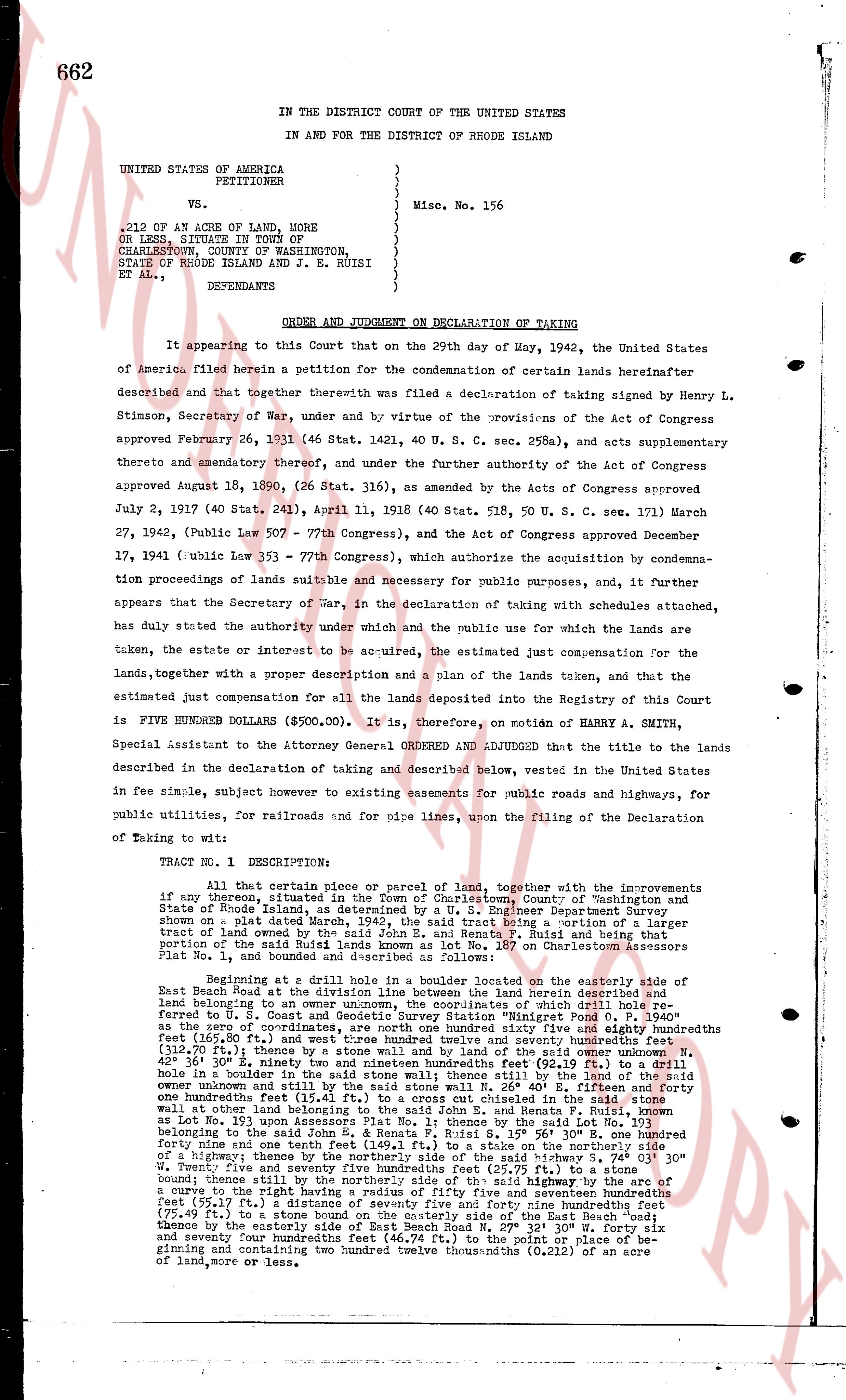
ORDER AND JUDGMENT ON DECLARATION OF TAKING
It appearing to this Court that on the 29th day of May, 1942, the United States of America filed herein a petition for the condemnation of certain lands hereinafter described and that together therewith was filed a declaration of taking signed by Henry L. Stimson, Secretary of War under and by virtue of the provisions of the Acts of Congress approved February 26, 1931 (46 Stat. 1421, 40 U. S. C. sec. 258a), and acts supplementary thereto and amendatory thereof, and under the further authority of the Act of Congress approved August 18, 1890, (26 Stat. 116), as amended by the Acts of Congress approved July 2, 1907 (40 Stat. 241), April 11, 1918 (40 Stat. 518, 50 U. S. C. sec. 171) March 27, 1942, (Public Law 507 - 77th Congress), and the Act of Congress approved December 17, 1941 (Public Law 153 - 77th Congress), which authorize the acquisition by condemnation proceedings of lands suitable and necessary for public purposes, and further appearing that the Secretary of War, in the declaration of taking with schedules attached, has duly stated the authority under which and the public use for which the lands are taken, the estate or interest to be acquired, the estimated just compensation for the lands taken, together with a proper description and a plan of the lands taken, and that the estimated just compensation for all the lands deposited into the Registry of this Court is FIVE HUNDRED DOLLARS ($500.00). It is, therefore, on motion of HARRY A. SMITH, Special Assistant to the Attorney General ORDERED AND ADJUDGED that the title to the lands described in the declaration of taking and described below, vested in the United States in fee simple, subject however to existing easements for public roads and highways, for public utilities, for railroads and for mines lies unknown, upon the filing of the Declaration of taking to wit:
TRACT No. 1 DESCRIPTION
All that certain piece or parcel of land, together with the improvements if any thereon, situated in the town of Charlestown, County of Washington and State of Rhode Island, as determined by the U. S. Engineer Department on a plan dated March 24, 1942, the said tract being a portion of a larger tract of land owned by a certain Carrie E. Duckworth, R. Ruisi and being a small portion of the said Ruisi lands known as lot No. 107 on Charlestown Assessors Plat No. 1, and bounded as described as follows:
Beginning at a nail, a drill hole set 3 1/2 inches deep located on the easterly side of East Beach Road at the division line between the land herein described and an adjacent land belonging to an unknown owner, the coordinates of this drill hole be, approximately, N 41 deg. 24' 30" W, longitude 1 deg. 31' 10" W, 115.40' as the zero of coordinates, it runs one hundred ninety five feet ninety eight hundredths feet (195.98 ft.) and one hundred ninety five feet seventy seven hundredths feet (195.77 ft.) (312.70 ft.) thence by a stone wall and by the land of a said owner unknown N. 42 deg. 50' W 130.40' to a drill hole set 3 1/2 inches deep 60.40' to a stone wall thence one hundred eighty four feet fifty four hundredths feet (184.54 ft.) and one hundred eighty four feet one hundredths feet (184.01 ft.) to a cross cut chiseled in the said stone wall at one hundred eighty four feet and one hundred eighty four feet one hundredths feet (184.01 ft.) in the land of Lot No. 193 upon Assessors Plat No. 171 and thence by the said Lot No. 193 bearing N 42 deg. 50' W 130.40' to a drill hole set 3 1/2 inches deep 60.40' and one hundred forty nine and one tenth feet (149.1 ft.) to a stake on the northerly side of a highway, thence S 41 deg. 24' 30" W along the highway, N 74 deg. 03' 30" W twenty five and seventy five hundredths feet (25.75 ft.) to a stone boundary, thence S 41 deg. 24' 30" W 130.40' to the point of the said highway by the arc of a curve to the right having a radius of fifty five hundredths feet (0.55 ft.) and seventy five twenty seven hundredths feet (75.27 ft.) a distance of seventy five and forty nine hundredths feet (75.49 ft.) to a stone boundary, thence S 41 deg. 24' 30" W along the easterly side of East Beach Road N 41 deg. 24' 30" W 27 deg. 32' 30" N forty six and seventy seven hundredths feet (46.77 ft.) to the point of place of beginning and containing two hundred twelve thousandths (0.212) of an acre of land, more or less.
The page as recorded