The instrument's own words
page 1 · read by Gemma vision
140
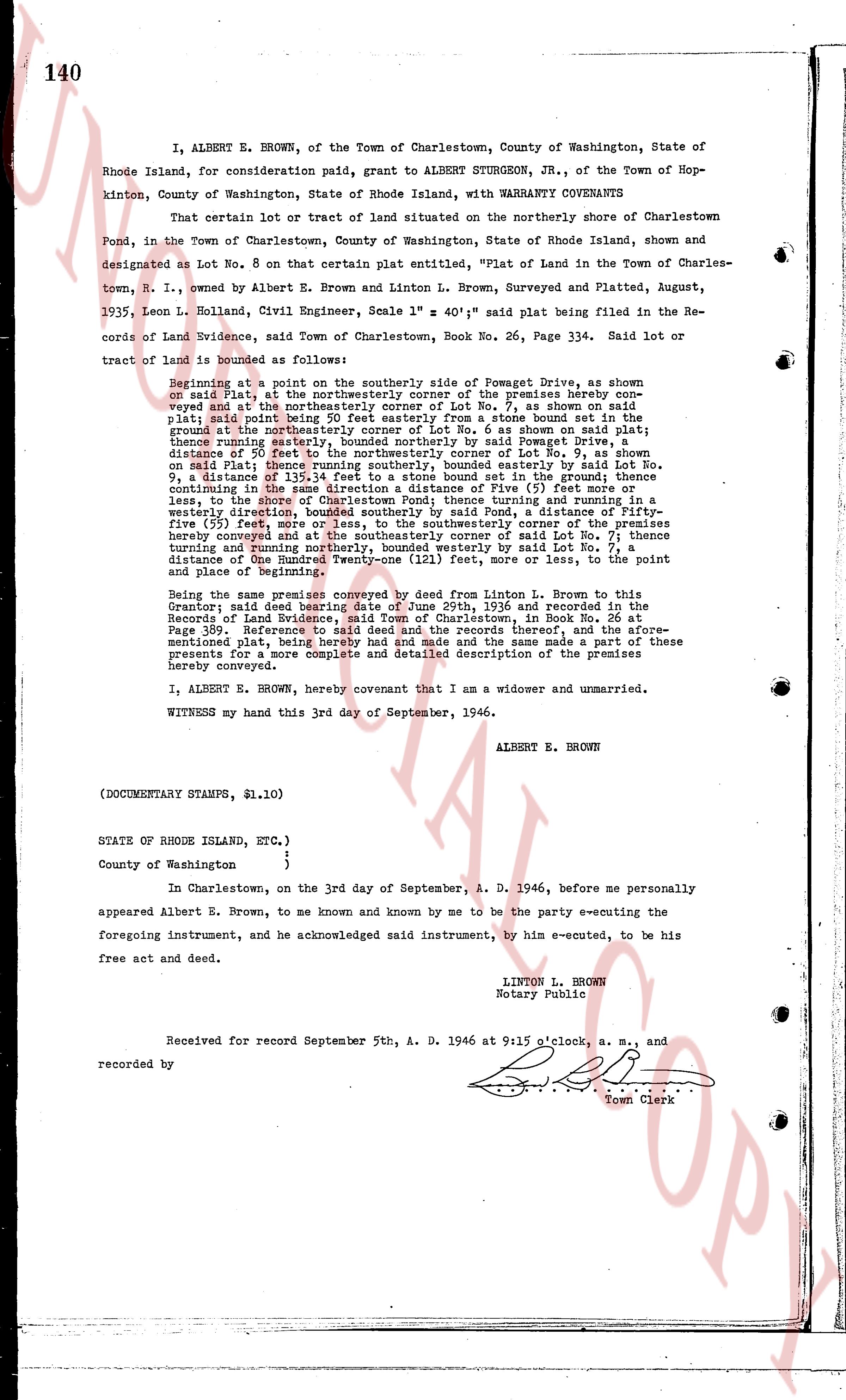
I, ALBERT E. BROWN, of the Town of Charlestown, County of Washington, State of Rhode Island, for consideration paid, grant to ALBERT STURGEON, JR., of the Town of Hopkinton, County of Washington, State of Rhode Island, with WARRANTY COVENANTS
That certain lot or tract of land situated on the northerly shore of Charlestown Pond, in the Town of Charlestown, County of Washington, State of Rhode Island, shown and designated as Lot No. 8 on that certain plat entitled, "Plat of Land in the Town of Charlestown, R. I.", owned by Albert E. Brown and Linton L. Brown, Surveyed and Platted and Platted, August 1935, Leon L. Holland, Civil Engineer, Scale 1" = 40' said plat being filed in the Records of land Evidence, Washington Co. Charlestown, Book No. 26, Page 334. Said lot or tract of land is bounded as follows:
Beginning at a point on the southerly side of Pomwget Drive, as shown on said Plat, at the northeasterly corner of the premises hereby conveyed and at the northeasterly corner of Lot No. 7, as shown on said Plat; thence running south 15 deg. 30' west to a stone bound set in the ground at the northeasterly corner of Lot No. 6 as shown on said plat; thence running south 15 deg. 30' west by said Pomwget Drive to a stone bound distance of 50 feet to the northeasterly corner of Lot No. 9, as shown on said Plat; thence running south 15 deg. 30' west to a bound set in the ground, a distance of 50 feet; thence running easterly by said Lot No. 9, a distance of 135.54 feet to a stone bound set in the ground; thence running in the south easterly direction of the shore of Pond, a distance of fifty-five (55) feet, more or less, to the shore of Charlestown Pond; thence turning and running in the westerly direction, a distance of One Hundred Twenty-five (125) feet, more or less, to the shore of Charlestown Pond; thence turning and running north easterly by the premises hereby conveyed and at the southeasterly corner of said Lot No. 7; thence turning and running north 15 deg. 30' easterly by said Lot No. 7, to a stone bound a distance of One Hundred Twenty-one (121) feet, more or less, to the point of Place of Beginning.
Being the same premises conveyed by deed from Linton L. Brown to this Grantor; said deed bearing date of June 29th, 1936 and recorded in the Records of Land Evidence, Charlestown, Rhode Island, in Book No. 26, Page 359. Reference to said deed and the records thereof, and the aforementioned plat, between the parties to this deed and the same made a part of these presents for a more complete and detailed description of the premises hereby conveyed.
I, ALBERT E. BROWN, hereby covenant that I am a widower and unmarried.
WITNESS my hand this 3rd day of September, 1946.
ALBERT E. BROWN
(DOCUMENTARY STAMPS, $1.10)
STATE OF RHODE ISLAND, ETC.)
)
)
County of Washington
)
In Charlestown, on the 3rd day of September, A. D. 1946, before me personally appeared Albert E. Brown, to me known and by me to be the party e-executing the foregoing instrument, and he acknowledged said instrument, by him e-executed, to be his free act and deed.
LINTON L. BROWN
Notary Public
Received for record September 5th, A. D. 1946 at 9 o'clock, a. m., and recorded by [?]
Town Clerk
The page as recorded