The instrument's own words
page 1 · read by Gemma vision
106
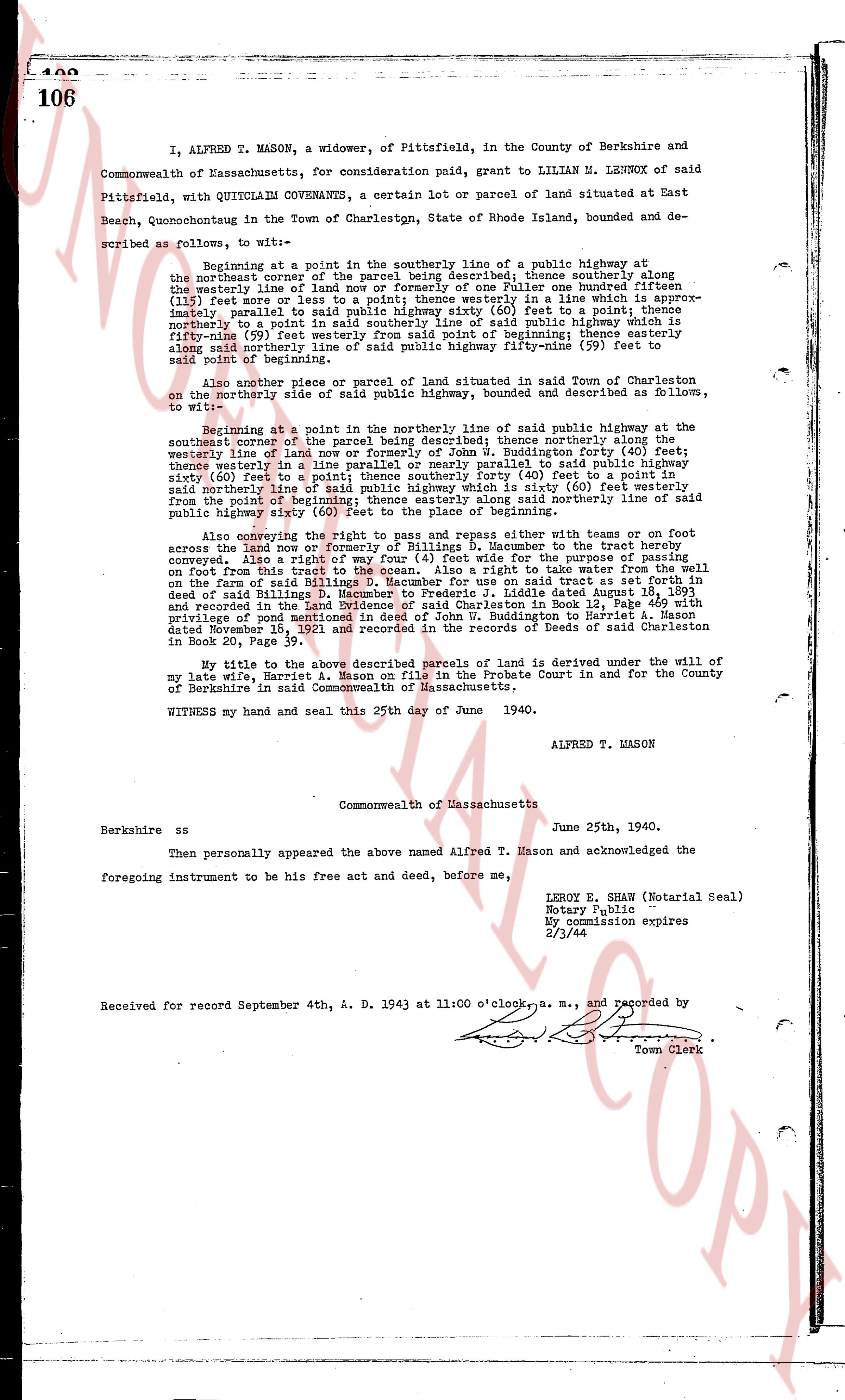
I, ALFRED T. MASON, a widower, of Pittsfield, in the County of Berkshire and Commonwealth of Massachusetts, for consideration paid, grant to LILLIAN M. LENROX of said Pittsfield, with QUITCLAIM COVENANTS, a certain lot or parcel of land situated at East Beach, Quonochontaug in the Town of Charlestown, State of Rhode Island, bounded and described as follows, to wit:
Beginning at a point in the southerly line of a public highway at the northeast corner of the parcel being described, thence southerly along the westerly line of land of [?] [?] [?] one hundred fourteen (114) feet or more or less to a point; thence westerly in a line which is approximately parallel to a line from said point to a point in the southerly line northerly to a point in said southerly line of said public highway which is fifty-nine (59) feet easterly from said southerly line of said public highway ninety-nine (99) feet to said point of beginning
Also another piece or parcel of land situated in said Town of Charlestown on the northerly side of said public highway, bounded and described as follows, to wit:
Beginning at a point in the northerly line of said public highway being at the southwest corner of the parcel being described; thence northerly along the westerly line of land now or formerly of John W. Buddington forty (40) feet; thence westerly in a line which is approximately parallel to said public highway sixty (60) feet to a point; thence southerly forty (40) feet to a point in said northerly line; thence easterly sixty (60) feet to a point; thence north eastly from the point of beginning; thence easterly along said northerly line of said public highway sixty (60) feet to the place of beginning.
Also reserving the right to pass and repass either with teams or on foot across the land now or formerly of Billings D. Macumber to the tract hereby conveyed. Also a right of way four (4) feet wide for the purpose of accessing said foot path from the main highway. Also a right to take water from the well on the farm of said Billings D. Macumber for use on said tract dated August 18, 1891 and recorded in the Land Evidence of said Charlestown in Book 12, Page 469 with privilege of using a pump; and a right of way from Buddington to Maritime dated November 18, 1921 and recorded in the Records of Deeds of said Charlestown in Book 20, Page 39.
My title to the above described parcels of land is derived under the will of my late wife, Harriet A. Mason on file in the Probate Court in and for the County of Berkshire in said Commonwealth of Massachusetts.
WITNESS my hand and seal this 25th day of June 1940.
ALFRED T. MASON
Commonwealth of Massachusetts
Berkshire ss June 25th, 1940.
Then personally appeared the above named Alfred T. Mason and acknowledged the foregoing instrument to be his free act and deed, before me,
LEROY E. SHAW (Notarial Seal)
Notary Public
My commission expires
2/3/44
Received for September 4th, A. D. 1943 at 11 o'clock a. m., and recorded by
Town Clerk
The page as recorded