The instrument's own words
page 1 · read by Gemma vision
25
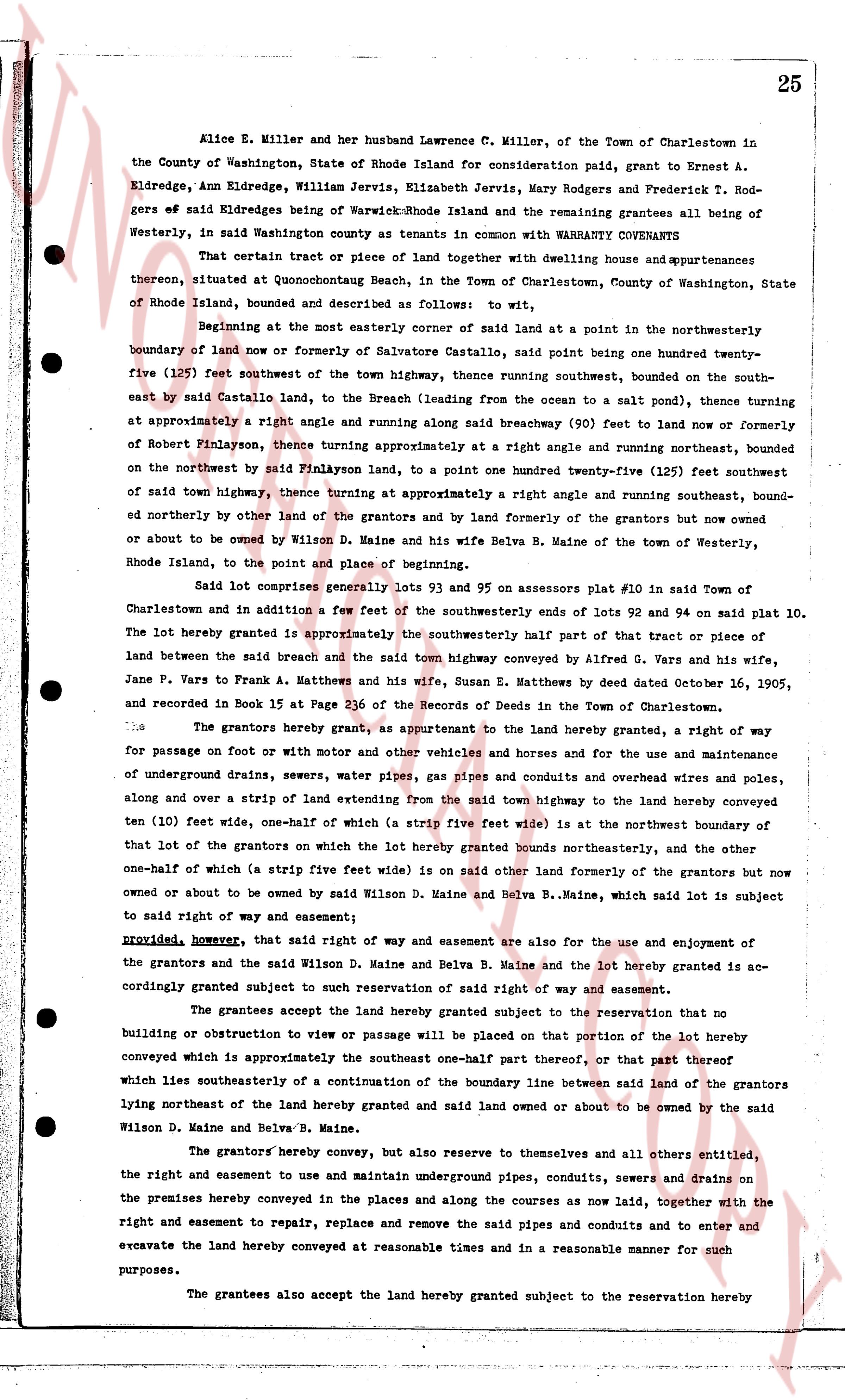
Alice E. Miller and her husband Lawrence C. Miller, of the Town of Charlestown in
the County of Washington, State of Rhode Island for consideration paid, grant to Ernest A.
Eldredge, Ann Eldredge, William Jervis, Elizabeth Jervis, Mary Rodgers and Frederick T. Rod-
gers of said Eldredge being of Warwick, Rhode Island and the remaining grantees all being of
Westerly, in said Washington county as tenants in common with WARRANTY COVENANTS
That certain tract or piece of land together with dwelling house and appurtenances
thereon, situated at Quonochontough Beach, in the Town of Charlestown, County of Washington, State
of Rhode Island, bounded and described as follows: to wit,
Beginning at the most easterly corner of said land at a point in the northwesterly
boundary of land now or formerly of Salvatore Castaldo, said point being one hundred twenty-
five (125) feet southwest of the town highway, thence running southwest, bounded on the south-
east by said Castaldo land, to the Breach (leading from the ocean to a salt pond), thence turning
at approximately a right angle and running along said breachway (90) feet to land now or formerly
of Robert Pinayson, thence turning approximately at a right angle and running northwest, bounded
on the northwest by said Pinayson land, to a point one hundred twenty-five (125) feet southwest
of said town highway, thence turning at approximately a right angle and running southeast, bound-
ed northerly by other land of the grantors and by land formerly of the grantors but now owned
or about to be owned by Wilson D. Maine and his wife Belva B. Maine of the town of Westerly,
Rhode Island, to the point and place of beginning.
Said lot comprises generally lots 93 and 95 on Assessors plat #10 in said Town of
Charlestown and in addition a few feet of the southwesterly ends of lots 92 and 94 on said plat 10.
The lot hereby granted is approximately the southeasterly half part of that tract or piece of
land between the said breach and the said town highway conveyed by Alfred G. Wars and his wife,
Jane P. Wars to Frank A. Matthews and his wife, Susan E. Matthews by deed dated October 16, 1905,
and recorded in Book 15 at Page 236 of the Records of Deeds in the Town of Charlestown.
The grantors hereby grant, as appurtenant to the land hereby granted, a right of way
for passage on foot or with motor and other vehicles and horses and for the use and maintenance
of underground drains, sewers, water pipes, gas pipes and conduits and overhead wires and poles,
along and over a strip of land extending from the said town highway to the land hereby conveyed
ten (10) feet wide, one-half of which (a strip five feet wide) is at the northwest boundary of
that lot of the grantors on which the lot hereby granted bounds northeasterly, and the other
one-half of which (a strip five feet wide) is on said other land formerly of the grantors but now
owned or about to be owned by said Wilson D. Maine and Belva B. Maine, which said lot is subject
to said right of way and easement;
provided, however, that said right of way and easement are also for the use and enjoyment of
the grantors and the said Wilson D. Maine and Belva B. Maine and the lot hereby granted is ac-
cordingly bounded subject to such reservation of said right of way and easement.
The grantees accept the land hereby granted subject to the reservation that no
building or obstruction to view or passage will be placed on that portion of the lot hereby
conveyed which is approximately the southeast one-half part thereof, or that part thereof
which lies southeasterly of a continuation of the boundary line between said land of the grantors
lying northeast of the land hereby granted and said land owned or about to be owned by the said
Wilson D. Maine and Belva B. Maine.
The grantors hereby convey, but also reserve to themselves and all others entitled,
the right and easement to use and maintain underground pipes, conduits, sewers and drains on
the premises hereby conveyed in the places and along the courses as now laid, together with the
right and easement to repair, replace and remove the said pipes and conduits and to enter and
excavate the land hereby conveyed at reasonable times and in a reasonable manner for such
purposes.
The grantees also accept the land hereby granted subject to the reservation hereby
page 2 · read by Gemma vision
13
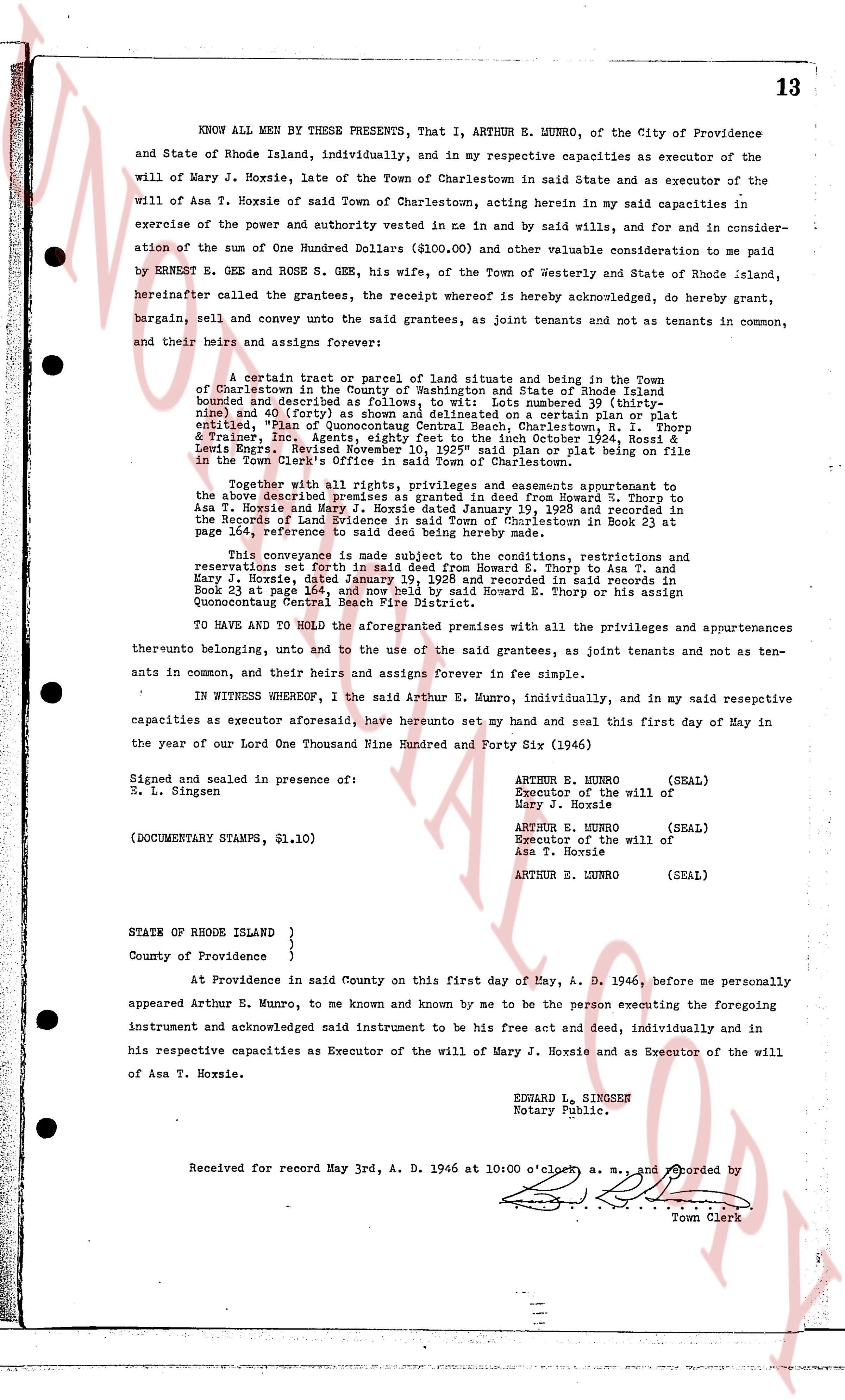
KNOW ALL MEN by THESE PRESENTS, That I, ARTHUR E. MUNRO, of the City of Providence and State of Rhode Island, individually, and in my respective capacities as executor of the will of Mary J. Hoxsie, late of the Town of Charlestown in said State and as executor of the will of Asa T. Hoxsie of said Town of Charlestown, acting herein in my said capacities in exercise of the power and authority vested me in and by said wills, and for and in consideration of the sum of One Hundred Dollars ($100.00) and other valuable consideration to me paid by ERNEST E. GOE and ROSE G. GOE, his wife, of the Town of Westerly and State of Rhode Island, hereinafter called the grantees, the receipt whereof is hereby acknowledged, do hereby grant, bargain, sell and convey unto the said grantees, as joint tenants and not as tenants in common, to their heirs and assigns forever:
A certain tract or parcel of land situate and being in the Town of Charlestown in the County of Washington and State of Rhode Island bounded south by described (plan of [?]) Lot number 38 (entirely, and forty (40) feet) as shown and delineated on a certain plan or plat entitled "Plan of Quonocutong Central Beach, Charlestown, R. I." Thorp & Erastine Inc. Agents, dated and filed October 1924, Book 4 Page 8 and Louis Engs. Revised November 10, 1925" said plan or plat being on file in the Town Clerk's Office of the Town of Charlestown.
Together with all rights, privileges and appurtenances appertaining to the above described premises as granted in deed from Howard S. Thorp to Asa T. Hoxsie and Mary J. Hoxsie dated February 23, 1928 and recorded in the Records of Land Evidence in said Town of Charlestown in Book 23 at page 164, reference thereto being here made;
This conveyance is subject to the conditions, restrictions and reservations set forth in said deed from Howard S. Thorp to Asa T. and Mary J. Hoxsie, dated February 23, 1928 and recorded in said records in Book 23 at page 164, and now held by Howard S. Thorp or his assign Quonocutong Central Beach Fire District.
TO HAVE AND TO HOLD the aforegranted premises with all the privileges and appurtenances thereto belonging, unto and to the use of the said grantees, as joint tenants and not as tenants in common, and their heirs and assigns forever in fee simple.
IN WITNESS WHEREOF, I the said Arthur E. Munro, individually, and in my said respective capacities as executor aforesaid, have hereunto set my hand and seal this first day of May in the year of our Lord One Thousand Nine Hundred and Forty Six (1946)
Signed and sealed in presence of:
E. L. Singsen
(DOCUMENTARY STAMPS, $1.10)
ARTHUR E. MUNRO (SEAL)
Executor of the will of
Mary J. Hoxsie
ARTHUR E. MUNRO (SEAL)
Executor of the will of
Asa T. Hoxsie
ARTHUR E. MUNRO (SEAL)
STATE OF RHODE ISLAND }
}
County of Providence }
At Providence in said County on this first day of May, A. D. 1946, before me personally appeared Arthur E. Munro, to me known and known by me to be the person executing the foregoing instrument and acknowledged said instrument to be his free act and deed, individually and in his respective capacities as Executor of the will of Mary J. Hoxsie and as Executor of the will of Asa T. Hoxsie.
EDWARD L. SINGSEN
Notary Public.
Received for record May 3rd, A. D. 1946 at 10:00 o'clock a. m., and recorded by
Town Clerk
The page as recorded