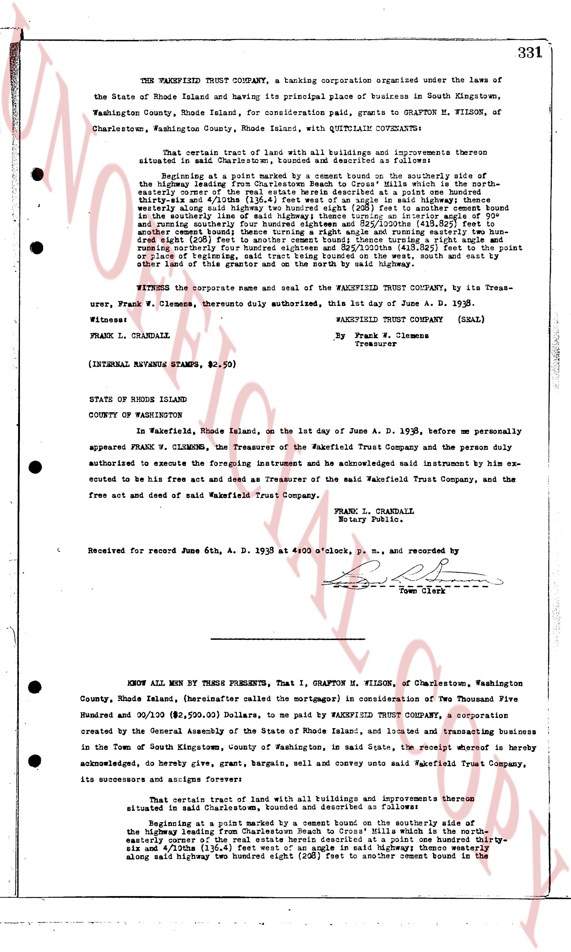
The instrument's own words
page 1
331
THE WAKEFIELD TRUST COMPANY, a banking corporation organized under the laws of
the State of Rhode Island and having its principal place of business in South Kingstown,
Washington County, Rhode Island, for consideration paid, grants to GRAFTON H. KILSON, of
Charlestown, Washington County, Rhode Island, with QUITCLAIM CONVEYANCE:
That certain tract of land with all buildings and improvements thereon
situated in said Charlestown, bounded and described as follows:
Beginning at a point marked by a cement bound on the southerly side of
the highway leading from Charlestown Beach to Cross Mills which is the north-
easterly corner of the real estate herein described at a point one hundred thirty-
six and 4/100ths (136.4) feet west of an angle in said highway; thence westerly
twenty-two long rods in a straight line (528) feet to another cement bound in the
southerly line of said highway; thence turning an interior angle of 90° and
turning northerly one rod in a straight line (48.5) feet to another cement bound in
another cement bound; thence turning a right angle and running easterly two hun-
dred eight rods (500) feet to another cement bound; thence turning a right angle and
running northerly two hundred eight rods and 52 3/100ths (413.82) feet to the point or
place of beginning; and bounded on the north by the said highway, south and east by
other land of this grantor and on the north by the said highway.
WITNESS the corporate name and seal of the WAKEFIELD TRUST COMPANY, by its Treas-
urer, Frank W. Clemens, thereto duly authorized, this 1st day of June A. D. 1938.
Witness:
WAKEFIELD TRUST COMPANY (SEAL)
FRANK L. CRANDALL. By Frank W. Clemens
Treasurer
(INTERNAL REVENUE STAMPS, $2.59)
STATE OF RHODE ISLAND
COUNTY OF WASHINGTON
In Wakefield, Rhode Island, on the 1st day of June A. D. 1938, before me personally
appeared FRANK W. CLEMENS, the Treasurer of the Wakefield Trust Company and the person duly
authorized to execute the foregoing instrument and he acknowledged said instrument by him ex-
ecuted to be his free act and deed as Treasurer of the said Wakefield Trust Company, and the
free act and deed of said Wakefield Trust Company.
FRANK L. CRANDALL
Notary Public.
Received for record June 6th, A. D. 1938 at 4:00 o'clock, p. m. and recorded by
Town Clerk
KNOW ALL MEN BY THESE PRESENTS, That I, GRAFTON H. MILSON, of Charlestown, Washington
County, Rhode Island, (hereinafter called the mortgagor) in consideration of Two Thousand Five
Hundred and 99/100 ($2,599.00) Dollars, to me paid by WAKEFIELD TRUST COMPANY, a corporation
created by the General Assembly of the State of Rhode Island, and located and transacting business
in the Town of South Kingstown, County of Washington, in said State, the receipt whereof is hereby
acknowledged, do hereby grant, bargain, sell and convey unto said Wakefield Trust Company,
its successors and assigns forever:
That certain tract of land with all buildings and improvements thereon
situated in said Charlestown, bounded and described as follows:
Beginning at a point marked by a cement bound on the southerly side of
the highway leading from Charlestown Beach to Cross Mills which is the north-
easterly corner of the real estate herein described at a point one hundred thirty-
six and 4/100ths (136.4) feet west of an angle in said highway; thence westerly
The page as recorded