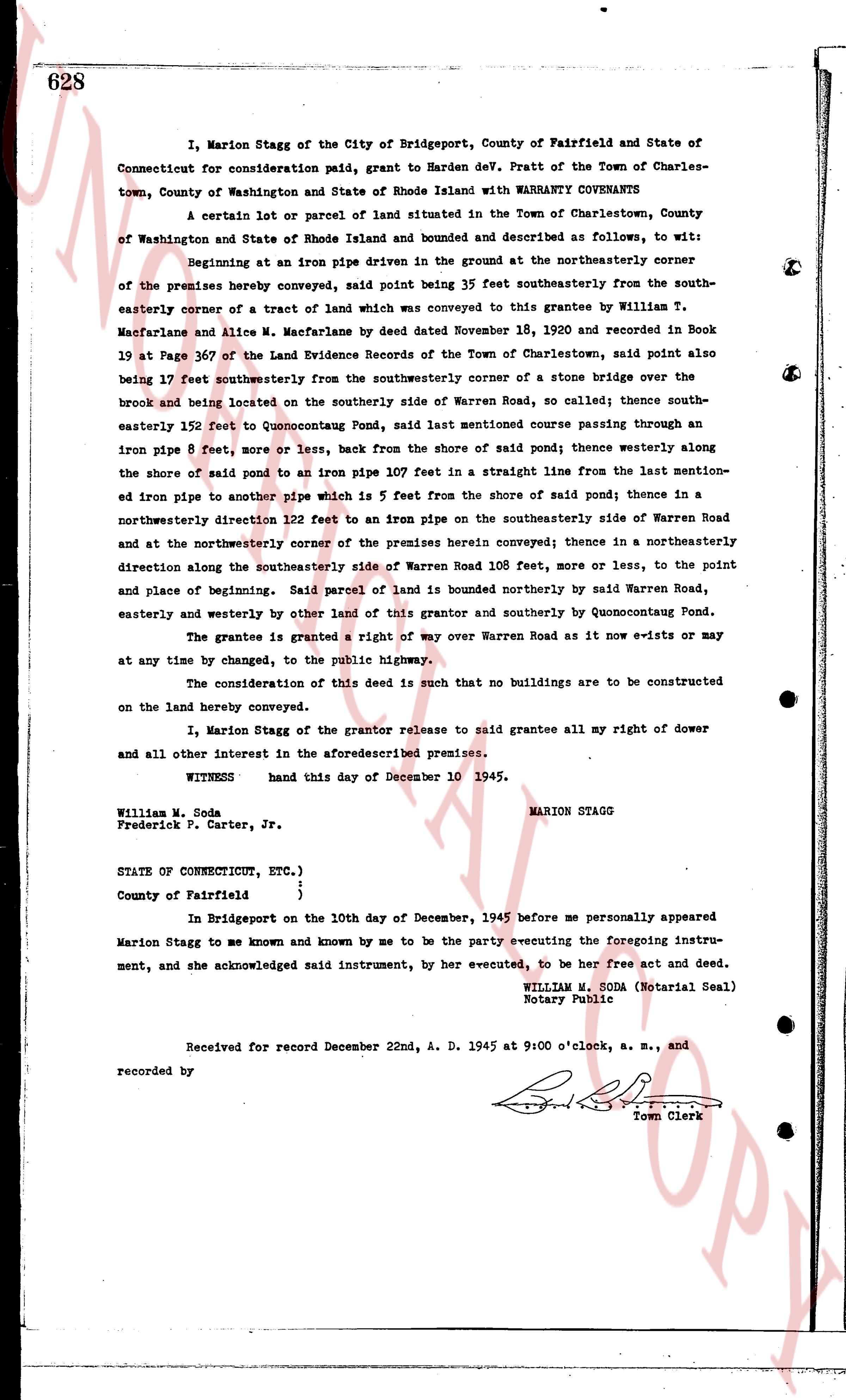
The instrument's own words
page 1 · read by Gemma vision
628
I, Marion Stagg of the City of Bridgeport, County of Fairfield and State of
Connecticut for consideration said, paid, grant to Harden Dev. Pratt of the Town of Charles-
town, County of Washington and State of Rhode Island with WARRANTY COVENANTS
A certain lot or parcel of land situated in the Town of Charlestown, County
of Washington and State of Rhode Island and bounded and described as follows, to wit:
Beginning at an iron pipe reference driven in the ground at the northeasterly corner
of the premises hereby conveyed, said point being 35 feet southeasterly from the south-
easterly corner of a tract of land which was conveyed to this grantee by William T.
Macfarlane and Alice M. Macfarlane by deed dated November 18, 1920 and recorded in Book
19 at Page 367 of the Land Evidence Records of the Town of Charlestown, said point also
being 17 feet southwesterly from the southwesternly corner of a stone bridge over the
brook and being located on the southerly side of Warren Road, so called; thence south-
easterly 152 feet to Quonocontaug Pond, said last mentioned course passing through an
iron pipe 8 feet, more or less, back from the shore of said pond; thence westerly along
the shore of said pond to an iron pipe 107 feet in a straight line from the last mentioned-
edge iron pipe to another pipe which is 5 feet from the shore of said pond; thence in a
northwesterly direction 122 feet to an iron pipe on the southeasterly side of Warren Road
and at the northeasterly corner of the premises herein conveyed; thence in a northeasterly
direction along the southeasterly side of Warren Road 108 feet, more or less, to the point
and place of beginning. Said parcel of land is bounded northerly by said Warren Road,
easterly and westerly by other land of this grantor and southerly by Quonocontaug Pond.
The grantee is granted a right of way over Warren Road as it now e-xists or may
at any time by changed, to the public highway.
The consideration of this deed is such that no buildings are to be constructed
on the land hereby conveyed.
I, Marion Stagg of the grantor release to said grantee all my right of dower
and all other interest in the aforesaid premises.
WITNESS hand this day of December 10 1945.
William M. Soda MARION STAGG
Frederick P. Carter, Jr.
STATE OF CONNECTICUT, ETC.)
County of Fairfield }
}
In Bridgeport on the 10th day of December, 1945 before me personally appeared
Marion Stagg to me known and known by me to be the party executing instru-
ment, and she acknowledged said instrument, by her executed, to be her free act and deed.
WILLIAM M. SODA (Notarial Seal)
Notary Public
Received for record December 22nd, A. D. 1945 at 9:00 o'clock, a. m., and
recorded by [?]
Town Clerk
The page as recorded