The instrument's own words
page 1 · read by Gemma vision
603
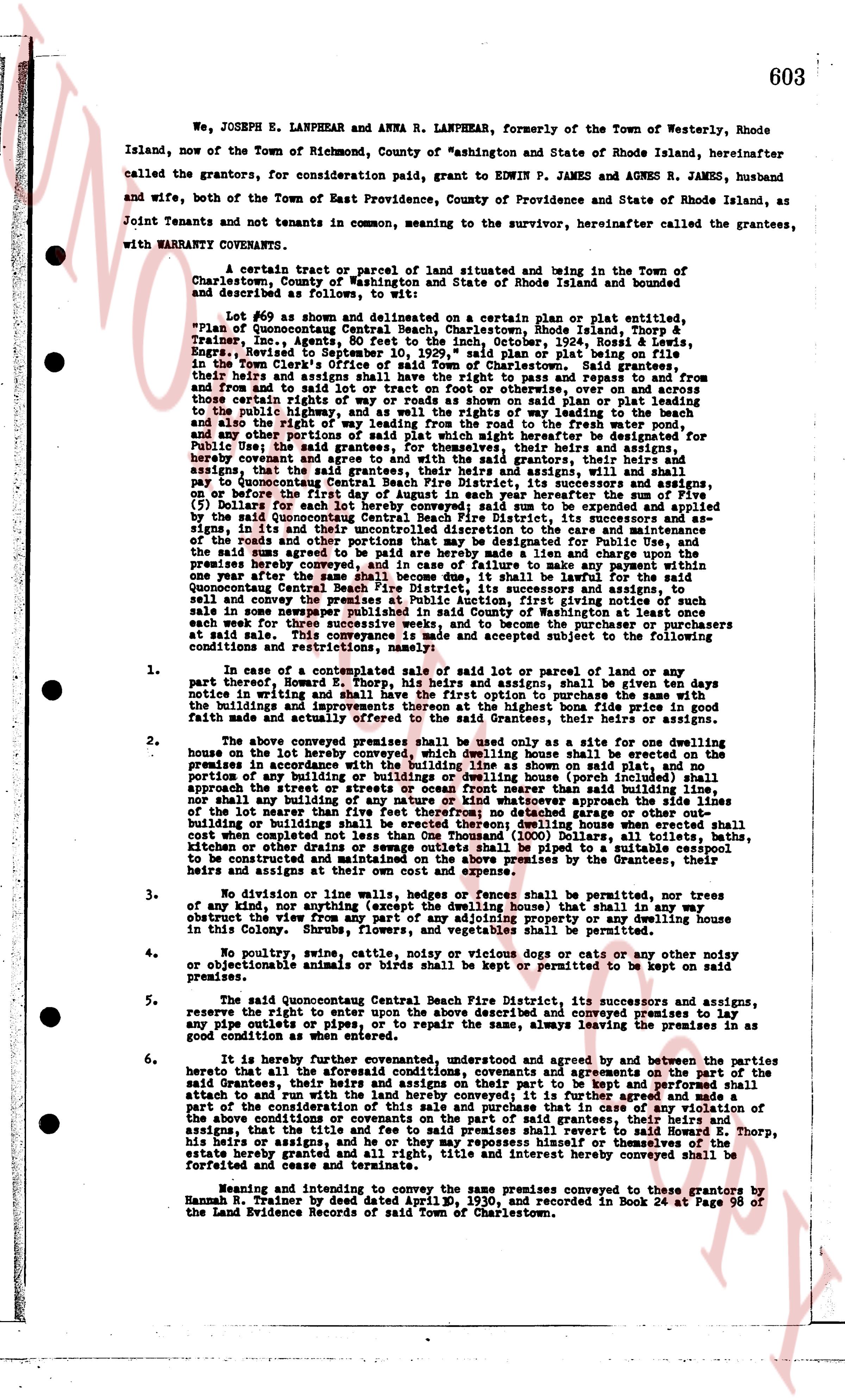
We, JOSEPH E. LANPHEAR and ANNA R. LANPHEAR, formerly of the Town of Westerly, Rhode Island, now of the Town of Richmond, County of Washington and State of Rhode Island, hereinafter called the grantors, for consideration paid, grant to EDWIN P. JAMES and AGNES R. JAMES, husband and wife, both of the Town of East Providence, County of Providence and State of Rhode Island, as Joint Tenants and not tenants in common, meaning to the survivor, hereinafter called the grantees, with WARRANTY COVENANTS,
A certain tract or parcel of land situated and being in the Town of Charlestown, County of Washington and State of Rhode Island and bounded and described as follows, to wit:
Lot #69 as shown and delineated on a certain plan or plat entitled, "Plan of Quonocutong Beach Improvement, Charlestown, Rhode Island, Thorp & Trainer, Inc., Agents, 80 Feet to the Inch, October, 1924", Ross & Lewis, Engineers, filed in the Town Clerk's office with said plan on plat book 1, page 10 in the Town Clerk's office of said Town of Charlestown. Said grantee shall have the right to use and enjoy the said lot and the right of way to and from and to said lot or tract on foot or in automobile, over and on across the roads shown on said plan and the right of way shown on said plan or plat leading to the public highway, and the right of ways relating to the beach way to the beach and the right of way to the beach as shown on said plan or plat leading to the beach and any other portions of said plat which might hereafter be designated for Public Use the said right of way being for the grantees, their heirs and assigns, and any other persons who hereby covenant and agree and with the said grantors, that their heirs and assigns, shall have the right of way to use and enjoy the said lot and the right of way to use and enjoy on or before the first day of August in each year hereafter their sum of the Five ($ 5) Dollars for each year in which said sum to be agreed to be paid by the said Quonocutong Beach Fire District, its successors and assigns, and in the event that the said sum is not paid to the care and control of the roads and the other portions that may be designated for Public Use, and the said sum agreed to be paid by the said lot and any other payment within one year after the same shall become due and payable, the said Fire District shall have a lien upon the premises hereby conveyed, and in case of failure to make any payment within one year after the same shall become due and payable, the said Fire District or Quonocutong Central Beach Fire District, its successors and assigns, is authorized to sell and convey the said lot and the right of way to the highest bidder at a sale conducted in some newspaper published in said County of Washington at least once each week for three weeks prior to said sale, and to become the purchaser or purchasers at said sale. This conveyance is made subject to all existing building conditions and restrictions, namely:
1. In case of a contemplated sale or transfer of said lot or parcel of land or any part thereof, the said buyers and their heirs and assigns, shall be given ten days notice in writing and shall have the first option to purchase the said land, the buildings and improvements thereon, at the highest bona fide price in good faith made and actually offered to the said Grantees, their heirs or assigns.
2. The above conveyed premises shall be used only as a site for one dwelling house, no other than the building line as shown on said plat, and no portion of the buildings and improvements thereon (except porches) shall extend beyond the premises in accordance with the building line as shown on said plat, and no portion of any building or improvement thereon (except porches) shall be less than 20 feet approach the street or streets or ocean front nearer than said building line, nor shall any building, structure or improvement be erected upon any portion of the lot nearer than five feet therefrom no detached garage or other out building or building for the storage of automobiles shall be erected, nor shall any closet or other drains or sewage outlets shall be piped to a suitable cesspool constructed and maintained at the sole cost and expense by the Grantees, their heirs and assigns at their own cost and expense.
3. No division or line walls, hedges or fences shall be permitted, nor any tree of any kind, nor any apartment or room (except porches) shall in any way obstruct the view from any part of any adjoining property or any dwelling house in this Colony. Therefore no fences of any kind shall be permitted.
4. No poultry, swine, cattle, canine, nocturnal or vicious dogs or cats or any other noisy or objectionable animals or birds shall be kept or permitted to be kept on said premises.
5. The said Quonocutong Central Beach Fire District, its successors and assigns, reserve the right to enter upon the above described and conveyed premises to lay any pipes or cables, or to repair the same, always leaving the premises in as good condition as when entered.
6. It is hereby further covenanted, understood and agreed by and between the parties hereto that all the aforesaid conditions, covenants and agreements on the part of the said Grantees, their heirs and assigns, shall be binding upon them and their heirs to attach and to run with the land hereby conveyed; and it is further made and a part of the conditions of this deed that if any of the said Grantees, their heirs or assigns the above conditions or covenants on the part of said grantees, their heirs and assigns violate the said right of way, or if they remove himself or themselves of the estate hereby granted, the said right, title and interest hereby conveyed shall be forfeited and cease and terminate.
Meaning and intending to convey the same premises conveyed to these grantors by Hannah B. Trainer by deed dated April 2, 1930, and recorded in Book 24 at Page 96 of the Land Evidence Records or said Town of Charlestown.
page 2 · read by Gemma vision
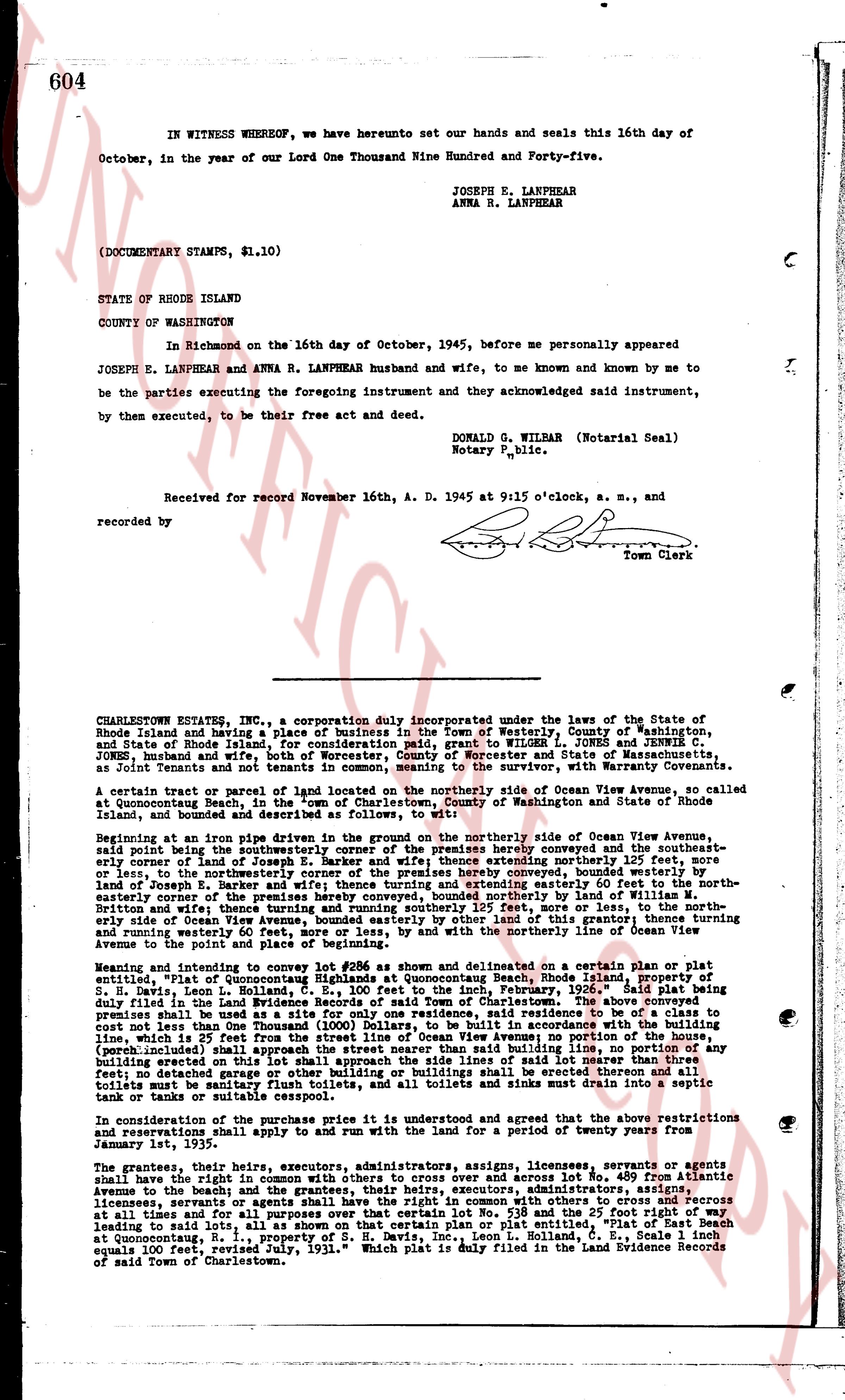
IN WITNESS WHEREOF, we have hereunto set our hands and seals this 16th day of
October, in the year of our Lord One Thousand Nine Hundred and Forty-five.
JOSEPH E. LANPHEAR
ANNA R. LANPHEAR
(DOCUMENTARY STAMPS, $1.10)
STATE OF RHODE ISLAND
COUNTY OF WASHINGTON
In Richmond on the 16th day of October, 1945, before me personally appeared
JOSEPH E. LANPHEAR and ANNA R. LANPHEAR husband and wife, to me known and known by me to
be the parties executing the foregoing instrument and they acknowledging said instrument,
by them executed, to be their free act and deed.
DONALD G. WILMAR (Notarial Seal)
Notary Public.
Received for record November 16th, A. D. 1945 at 9:15 o'clock, a. m., and
recorded by [?]
Town Clerk
----
CHARLESTOWN ESTATES, INC., a corporation duly incorporated under the laws of the State of
Rhode Island and having a place of business in the Town of Westerly, County of Washington,
State of Rhode Island for consideration paid, grant to WILMOT EDWIN P. JAMES and AGNES R.
JAMES his wife, both of the Town of Charlestown, County of Washington, State of Massachusetts,
as Joint Tenants and not tenants in common, meaning to the survivor, with Warranty Conveyants.
A certain tract or parcel of land located on the northerly side of Ocean View Avenue, so called
at Quonsetpoint Beach in the Town of Charlestown, County of Washington and State of Rhode
Island, bounded and described as follows:
Beginning at an iron pipe driven groundwater in the ground on the northerly side of Ocean View Avenue,
said point being the northeasterly corner of the premises hereby conveyed and the southeast-
ernly corner of lot No. 489, as shown on a certain plan dated some westerly 75 feet more or
less, to the northeasterly corner of the premises hereby conveyed, bounded westerly by
water, thence south 15 degrees 30 minutes east 100 feet more or less, to the southwesterly and
easterly corners of the premises hereby conveyed, bounded northerly by land of William M.
Brittain, thence west 75 feet more or less, to the southwesterly corner of the premises hereby
siderly side of Ocean View Avenue, bounded easterly by other land of this grantor; thence running
and returning to the point of beginning, bounded on the south by the northerly side of Ocean
Avenue to the point and place of beginning.
Meaning and intending to convey lot # 488 as shown and delineated on a certain plan or plat
entitled "Plan of Quonsetpoint Beach, Rhode Island," property of
S. H. Davis, Leon L. Holland, G. E., 100 feet to the inch, February, 1936, said plat being
duly filed in the Land Evidence Records of the Town of Charlestown. The said lot No. 488
premises shall be used as a site for only one residence, said residence to be of a class to
cost not less than One Thousand (1000) Dollars, to be situated in accordance with the building
line, being 50 feet from the center line of Ocean View Avenue, no portion, or any building,
(porch included) shall approach the street nearer than said building line, no portion, or any
building shall be situated more than 100 feet from the street, no livestock shall be kept,
fed; no detachage garage or other building or buildings shall be erected thereon and all
toilet facilities shall be sanitary, and all toilets and sinks must drain into a septic
tank or tanks or suitable cesspool.
And in consideration of the purchase price its used and interrelated and agree that the above restrictions
and reservations shall apply and are binding upon the grantor and grantee or any subsequent
January 1st, 1935.
The grantees, their heirs, executors, administrators, assigns, licensees, grantees, or grants agents
shall have the right in common with others to cross over and across lot No. 489 from Atlantic
Avenue to the beach; and the grantees, their heirs, executors, administrators, assigns,
licensees, grantees, or grants agents shall have the right in common with others to cross
at all times and for all purposes over that certain lot No. 538 and the 25 foot right of way
leading to said lots, all as shown on that certain plan or plat entitled "Plan of Plot at Quonset
point Beach, Rhode Island, A. D. 1931, Scale 1 inch
equals 100 feet, revised, July, 1931," which plat is duly filed in the Land Evidence Records
of said Town of Charlestown.
The page as recorded