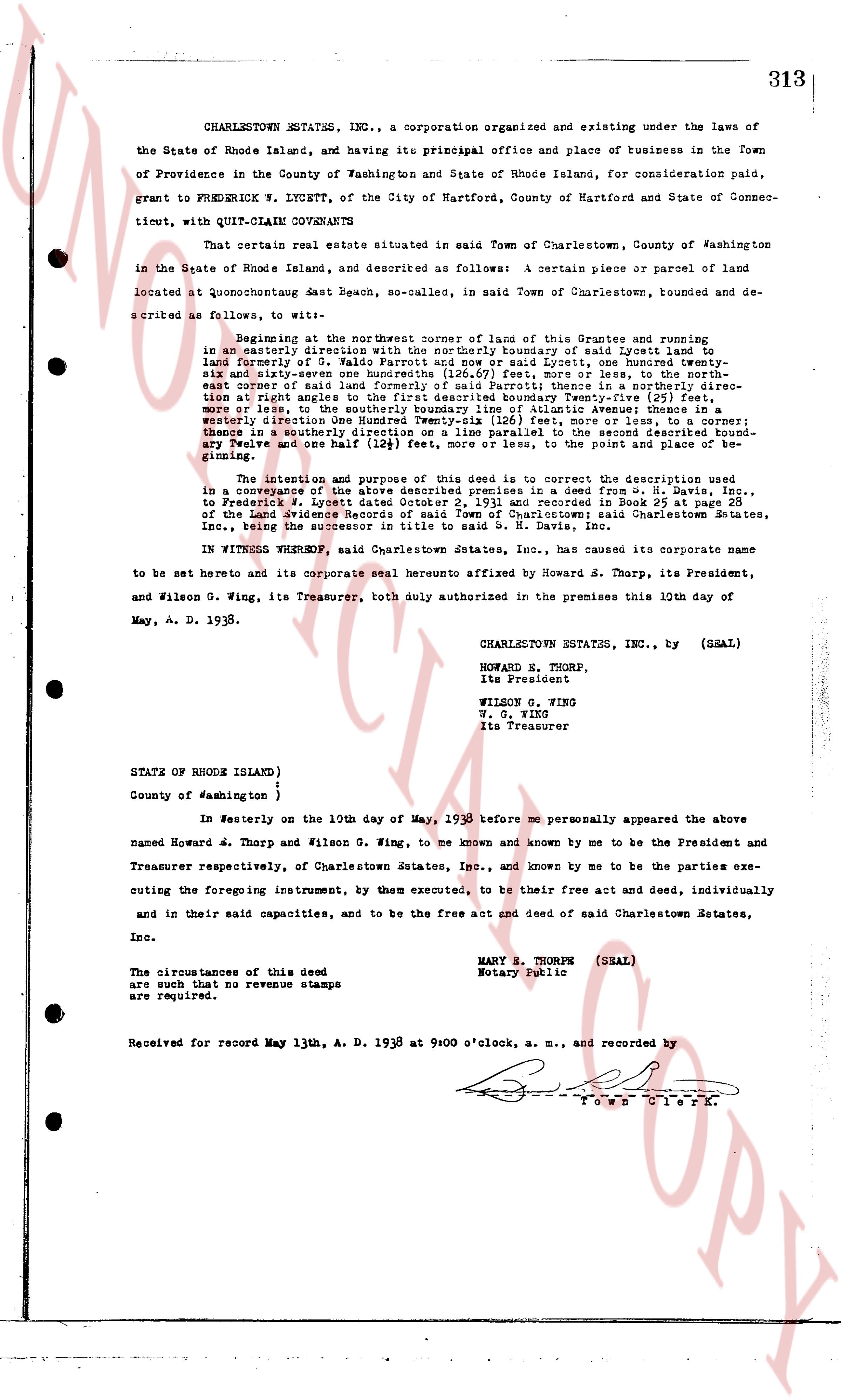
The instrument's own words
page 1
313
CHARLESTOWN ESTATES, INC., a corporation organized and existing under the laws of
the State of Rhode Island, and having its principal office and place of business in the Town
of Providence in the County of Washington and State of Rhode Island, for consideration paid,
grant to FREDERICK W. LYSETT, of the City of Hartford, County of Hartford and State of Connec-
ticut, with QUIT-CLAIM COVENANTS
That certain real estate situated in said Town of Charlestown, County of Washington
in the State of Rhode Island, and described as follows: a certain piece or parcel of land
located at Quonochonticut East Beach, so-named, in said Town of Charlestown, towned and de-
scribed as follows, to wit:
Beginning at the northeast corner of land of this Grantee and running
in an easterly direction with the northerly boundary of said Lysett land to
land formerly of G. Waldo Bartlett and after that easterly, and Lysett land, one hundred twenty
six and three quarters on the southerly boundary (126.75) east, more or less; thence in a north
easterly course of land formerly of said Bartlett thence in a northerly direction
to an easterly right angle corner in the land of Frederick Lysett, one hundred twenty
more or less, to the southerly boundary line of Atlantic Avenue; thence in a
westerly direction on the southerly boundary of said Atlantic Avenue, one hundred twenty
more or less, to the southerly boundary line of an alley parallel to the second described bound-
ary; thence in a southerly direction one (124) feet, more or less, to the point and place of be-
ginning.
The intention and purpose of this deed is to convey the description used
in a subdivision of the above described land by deed from Charlestown Estates, Inc.,
to Frederick W. Lysett dated October 2, 1931 and recorded in Book 25 at page 28
of the Land Evidence Records of said Town of Charlestown; said Charlestown Estates,
Inc., being the successor to the Atlantic Beach Lots, Inc.
IN WITNESS WHEREOF, said Charlestown Estates, Inc., has caused its corporate name
to be set hereto and its corporate seal hereto affixed by Howard S. Thorp, its President,
and Wilson G. Wing, its Treasurer, both duly authorized to premises in the presence 10th day of
May, A. D. 1938.
CHARLESTOWN ESTATES, INC., by (SEAL)
HOWARD S. THORP,
Its President
WILSON G. WING,
W. G. WING
Its Treasurer
STATE OF RHODE ISLAND)
County of Washington )
In Westerly on the 10th day of May, 1938 before me personally appeared the above
named Howard J. Thorp and Wilson G. Wing, to me known and known by me to be the President and
Treasurer respectively, of Charlestown Estates, Inc., and known by me to be the parties exe-
cuting the foregoing instrument, by them executed, to be their free act and deed, individually
and in their said capacities, and to be the free act and deed of said Charlestown Estates,
Inc.
MARY R. THORPE (SEAL)
Notary Public
The circumstances of this deed
are such that no revenue stamps
are required.
Received for record May 13th, A. D. 1938 at 9:00 o'clock, a. m., and recorded by
Town Clerk.
The page as recorded