The instrument's own words
page 1
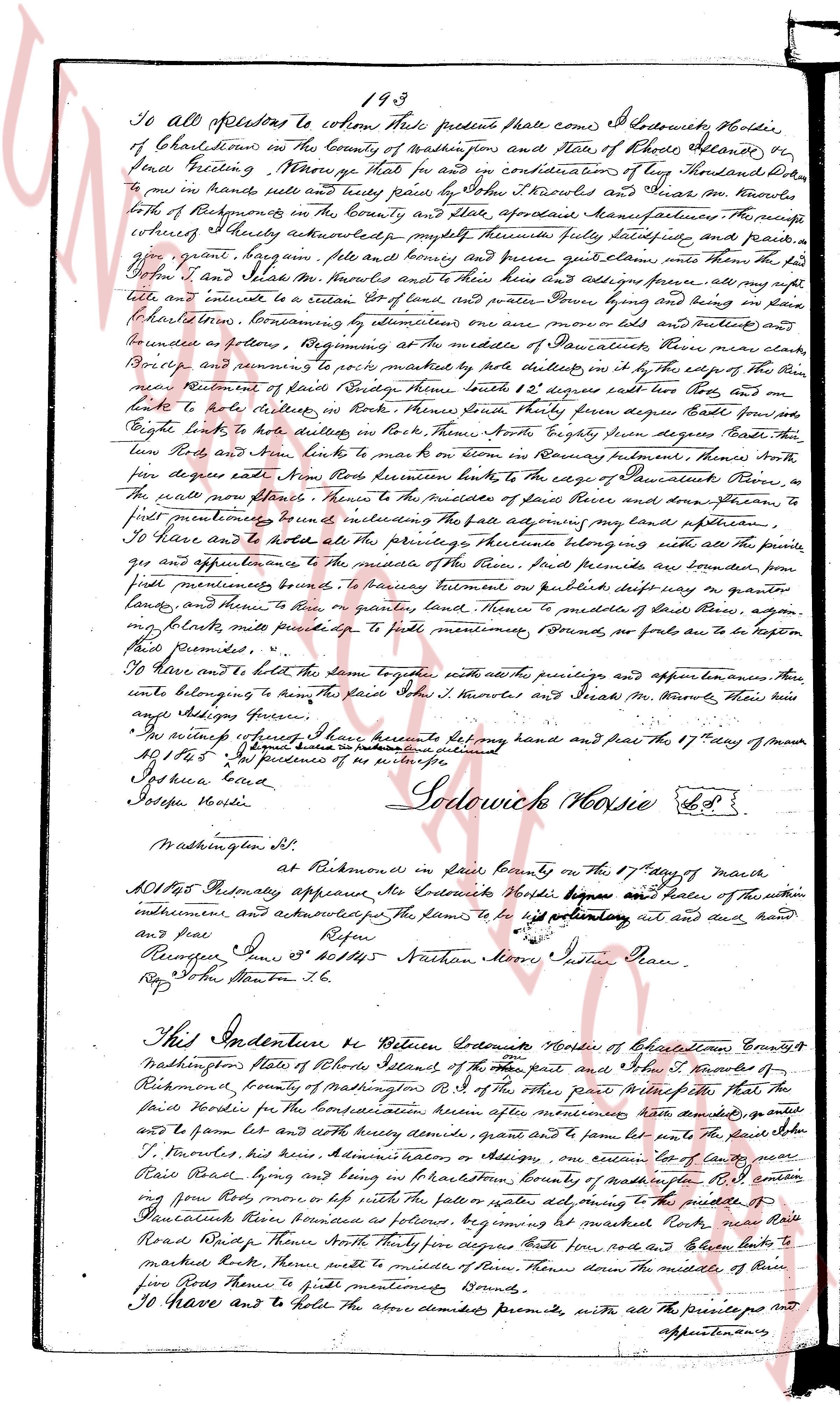
193
To all professors to whom these presents shall come) I Jedidiah Holder,
of Charlestown in the County of Washington and State of Rhode Island, et seq
send Greeting. Know ye that for and in consideration of ten Pounds Sterling paid
to me in hand sells true and trusty paid by John T. Knowles and Isaac M. Knowles
both of Richmond in the County and State aforesaid Manufacturers the price
whereof I hereby acknowledge receipt therefore fully satisfying and paid in
full grant bargain sell and convey free and clear procure quitclaim unto the said
John T. Knowles and Isaac M. Knowles their heirs and assigns forever all my right
title and interest to a certain lot of land waters and other things lying and being in
Charlestown bounded as follows beginning at the middle of Saucauket River near clear
Rocks and running to a post marked by five notches on the right hand side of the
river according to Record of Rhode Island south 12 degrees east two rods then north
two rods to hit delimiter in Rocks then North thirty seven degrees East four rods five
eight links to hit notches on the right hand side North forty seven degrees North five
rods then South eighty one degrees West five rods then south to run on boundary fences
four rods degree east Now bounded North to the middle of Saucauket River then to
the wall near stone houses then to the middle of Saucauket River and then running to
first permanent bounds the fare adjoining my land pasture then to
first permanent bounds including the fare adjoining my land pasture then to
first permanent bounds. To have and to hold all the privileges thereunto belonging with all the suits
and appurtenances of the residue of the house and premises bounds are bounded from
first permanent bounds to second permanent bounds south forty nine degrees west ten
chains then to hit river on granite land then to middle of Saucauket River again
running north east until presented to first permanent bounds so far as to be taken
said premises.
To have and to hold the same together with all the privileges and appurtenances there
unto belonging to the said John T. Knowles and Isaac M. Knowles their heirs
and assigns forever.
In witness whereof I have hereunto set my hand and seal the 17th day of march
1851 & c. In presence of as witnesses
Jos. harris sealed
Joseph kенdall
Jedidiah Holder [seal]
Washington et seq
At Richmond in said County on the 17th day of March
1851 before Primary appeared Jedidiah Holder being sworn and taken oath of the within
indenture and acknowledged the same to be his voluntary act and deed and hand
and seal.
Peace
R. Ranger Jw 5th Offi 45 Nathan Moore Justice Peace
Reg. John Stanton & c.
page 2
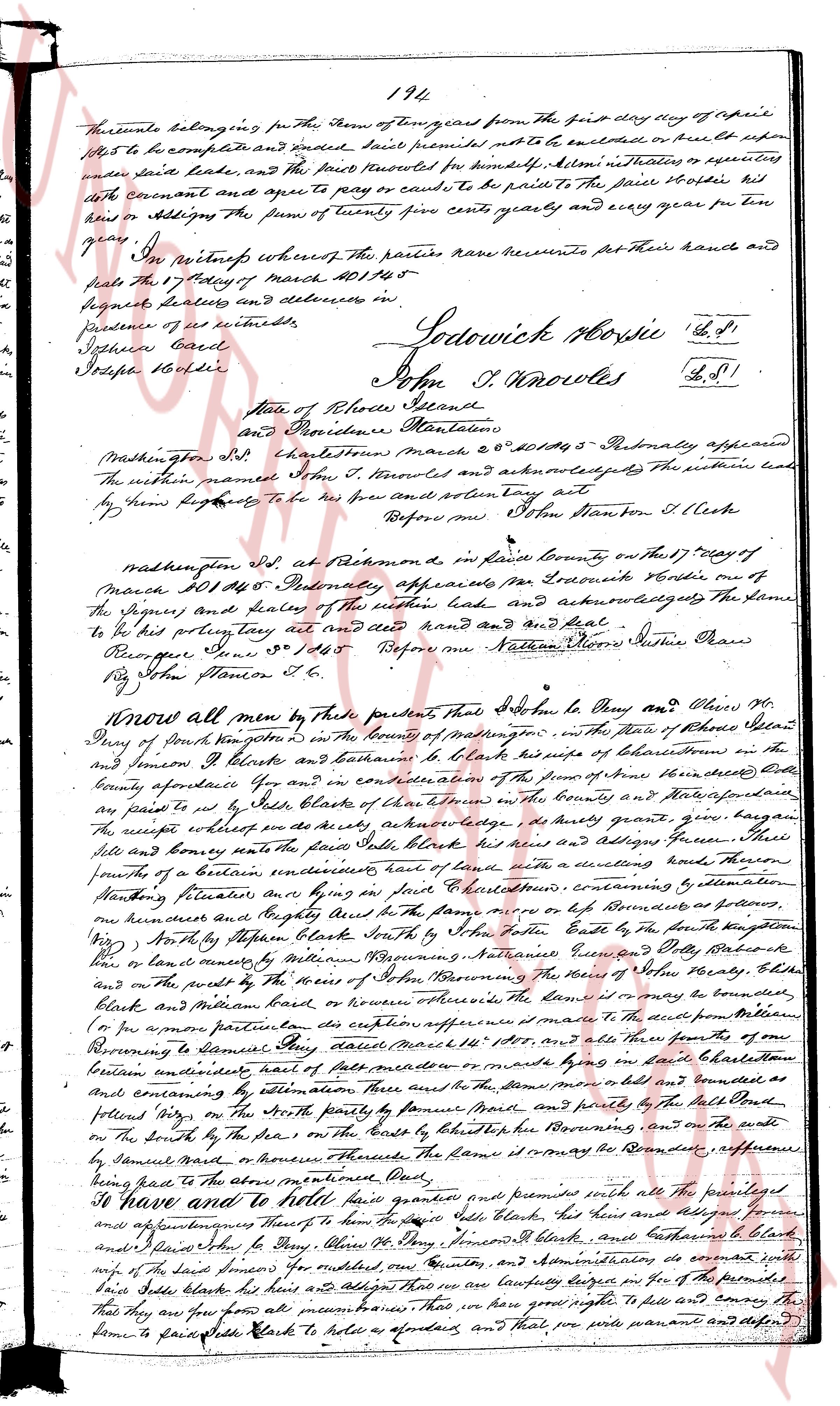
194
The parcels belonging to The term of ten years from the first day of April
1845 to be complete and ended said premises either to be enclosed or built upon
under said lease, and the party recorded for himself. All rents utilities or equities
with covenant and agree to pay or cause to be paid to the proprietor of the site, his
heirs or assigns the sum of twenty five cents yearly and every year for ten
years.
In witness whereof the parties have hereunto set their hands and
seals the 17th day of March ad 1845
Signet delivered and delivered in
presence of us witnesses
Joseph Bard
Stephen Bardie
Sodowick Norris L.S.
John T. Knowles L.S.
State of Rhode Island
and Providence Plantations
Washington m.d. Charlestown March 20th 1845 - Personally appeared
the within named John T. Knowles and acknowledged that the within lease
by him signed belongs to be his own and sealing the same act
Before me John Stanton 1st Clerk
Washington m.d. at Richmond p.o. in said County March 17th day
of March 1845 - Personally appeared Mr Sodowick Norris on oath of
the Signet and seal of the within lease and acknowledged that the same
to be his present act and deed hand and seal and Seal.
Recognize June 20th 1845 Before me Nathan Moore Justice Peace
By John Stanton 1st Cl.
Know all men by these presents that John M. Day and Clara M.
Day of South Kingstown in the County of Washington in the State of Rhode Island
and Jemison J. Blakes and Bethlehem A. Blakes her daughter and wife of Charlestown in the
County aforesaid etc and in consideration of the sum of three hundred Dollars
paid to me in full Side Blakes of Charlestown in the County and State aforesaid
the receipt whereof the said Side Blakes duly grants quit claim giving bargain
sale and convey grants the said Side Blakes his heirs and assigns forever All those
certain parcels of a certain undivided half of one hundred acres lying in the town of
Charlestown containing by estimation
Mounting situated in a ring in a few Charlestown containing by estimation
one hundred and forty acres and in the same manner or less boundaries as follows
(North) by the boundary of Side Blakes North by the boundary of the South Kingstown
(West) by Stephen Blake South by the boundary of William Beginning, Augustine Green and Billy Baker
or land owned by William Beginning, Augustine Green and Billy Baker
and on the part by the Forest of the Town of Charlestown the remaining part of the boundary
Blakes and M. Day however otherwise the same it or may be bounded
(for a more particular description reference is made to the deed from William
Beginning to Benjamin Day dated March 1st 1830, and all those their parts of the
Beginning to Benjamin Day and all those their parts of the
between boundaries not yet partitioned or marked by lines on said boundaries
and conveyed by estimation there also the said land more old and bounded as
and conveyed by estimation there also the said land more old and bounded as
follows lying on the North partly by the boundary of Side Blakes and partly by the Bulk Head
lying on the South by the Forest on the coast by the Bulkhead bordering on the east
by Samuel Barnes or others aforesaid The same are the Boundaries aforementioned
and here to the above mentioned Quit.
I have and to hold give granted and promise unto all the privileges
and appurtenances thereof to the said Side Blakes his heirs and assigns forever
And I declare John M. Day, Clara M. Day, Jemison J. Blakes and Bethlehem A. Blakes
wife of the said Jemison for undivided half of one hundred acres and covenants will warrant
that they are free from all encumbrances that they have good right to sell and convey the
same to said Side Blakes his heirs as aforesaid and that they will warrant and defend
The page as recorded